Fairfax in Fairfax County, Virginia — The American South (Mid-Atlantic)
World War II POW Camp Site
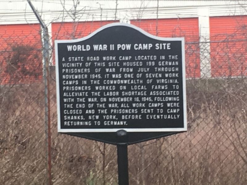
Photographed by Michael Lyons, circa January 5, 2019
1. World War II POW Camp Site Marker
Topics. This historical marker is listed in this topic list: War, World II. A significant historical date for this entry is November 16, 1945.
Location. 38° 51.172′ N, 77° 20.354′ W. Marker is in Fairfax, Virginia, in Fairfax County. It can be reached from the intersection of Gov’t Center Parkway and Ridge Top Road. Across from parking entrance to new apartments & retail on Ridge Top Rd. & Gov’t Center Pkwy. Behind the storage facility. (Short walkway is between Government Center Pkwy, Ridge Top Rd, Lee Hwy, & Waples Mill Road.). Touch for map. Marker is in this post office area: Fairfax VA 22030, United States of America. Touch for directions.

Regionally, this marker is in the Washington Metropolitan
this page online
Other nearby markers. At least 8 other markers are within 2 miles of this marker, measured as the crow flies: Manassas Gap Railroad (approx. 0.4 miles away); Bull Run Battlefields (approx. 1.1 miles away); Mount Vineyard (approx. 1.2 miles away); a different marker also named Richard Ratcliffe's Mount Vineyard Plantation (approx. 1.2 miles away); Old Fairfax High School (approx. 1.3 miles away); a different marker also named Manassas Gap Railroad (approx. 1.4 miles away); Ratcliffe Cemetery (approx. 1.4 miles away); Arlington-Fairfax Electric Railway (approx. 1½ miles away). Touch for a list and map of all markers in Fairfax.
Other markers no longer
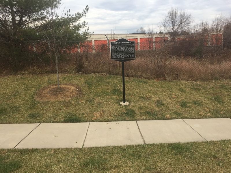
Photographed by Michael Lyons, January 7, 2019
2. World War II POW Camp Site Marker
Also see . . . Tracing POWs in Fairfax. (Submitted on January 8, 2019, by Michael Lyons of Centreville, Virginia.)
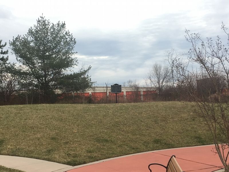
Photographed by Michael Lyons, January 7, 2019
3. World War II POW Camp Site Marker
Credits. This page was last revised on January 9, 2019. It was originally submitted on January 8, 2019, by Michael Lyons of Centreville, Virginia. This page has been viewed 1,806 times since then and 104 times this year. Photos: 1, 2, 3. submitted on January 8, 2019, by Michael Lyons of Centreville, Virginia. • Andrew Ruppenstein was the editor who published this page.
