Westlake Village in Ventura County, California — The American West (Pacific Coastal)
Triunfo Canyon
Conejo Valley
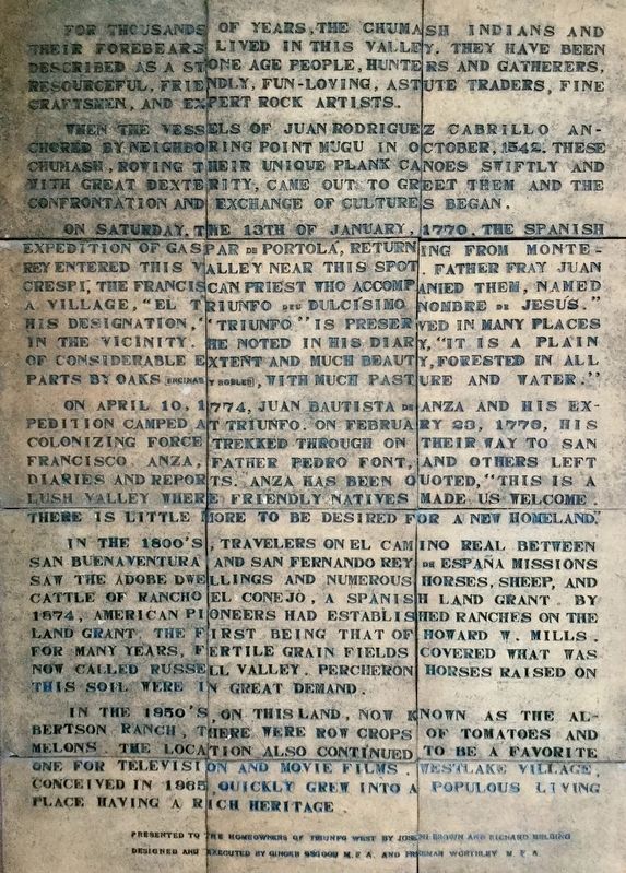
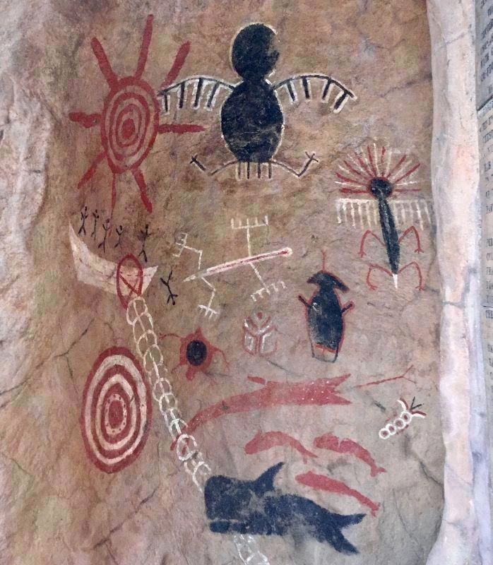
For thousands of years, the Chumash Indians and their forebears lived in this valley. They have been described as a stone age people, hunters and gatherers, resourceful, friendly, fun-loving, astute traders, fine craftsmen, and expert rock artists.
When the vessels of Juan Rodriguez Cabrillo anchored by neighboring Point Mugu in October, 1542, these Chumash, rowing their unique plank canoes swiftly and with great dexterity, came out to greet them, and the confrontation and exchange of cultures began.
On Saturday, the 13th of January, 1770, the Spanish expedition of Gaspar de Portola returning from Monterey entered this valley near this spot. Father Frey Juan Crespi, the Franciscan priest who accompanied them, named a village, “El Triunfo del Dulcísimo Nombre de Jesús.” His designation, “Triunfo” is preserved in many places in the vicinity. He noted in his diary, “It is a plane of considerable extent and much beauty, forested in all parts by oaks (encinas y robles), with much pasture and water.”
On April 10, 1774, Juan Battista de Anza and his expedition camped at Triunfo. On February 23, 1776, his colonizing force trekked through on their way to San Francisco. Anza, Father Pedro Font, and others left diaries and reports. Anza has been quoted, “This is a lush valley where friendly natives made us welcome. There is little more to be desired for a new homeland.”
In the 1800’s, travelers on El Camino Real between San Buenaventura and San Fernando Rey de España Missions saw the adobe dwellings and numerous horses, sheep, and cattle of Rancho el Conejo, a Spanish land grant. By 1874, American pioneers had established ranches on the land grant, the first being that of Howard W. Mills. For many years, fertile grain fields covered what was now called Russell Valley. Percheron horses raised on this soil were in great demand.
In the 1850’s, on this land, now known as the Albertson Ranch, there were row crops of tomatoes and melons. The location also continued to be a favorite one for television and movie films. Westlake Village, conceived in 1965, quickly grew into a popular living place having a rich heritage.
Presented to the homeowners of Triunfo West by Joseph Brown and Richard Belding. Designed and executed by Ginger Osgood MFA and Freeman Worthley MFA.
Topics and series. This historical marker is listed in these topic lists: Exploration • Native Americans • Settlements & Settlers. In addition, it is included in the El Camino Real, “The King's Highway” (California), the Juan Bautista de Anza National Historic Trail, and the Portolá Expedition series lists.
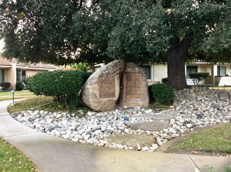
Location. 34° 8.945′ N, 118° 50.338′ W. Marker is in Westlake Village, California, in Ventura County. Marker is at the intersection of Westlake Boulevard and Triunfo Canyon Road, on the left when traveling south on Westlake Boulevard. Touch for map. Marker is in this post office area: Thousand Oaks CA 91362, United States of America. Touch for directions.
Other nearby markers. At least 8 other markers are within 4 miles of this marker, measured as the crow flies. The Lone Oak (within shouting distance of this marker); Crowley House (approx. 1.7 miles away); Early Ranchers of this Historic Site (approx. 1.8 miles away); Jungleland (approx. 1.8 miles away); Reyes Adobe Historical Site (approx. 3.3 miles away); Ballard Mountain (approx. 3.3 miles away); The Janss House (approx. 3.3 miles away); Civic Center (approx. 3.6 miles away).
Credits. This page was last revised on January 9, 2019. It was originally submitted on January 9, 2019, by Craig Baker of Sylmar, California. This page has been viewed 557 times since then and 66 times this year. Photos: 1, 2, 3. submitted on January 9, 2019, by Craig Baker of Sylmar, California. • Andrew Ruppenstein was the editor who published this page.


