
Downtown in San Antonio in Bexar County, Texas — The American South (West South Central)
Bowen's Island
Photographed by Cosmos Mariner, May 22, 2018
1. Bowen's Island Marker
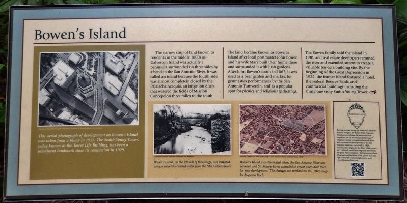
The land became known as Bowen’s Island after local postmaster John Bowen and his wife Mary built their home there and surrounded it with lush gardens. After John Bowen's death in 1867, it was used as a beer garden and market, for gymnastics performances by the San Antonio Turnverein, and as a popular spot for picnics and religious gatherings.
The Bowen family sold the island in 1910, and real estate developers rerouted the river and extended streets to create a valuable ten-acre building site. By the beginning of the Great Depression in 1929, the former island featured a hotel, the Federal Reserve Bank, and commercial buildings including the thirty-one story Smith-Young Tower.
Bronze plaques along the River Walk identify features designed by Robert H.H. Hugman.
this page online
Topics. This historical marker is listed in these topic lists: Industry & Commerce • Settlements & Settlers • Waterways & Vessels.
Location. 29° 25.388′ N, 98° 29.477′ W. Marker is in San Antonio, Texas, in Bexar County. It is in Downtown. It can be reached from South St. Mary's Street north of Villita Street, on the right when traveling north. Marker is located along the San Antonio Riverwalk, about 200 feet east of South St Mary's Street. Touch for map. Marker is at or near this postal address: 310 South St Mary's Street, San Antonio TX 78205, United States of America. Touch for directions.

Regionally, this marker is in South Texas. It is
Courtesy: San Antonio Light Collection, Institute of Texan Cultures, San Antonio
2. Marker detail: 1931 Aerial Photograph
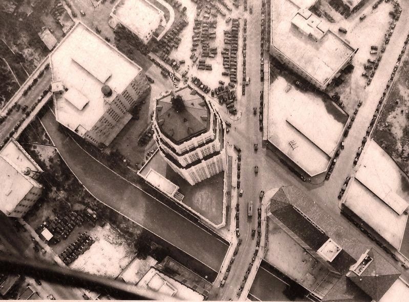
This aerial photograph of development on Bowen’s Island was taken from a blimp in 1931. The Smith-Young Tower, today known as the Tower Life Building, has been a prominent landmark since its completion in 1929.
Other nearby markers. At least 8 other markers are within walking distance of this marker: A different marker also named Bowen's Island (within shouting distance of this marker); Old Mill Crossing (about 400 feet away, measured in a direct line); Padre Damian Massanet's Table (about 500 feet away); Presa Street Crossing (about 500 feet away); Old San Antonio National Bank Building (about 500 feet away); The Pajalache Acequia (Ditch) (about 600 feet away); Address by President Lincoln (about 600 feet away); San Antonio Mutual Aid Association (about 700 feet away). Touch for a list and map of all markers in San Antonio.
More about this marker. Marker is a large, framed, rectangular composite plaque mounted horizontally on waist-high metal posts.
Also see . . . Vanished Forever and Forgotten: Bowen’s Island in San Antonio. Bowen purchased
Source: “Bird’s Eye View of the City of San Antonio, Bexar County Texas, 1873”
3. Marker detail: Bird’s Eye View of the City of San Antonio, Bexar County Texas, 1873
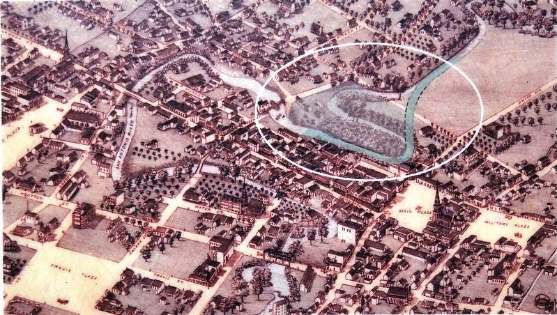
Bowen’s Island was eliminated when the San Antonio River was rerouted and St. Mary’s Street extended to create a ten-acre tract for new development. The changes are overlaid on this 1873 map by Augustus Koch.
Photographed by Courtesy: Institute of Texan Cultures, San Antonio
4. Marker detail: Irrigation wheel
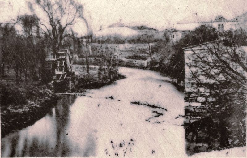
Bowen’s Island, on the left side of this image, was irrigated using a wheel that raised water from the San Antonio River.
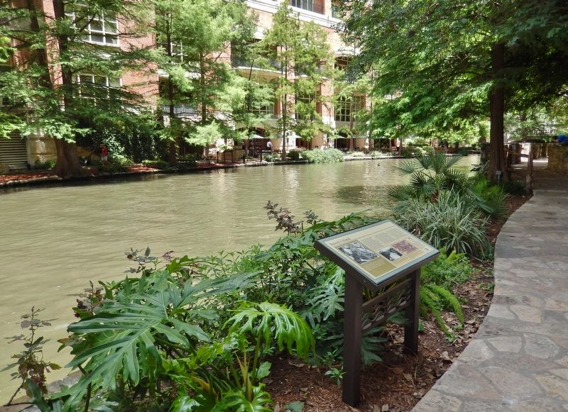
Photographed by Cosmos Mariner, May 22, 2018
5. Bowen's Island Marker (wide view; looking east along the San Antonio Riverwalk)
Credits. This page was last revised on February 2, 2023. It was originally submitted on January 11, 2019, by Cosmos Mariner of Cape Canaveral, Florida. This page has been viewed 1,392 times since then and 77 times this year. Photos: 1. submitted on January 11, 2019, by Cosmos Mariner of Cape Canaveral, Florida. 2, 3, 4, 5. submitted on January 12, 2019, by Cosmos Mariner of Cape Canaveral, Florida. • Andrew Ruppenstein was the editor who published this page.
