Wichita Falls in Wichita County, Texas — The American South (West South Central)
Wichita County Water Improvement Districts No. 1 & No. 2
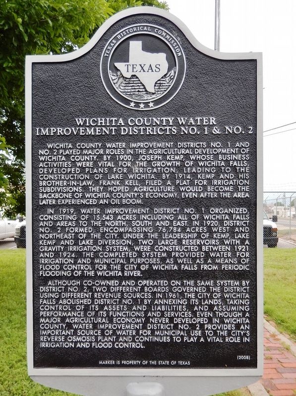
Inscription.
Wichita County Water Improvement Districts No. 1 and No. 2 played major roles in the agricultural development of Wichita County. By 1900, Joseph Kemp, whose business activities were vital for the growth of Wichita Falls, developed plans for irrigation, leading to the construction of Lake Wichita. By 1914, Kemp and his brother-in-law, Frank Kell, filed a plat for irrigation subdivisions. They hoped agriculture would become the backbone of Wichita County's economy, even after the area later experienced an oil boom.
In 1919, Water Improvement District No. 1 organized, consisting of 15,543 acres including all of Wichita Falls and areas to the north, south and east. In 1920, District No. 2 formed, encompassing 76,784 acres west and northeast of the city. Under the leadership of Kemp, Lake Kemp and Lake Diversion, two large reservoirs with a gravity irrigation system, were constructed between 1921 and 1924. The completed system provided water for irrigation and municipal purposes, as well as a means of flood control for the city of Wichita Falls from periodic flooding of the Wichita River.
Although co-owned and operated on the same system by District No. 2, two different boards governed the district using different revenue sources. in 1961, the city of Wichita Falls abolished District No. 1 by annexing its lands, taking control of its assets and liabilities, and assuming performance if its functions and services. Even though a major agricultural economy never developed in Wichita County, Water Improvement District No. 2 provides an important source of water for municipal use to the city's reverse osmosis plant and continues to play a vital role in irrigation and flood control.
Erected 2008 by Texas Historical Commission. (Marker Number 15526.)
Topics. This historical marker is listed in these topic lists: Agriculture • Industry & Commerce. A significant historical year for this entry is 1919.
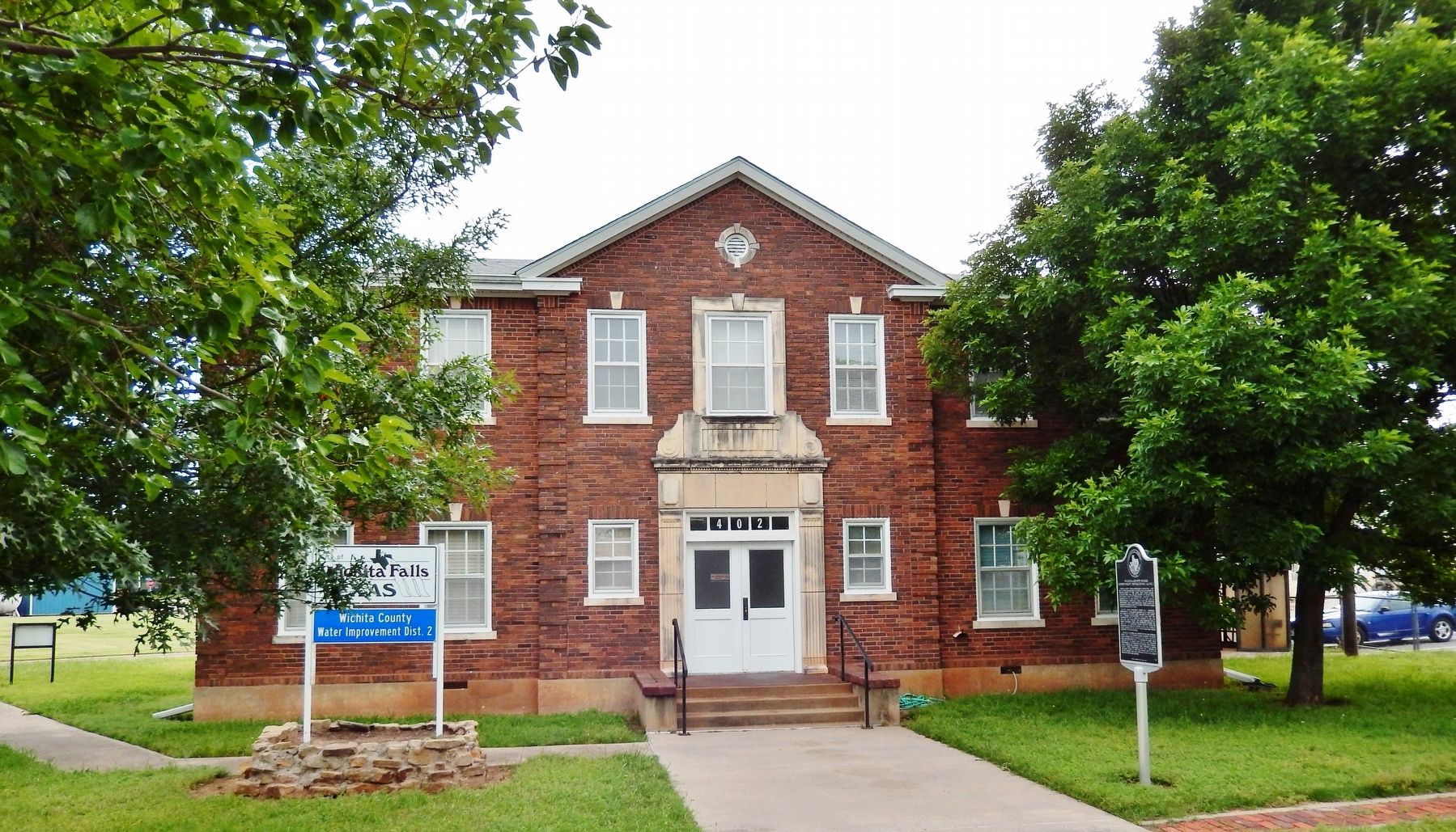
Location. 33° 54.013′ N, 98° 28.909′ W. Marker is in Wichita Falls, Texas, in Wichita County. Marker is at the intersection of East Scott Avenue (Business U.S. 287) and Kentucky Avenue, on the left when traveling north on East Scott Avenue. Marker is located near the main front entrance of the Wichita County Water Improvement office. Touch for map. Marker is at or near this postal address: 402 East Scott Avenue, Wichita Falls TX 76301, United States of America. Touch for directions.
Other nearby markers. At least 8 other markers are within 2 miles of this marker, measured as the crow flies. The Wichita Falls Bank Robbery of 1896 (approx. one mile away); John F. O'Donohue (approx. one mile away); The Zale Legacy (approx. one mile
away); J. A. Kemp Wholesale Grocery Building (approx. one mile away); Site of Gorsline's Fashion Livery Stable (approx. one mile away); Site of St. James Hotel (approx. 1.1 miles away); Joseph Hudson Barwise (approx. 1.1 miles away); Texas Governor James V. Allred (approx. 1.1 miles away). Touch for a list and map of all markers in Wichita Falls.
Credits. This page was last revised on January 17, 2019. It was originally submitted on January 15, 2019, by Cosmos Mariner of Cape Canaveral, Florida. This page has been viewed 224 times since then and 13 times this year. Photos: 1, 2, 3. submitted on January 15, 2019, by Cosmos Mariner of Cape Canaveral, Florida. • Bernard Fisher was the editor who published this page.


