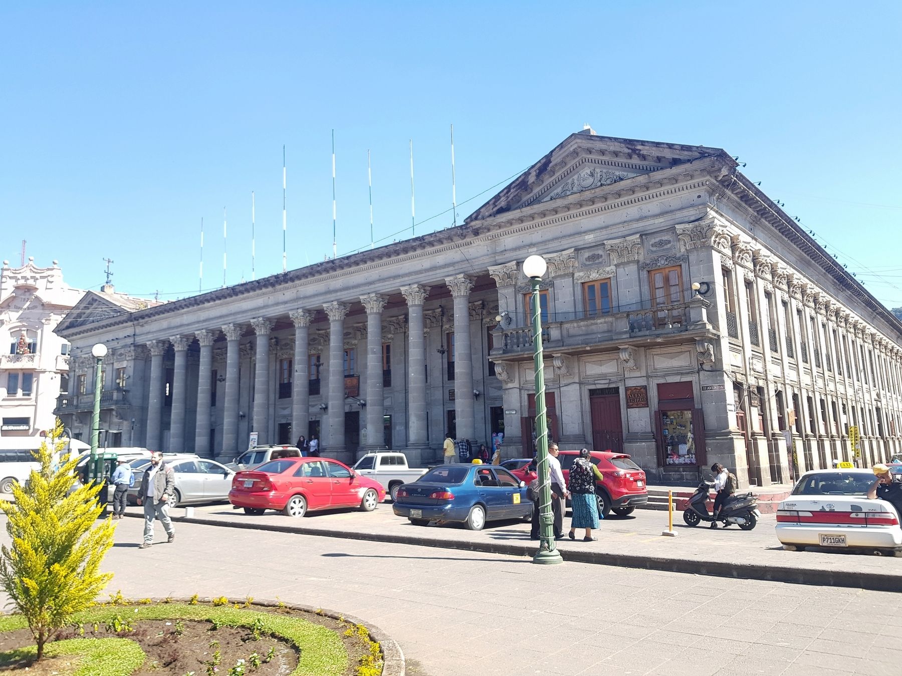
Quetzaltenango, Guatemala — Central America
The Quetzaltenango City Hall
Palacio Municipal
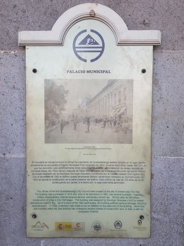
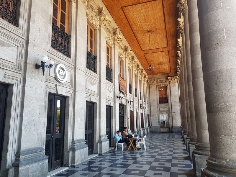
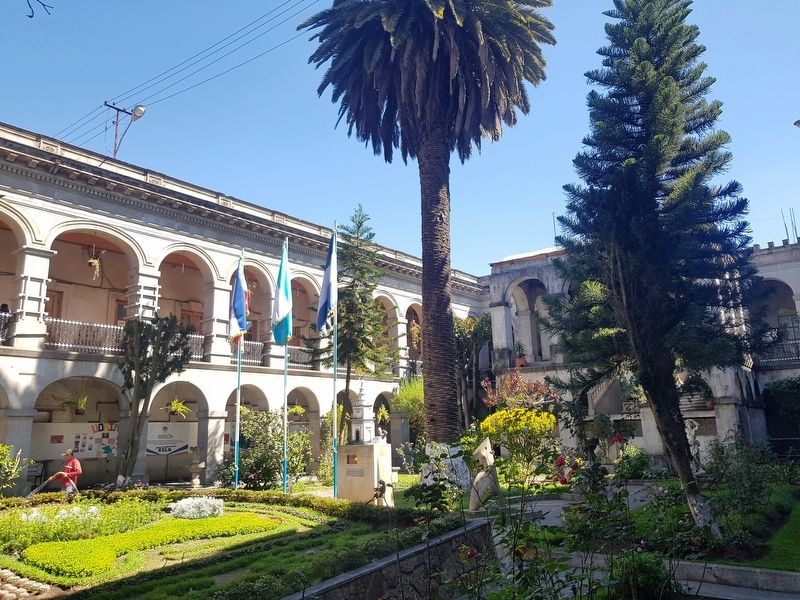
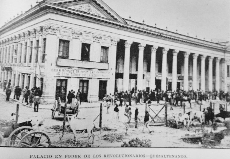
El inmueble en donde funcionó el primer Ayuntamiento de Quetzaltenango estaba ubicado en el lugar donde actualmente se encuentra el Palacio Municipal. Fue comprado en 1812. Durante esos años, hasta 1881 año en que fue demolido, tuvo adicionalmente otros usos: hospital, cuartel, administración de rentas, escuela de primeras letras, etc. Poco tiempo después de haber sido demolido, se inicia le construcción del actual Palacio Municipal diseñado por el Arquitecto Domingo Goicolea y construido por el maestro tallador Don Agatón Boj. Con el terremoto de 1902 el edificio queda seriamente dañado haciendose necesario su reconstrucción. En 1932 se decide la construcción de la parte posterior del edificio. Este edificio de más de 100 años se ha ido construyendo por partes, a la fecha aún no está totalmente terminado.
Pie de dibujo: Fotografia de 1930. En esta imagen se puede observar el pórtico de ingreso del Palacio Municipal.
The Quetzaltenango City Hall
The offices of the first Quetzaltenango City Council were located at the site of present-day City Hall. The building was purchased in 1812 and, prior to its demolition in 1881, had several functions: hospital, military headquarters, internal revenue service, elementary school, etc. Shortly after its demolition, construction of today's City Hall began. This building was designed by Domingo Goicolea y built by master stonecarver Agatón Boj. As of a result of the 1902 earthquake, the building suffered serious damage, requiring reconstruction. In 1932, a decision was made to put an addition on the back end of the building. More than one hundred years old, this building has undergone several phases of construction and, to date, is still not completely finished.
Caption: City Hall Portal, 1930.
Erected by Instituto Guatemalteco de Turismo, Cooperación Española y otras organizaciones.
Topics. This historical marker is listed in these topic lists: Architecture • Disasters • Government & Politics • Man-Made Features. A significant historical year for this entry is 1812.
Location. 14° 50.053′ N, 91° 31.074′ W. Marker is in Quetzaltenango. Marker is on 11 Avenida just north of 6a Calle, on the right when traveling north. Touch for map. Marker is in this post office area: Quetzaltenango 09001, Guatemala. Touch for directions.
Other nearby markers. At least 8 other markers are within walking distance of this marker. Cathedral of the Holy Spirit (within shouting distance of this marker); Cultural Center (about
120 meters away, measured in a direct line); The Death of Remigio Mérida (about 150 meters away); Site of the Discovery of the Virgin of Sorrows (about 150 meters away); La Exposición Artesanal e Industrial (about 150 meters away); Juan José Ortega (about 180 meters away); The German School of Guatemala (about 210 meters away); Rafael Landívar University (approx. 0.3 kilometers away). Touch for a list and map of all markers in Quetzaltenango.
Photographed By J. Makali Bruton, December 26, 2018
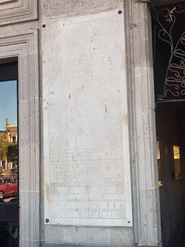
5. Decree No. 63 from October 29, 1825 founding the city of Quetzaltenango
This large marble tablet from 1975 is to the left of the entrance to the Quetzaltenango City Hall. It marked the 150th anniversary of the city's official founding, although in pre-Hispanic times the indigenous town of Xelajú was already located here.
Credits. This page was last revised on January 19, 2019. It was originally submitted on January 15, 2019, by J. Makali Bruton of Accra, Ghana. This page has been viewed 204 times since then and 17 times this year. Photos: 1, 2, 3. submitted on January 15, 2019, by J. Makali Bruton of Accra, Ghana. 4. submitted on January 19, 2019, by J. Makali Bruton of Accra, Ghana. 5, 6. submitted on January 15, 2019, by J. Makali Bruton of Accra, Ghana.
