Brookneal in Charlotte County, Virginia — The American South (Mid-Atlantic)
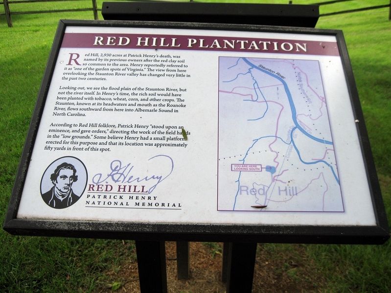
Red Hill Plantation
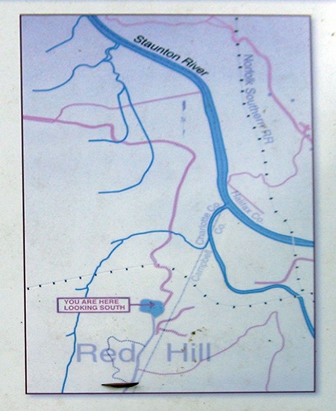
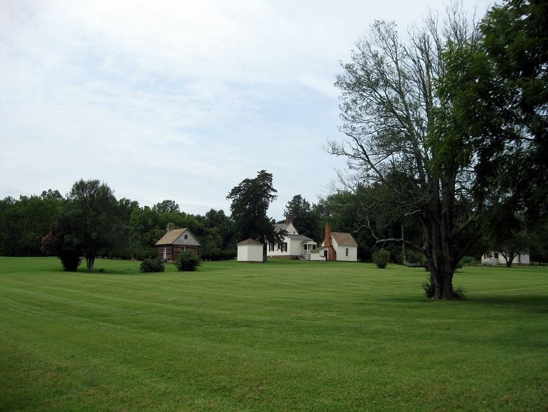
Looking out, we see the flood plain of the Staunton River, but not the river itself. In Henry's time, the rich soil would have been planted with tobacco, wheat, corn, and other crops. The Staunton, known at its headwaters and mouth as the Roanoke River, flows southward from here into Albemarle Sound in North Carolina.
According to Red Hill folklore, Patrick Henry "stood upon an eminence, and gave orders," directing the work of the field hands in the "low grounds." Some believe Henry had a small platform erected for this purpose and that its location was approximately fifty yards in front of this spot.
Erected by Red Hill, Patrick Henry Memorial Foundation.
Topics. This historical marker is listed in these topic lists: African Americans • Agriculture • Colonial Era • Patriots & Patriotism.
Location. 37° 1.883′ N, 78° 53.867′ W. Marker is in Brookneal, Virginia , in Charlotte County. Marker can be reached from Red Hill Road (County Route 677) one mile south of Staunton Hill Road (County Route 619). Walk 800 feet south from the Visitor Center past Patrick Henry's house to the fenceline to find the marker. Touch for map. Marker is at or near this postal address: 1250 Red Hill Rd, Brookneal VA 24528, United States of America. Touch for directions.
Other nearby markers. At least 8 other markers are within walking distance of this marker. Slave Cabin (within shouting distance of this marker); Osage Orange Tree (about 300 feet away, measured in a direct line); Patrick Henry House (about 300 feet away); Red Hill Scatter Garden (about 300 feet away); Last Law Office of Patrick Henry (about 400 feet away); Henry Family Graveyard (about 500 feet away); Red Hill (about 700 feet away); a different marker also named Red Hill (about 700 feet away). Touch for a list and map of all markers in Brookneal.
Also see . . . Red Hill Patrick Henry Memorial Foundation. (Submitted on January 16, 2019, by David Lassman of Waldorf, Maryland.)
Credits. This page was last revised on January 17, 2019. It was originally submitted on January 15, 2019, by David Lassman of Waldorf, Maryland. This page has been viewed 449 times since then and 53 times this year. Photos: 1, 2, 3. submitted on January 15, 2019, by David Lassman of Waldorf, Maryland. • Bill Pfingsten was the editor who published this page.


