Near Newburg in Charles County, Maryland — The American Northeast (Mid-Atlantic)
Christ Church
William and Mary Parish
| — | 1690 | — |
National Park Service, Thomas Stone National Historic Site, November 15, 2015
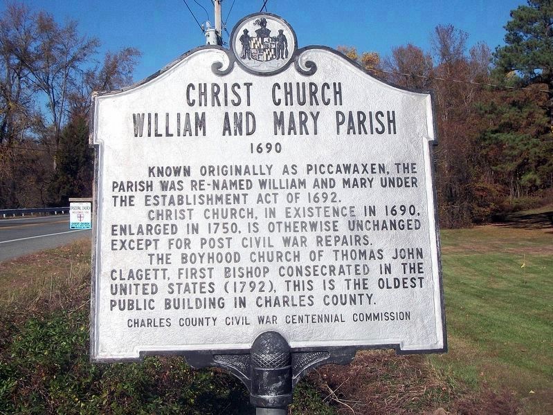
1. Christ Church Marker
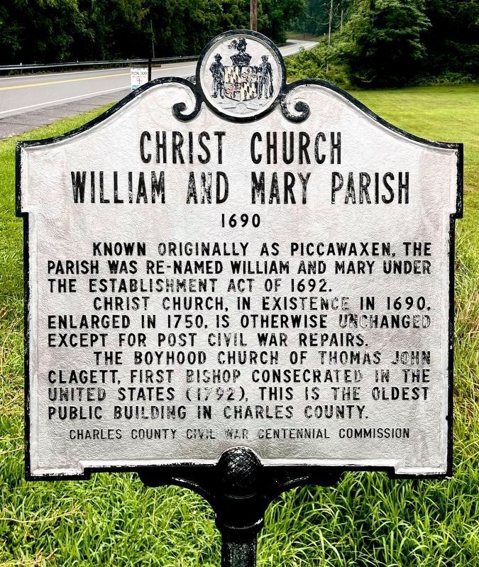
Known originally as Piccawaxen, the parish was re-named William and Mary under the Establishment Act of 1692.
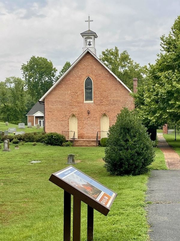
Christ Church, in existence in 1690, enlarged in 1750, is otherwise unchanged except for post civil war repairs.
The boyhood church of Thomas John Clagett, first bishop consecrated in the United States (1792), this is the oldest public building in Charles County.
Erected by Charles County Civil War Centennial Commission.
Topics. This historical marker is listed in these topic lists: Colonial Era • Religion & Religious Structures. A significant historical year for this entry is 1692.
Location. 38° 21.23′ N, 76° 56.329′ W. Marker is near Newburg, Maryland, in Charles County. It is on Rock Point Road (Maryland Route 257) 0.1 miles north of Morgantown Road, on the right when traveling north. Touch for map. Marker is in this post office area: Newburg MD 20664, United States of America. Touch for directions.

Regionally, this marker is in the Washington Metropolitan Area and in Southern Maryland. It is also in the American South, specifically in the Upper South, in the Mid-Atlantic, in the Tidewater,
this page online
Other nearby markers. At least 8 other markers are within 2 miles of this marker, measured as the crow flies: Cedar Point (approx. 0.2 miles away); Explore your Cheaspeake (approx. 1.6 miles away); Discover Southern Maryland’s Amazing Stories of Exploration, Hope, and Courage (approx. 1.6 miles away); In Memory of Robert Crain (approx. 1.6 miles away); Ways to Explore Southern Maryland’s Scenic and Historic Routes (approx. 1.6 miles away); John Wilkes Booth (approx. 1.6 miles away); Potomac Diversion (approx. 1.6 miles away); Cliffton (approx. 1.7 miles away). Touch for a list and map of all markers in Newburg.
Another marker is no longer nearby. John Wilkes Booth (was approx. 1.6 miles away but has been replaced with another marker now near it).
Also see . . . Christ Church-William & Mary Parish, Maryland Inventory of Historic Properties.
Photographed by Rico Ramirez, July 25, 2024
2. Christ Church Marker
Photographed by F. Robby, November 10, 2009
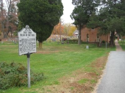
3. Christ Church Marker
Photographed by F. Robby, November 10, 2009
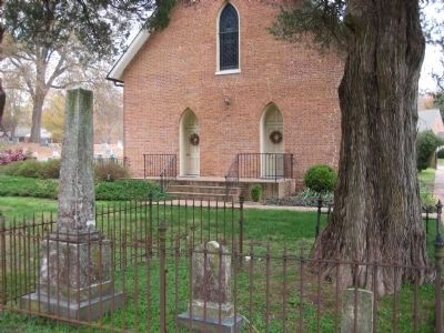
4. Christ Church
This side faces Rock Point Road.
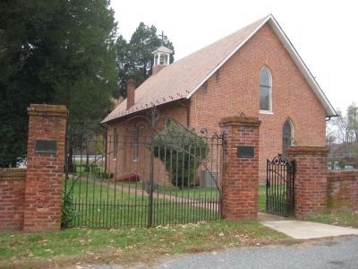
Photographed by F. Robby, November 10, 2009
5. Christ Church
Opposite side, facing Episcopal Church Lane. The brick gate was built in 1932.
National Park Service, Thomas Stone National Historic Site, January 22, 2019
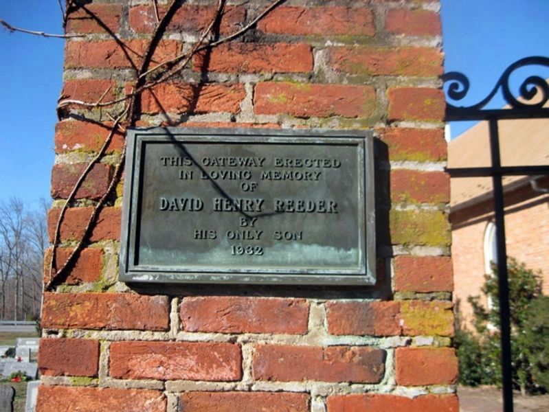
6. Rear Gate Marker #1
This gateway erected in loving memory of David Henry Reeder by his only son.
1932
National Park Service, Thomas Stone National Historic Site, January 22, 2019
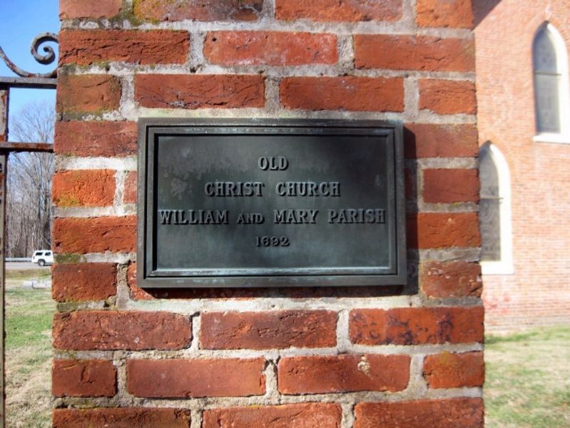
7. Rear Gate Marker #2
Old Christ Church William and Mary Parish
1692
Photographed by Rico Ramirez, July 25, 2024
8. Christ Church
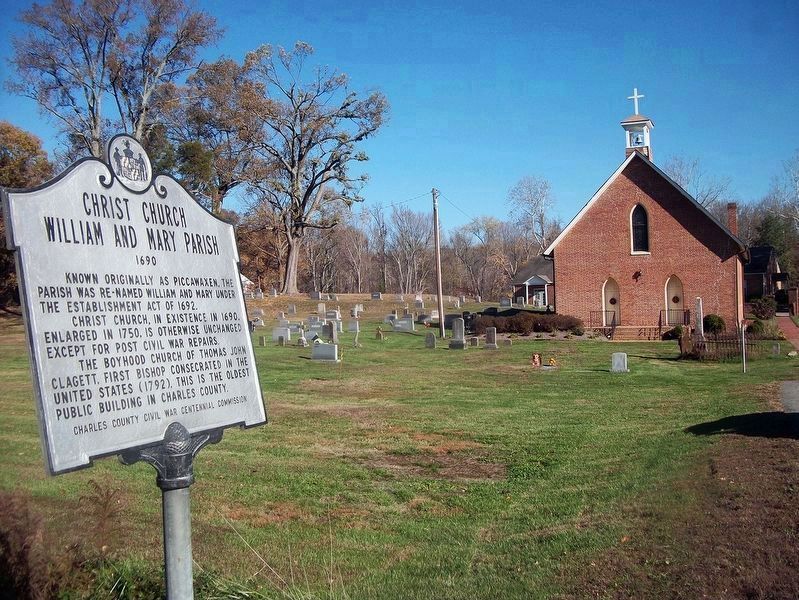
National Park Service, Thomas Stone National Historic Site, November 15, 2015
9. Christ Church Marker & Church Exterior
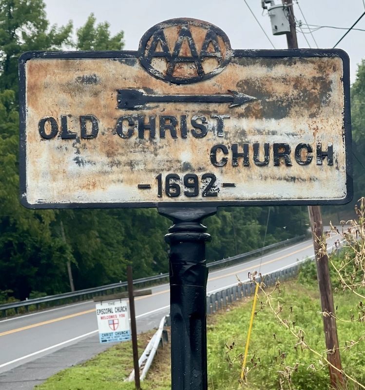
Photographed by Rico Ramirez, July 25, 2024
10. Street sign in front of church.
Credits. This page was last revised on August 1, 2024. It was originally submitted on November 15, 2009, by F. Robby of Baltimore, Maryland. This page has been viewed 3,134 times since then and 100 times this year. Last updated on January 17, 2019, by David Lassman of Waldorf, Maryland. Photos: 1. submitted on January 17, 2019, by David Lassman of Waldorf, Maryland. 2. submitted on July 26, 2024, by Rico Ramirez of Prince Frederick, Maryland. 3, 4, 5. submitted on November 15, 2009, by F. Robby of Baltimore, Maryland. 6, 7. submitted on January 23, 2019. 8. submitted on July 26, 2024, by Rico Ramirez of Prince Frederick, Maryland. 9. submitted on January 17, 2019. 10. submitted on July 26, 2024, by Rico Ramirez of Prince Frederick, Maryland. • Andrew Ruppenstein was the editor who published this page.
