Newburg in Charles County, Maryland — The American Northeast (Mid-Atlantic)
Crossing the Potomac
Off into the Darkness
— John Wilkes Booth – Escape of an Assassin —
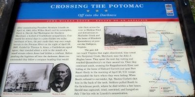
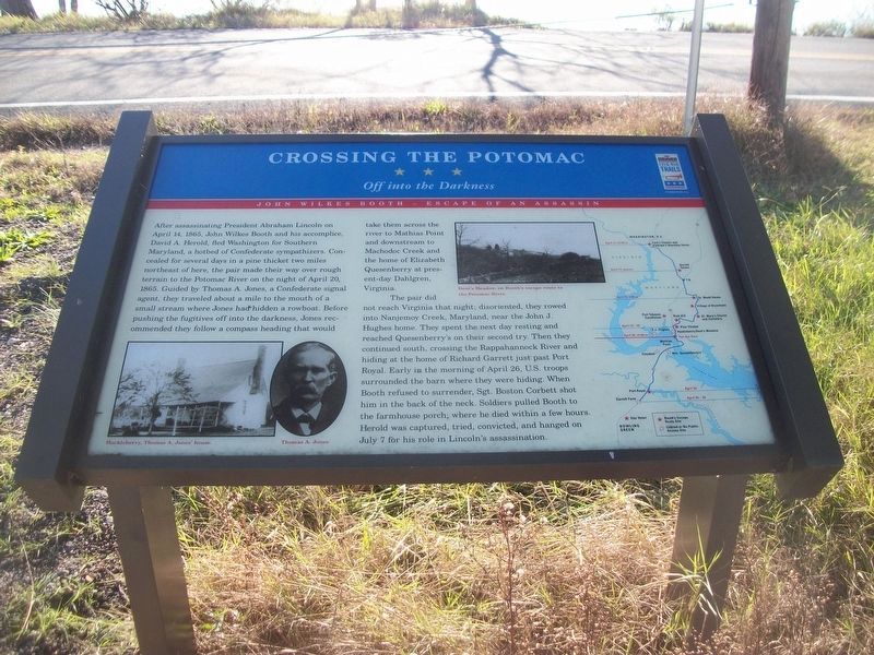
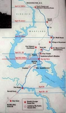
The pair did not reach Virginia that night; disoriented, they rowed into Nanjemoy Creek, Maryland, near John J. Hughes home. They spent the next day resting and reached Quesenberry’s on their second try. Then they continued south, crossing the Rappahannock River and hiding at the home of Richard Garrett just past Port Royal. Early in the morning of April 26, U.S. troops surrounded the barn where they were hiding. When Booth refused to surrender, Sgt. Boston Corbett shot him in the back of the neck. Soldiers pulled Booth to the farmhouse porch, where he died within a few hours. Herold was captured, tried, convicted, and hanged on July 7 for his role in Lincoln’s assassination.
Erected by Maryland Civil War Trails.
Topics and series. This historical marker is listed in this topic list: War, US Civil. In addition, it is included in the Booth's Escape, and the Maryland Civil War Trails series lists. A significant historical month for this entry is April 1910.
Location. 38° 23.867′ N, 76° 59.392′ W. Marker is in Newburg, Maryland, in Charles County. Marker is on Popes Creek Road, 3 miles south of Crain Highway (U.S. 301), on the left when traveling south. Touch for map. Marker is in this post office area: Newburg MD 20664, United States of America. Touch for directions.
Other nearby markers. At least 8 other markers are within 3 miles of this marker, measured as the crow flies. Keechland (approx. 0.7 miles away); Dents Meadow (approx. 1.1 miles away); “Cliffton” (approx. 1.8 miles away); "Huckleberry" (approx. 2 miles away); Southern Charles County Memorial (approx. 2.2 miles away); Wolleston Manor (approx. 2.3 miles away); 300 Year Old Southern Red Oak (approx. 2.3 miles away); a different marker also named Cliffton (approx. 2.4 miles away). Touch for a list and map of all markers in Newburg.
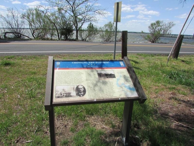
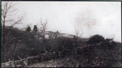
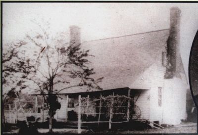
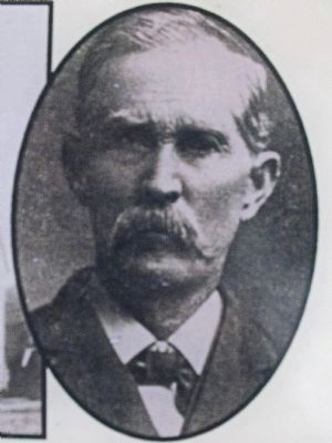
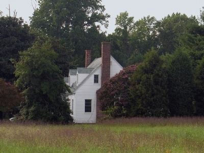
More about this marker. On the lower left is a photo of "Huckleberry, Thomas A. Jones' house," next to a portrait of Jones. In the
upper center is a photo of "Dent's Meadow, on Booth's escape route to the Potomac River." On the right is a map of Booths escape route with stars to indicate Civil War Trails stops.
Also see . . .
1. J. Wilkes Booth: An Account of His Sojourn in Southern Maryland. Thomas A. Jones' 1893 book. (Submitted on January 22, 2013, by Allen C. Browne of Silver Spring, Maryland.)
2. Huckleberry, Maryland Inventory of Historic Properties. (Submitted on January 17, 2019.)
3. Booth's Escape Byway. (Submitted on January 17, 2019.)
Additional keywords. John Wilkes Booth Escape Route
Credits. This page was last revised on May 10, 2023. It was originally submitted on January 3, 2008. This page has been viewed 6,941 times since then and 250 times this year. Last updated on January 17, 2019. Photos: 1. submitted on January 3, 2008. 2. submitted on January 17, 2019, by David Lassman of Waldorf, Maryland. 3. submitted on April 27, 2023, by Bill Coughlin of Woodland Park, New Jersey. 4. submitted on January 3, 2008. 5, 6, 7, 8, 9. submitted on January 21, 2013, by Allen C. Browne of Silver Spring, Maryland. • Bill Pfingsten was the editor who published this page.
