Near Wishram in Klickitat County, Washington — The American West (Northwest)
Wyam
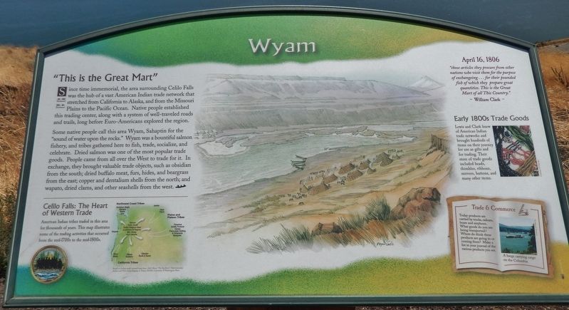
"This is the Great Mart"
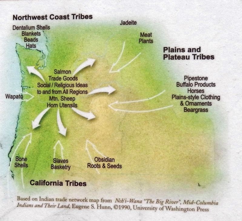
Some native people call this area Wyam, Sahaptin for the "sound of water upon the rocks." Wyam was a bountiful salmon fishery, and tribes gathered here to fish, trade, socialize, and celebrate. Dried salmon was one of the most popular trade goods. People came from all over the West to trade for it. In exchange, they brought valuable trade objects, such as obsidian from the south; dried buffalo meat, furs, hides, and beargrass from the east; copper and dentalium shells from the north; and wapato, dried clams, and other seashells from the west.
April 16, 1806
”those articles they procure from other nations who visit them for the purpose of exchangeing… for their pounded fish of which the prepare great quantities. This is the Great Mart of all This County.”
~William Clark~
Early 1800s Trade Goods
Lewis and Clark knew of American Indian trade networks and brought hundreds of items on their journey for use as gifts and for trading. Their store of trade goods included beads, thimbles, ribbons, mirrors, buttons, and many other items.
Topics and series. This historical marker is listed in these topic lists: Exploration • Industry & Commerce • Native Americans. In addition, it is included in the Lewis & Clark Expedition series list.
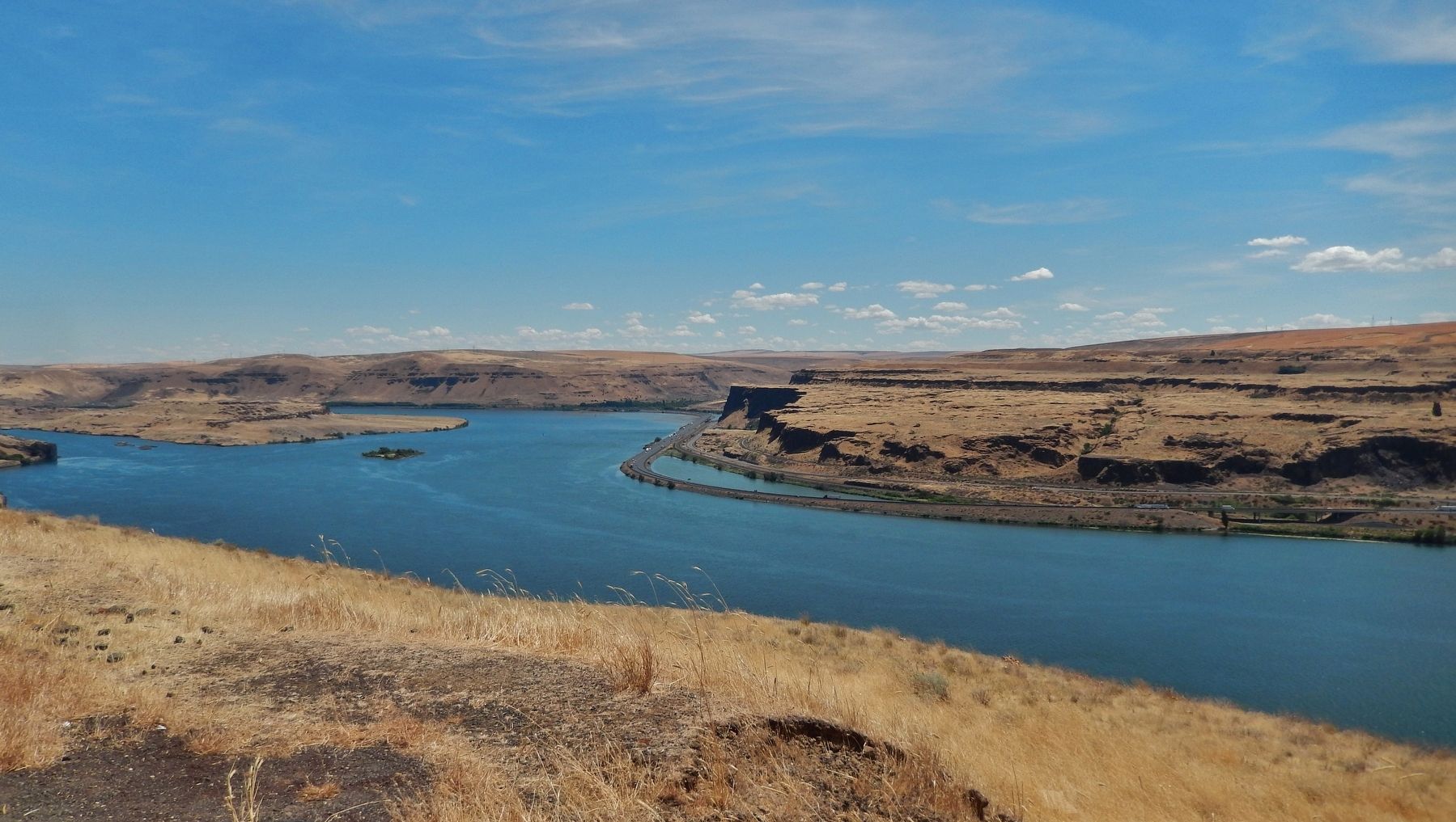
Location. 45° 39.769′ N, 120° 57.39′ W. Marker is near Wishram, Washington, in Klickitat County. Marker is on Lewis and Clark Highway (State Highway 14) 0.8 miles west of Wishram Road, on the left when traveling west. Marker is located in a large pull-out on the south side of the highway, overlooking the small town of Wishram and the Columbia River. Touch for map. Marker is in this post office area: Wishram WA 98673, United States of America. Touch for directions.
Other nearby markers. At least 8 other markers are within walking distance of this marker. Celilo Falls (here, next to this marker); Great Falls of the Columbia (here, next to this marker); View of Mount Jefferson (a few steps from this marker); Class P-2 Engine No. 2507 (approx. 0.6 miles away); The Lewis and Clark Expedition (approx. 0.9 miles away in Oregon); Greatest Indian Fishery of the Northwest (approx. 0.9 miles away in Oregon); Ancient Indian Fishing Grounds (approx. 0.9 miles away in Oregon); Celilo Falls Fishing Grounds (approx. 0.9 miles away in Oregon). Touch for a list and map of all markers in Wishram.
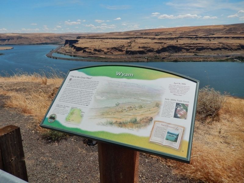
More about this marker. Marker is a large composite plaque, mounted horizontally on a waist-high wooden post.
Related markers. Click here for a list of markers that are related to this marker. Celilo Falls
Also see . . . Journals of the Lewis & Clark Expedition: April 16, 1806. Lewis: "Capt. Clark passed the river with the two interpreters, the indian woman and nine men in order to trade with the natives for their horses, for which purpose he took with him a good part of our stock of merchandize."
Clark: “I Set out late and arrived at Sunset and informed the natives that in the morning I would trade with them... Saw abt. 100 Stacks of fish… maney nations visit this place for trade… I saw great numbers of horses…” (Submitted on January 22, 2019, by Cosmos Mariner of Cape Canaveral, Florida.)
Credits. This page was last revised on January 24, 2019. It was originally submitted on January 21, 2019, by Cosmos Mariner of Cape Canaveral, Florida. This page has been viewed 157 times since then and 13 times this year. Photos: 1. submitted on January 21, 2019, by Cosmos Mariner of Cape Canaveral, Florida. 2, 3, 4. submitted on January 22, 2019, by Cosmos Mariner of Cape Canaveral, Florida. • Andrew Ruppenstein was the editor who published this page.


