Near Okanogan in Okanogan County, Washington — The American West (Northwest)
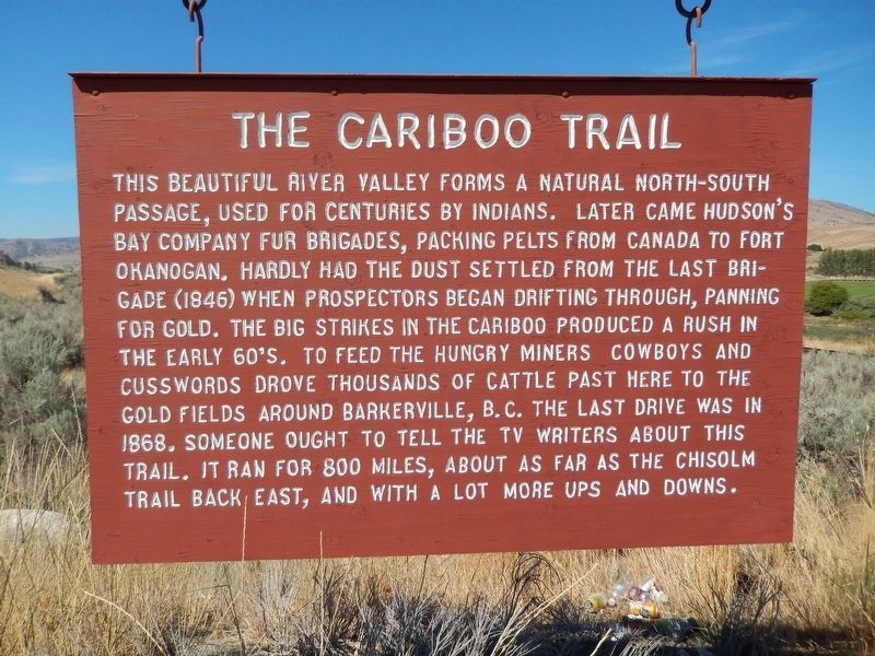
The Cariboo Trail
Photographed by Cosmos Mariner, July 29, 2015
1. The Cariboo Trail Marker
Erected by Okanogan County Historical Society.
Topics. This historical marker is listed in these topic lists: Indigenous Peoples and Communities • Industry & Commerce • Roads & Vehicles.
Location. 48° 18.406′ N, 119° 37.882′ W. Marker is near Okanogan, Washington, in Okanogan County. It is on U.S. 97 3.7 miles south of Osprey Drive (State Highway 20), on the right when traveling south.
this page online

Regionally, this marker is in the Okanogan Highlands. It is also in the American Mountain West and in the Lewis & Clark Corridor. Globally, it is in North America, in the Cascade Range, on the Pacific Rim, in the Western Hemisphere, in the Western World, and in the Anglosphere.
Other nearby markers. At least 8 other markers are within 14 miles of this marker, measured as the crow flies: The Curtis Sheep Slaughter (approx. one mile away); 1925 - Cariboo Hotel (approx. 4½ miles away); 1919- Baines Building (approx. 4.6 miles away); Okanogan County World War I Memorial (approx. 4.7 miles away); The Chillowist Trail (approx. 5.6 miles away); St. Mary's Mission (approx. 9.9 miles away); Scotch Creek Basin (approx. 13.8 miles away); Ruby (approx. 13.9 miles away). Touch for a list and map of all markers in Okanogan.
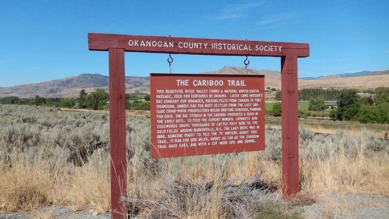
More about this marker. This is a large painted wooden "bill-board" style
Photographed by Cosmos Mariner, July 29, 2015
2. The Cariboo Trail Marker (wide view; looking west across the Okanogan River)
Also see . . .
1. The Old Cariboo Trail. From Wallula Gap on the Columbia River, the Old Cariboo Trail was built over the route of the Hudson's Bay Brigade Trail, which began at Fort Okanagan, near the Wallula Gap area on the Columbia River and passed north through Eastern Washington along the Columbia River to the Okanogan River and north into British Columbia. Hudson's Bay Company fur traders brigades followed this route up until 1847, when the Hudson's Bay Company withdrew from the Northwest. Cattle drives were common along this trail to supply the gold miners, who arrived in British Columbia in the late 1850s. (Submitted on January 22, 2019, by Cosmos Mariner of Cape Canaveral, Florida.)
2. Cariboo Gold Rush. The Cariboo Gold Rush was a gold rush in the Colony of British Columbia, which earlier joined the Canadian province of British Columbia. The first gold discovery was made at Hills Bar in 1858, followed by more strikes in 1859 on the Horsefly River, and on Keithley Creek and Antler Creek in 1860. The actual rush began until 1861, when these discoveries were
Photographed by Cosmos Mariner, July 29, 2015
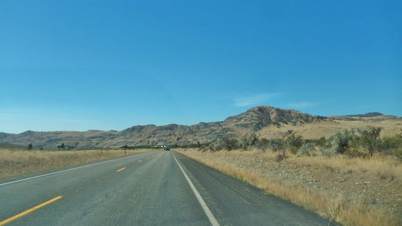
3. U.S. Highway 97 (wide view looking north from near marker)
Credits. This page was last revised on January 25, 2019. It was originally submitted on January 22, 2019, by Cosmos Mariner of Cape Canaveral, Florida. This page has been viewed 2,219 times since then and 154 times this year. Photos: 1, 2, 3. submitted on January 22, 2019, by Cosmos Mariner of Cape Canaveral, Florida. • Andrew Ruppenstein was the editor who published this page.
