Gautier in Jackson County, Mississippi — The American South (East South Central)
Graveline Bayou Indian Mound
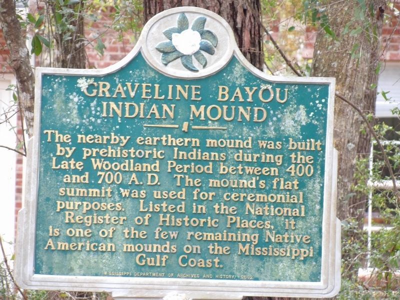
Photographed by Duane and Tracy Marsteller, March 9, 2024
1. Graveline Bayou Indian Mound Marker
Erected 2002 by Mississippi Department of Archives and History.
Topics and series. This historical marker is listed in this topic list: Indigenous Peoples and Communities. In addition, it is included in the Mississippi State Historical Marker Program series list.
Location. 30° 21.81′ N, 88° 39.57′ W. Marker is in Gautier, Mississippi, in Jackson County. It is on Barracuda Dr. 0.2 miles south of Graveline Rd, on the right when traveling south. Touch for map. Marker is in this post office area: Gautier MS 39553, United States of America. Touch for directions.

Regionally, this marker is in the American South, specifically in the Deep South, and on the Gulf Coast. Globally, it is in North America, a Gulf of Mexico state, the Western Hemisphere, the Western
this page online
Other nearby markers. At least 8 other markers are within 3 miles of this marker, measured as the crow flies: The Alfred E. Lewis House (approx. 1.1 miles away); Gautier War Memorial (approx. 2.2 miles away); City of Gautier (approx. 2.2 miles away); McRae Family Cemetery (approx. 2.4 miles away); Twelve Oaks (approx. 2½ miles away); Gautier Beachfront Historic District (approx. 2.6 miles away); Jennie Orrell House (approx. 2.7 miles away); New Era Missionary Baptist Church (approx. 2.8 miles away). Touch for a list and map of all markers in Gautier.
Another marker is no longer nearby. Labrot House (was approx. 2.6 miles away but has been confirmed missing).
Regarding Graveline Bayou Indian Mound. The mound is not visible from the sign and is in a residential neighborhood. The location of the subject mound was not apparent.
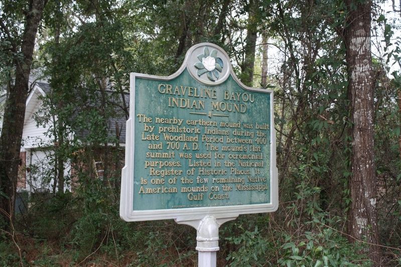
Photographed by Stephen Bell, January 22, 2019
2. Graveline Bayou Indian Mound Marker
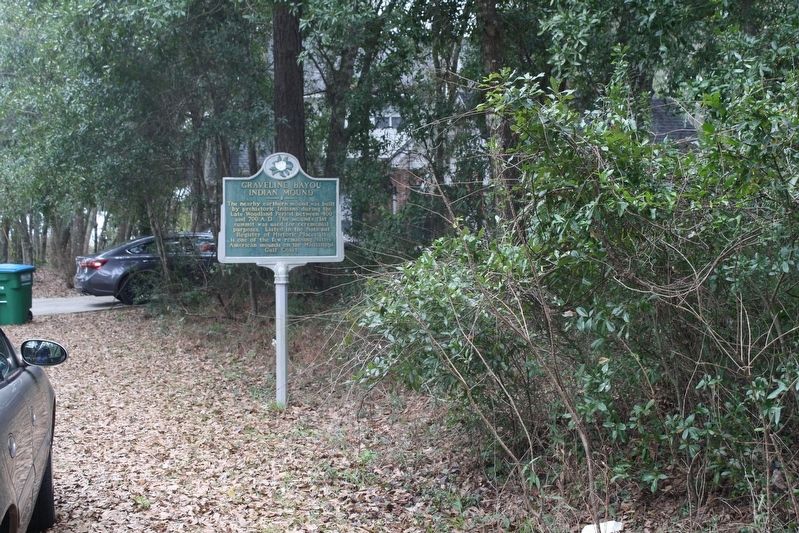
Photographed by Stephen Bell, January 22, 2019
3. Graveline Bayou Indian Mound Marker
Credits. This page was last revised on March 18, 2024. It was originally submitted on January 22, 2019, by Stephen Bell of Biloxi, Mississippi. This page has been viewed 2,653 times since then and 299 times this year. Photos: 1. submitted on March 14, 2024, by Duane and Tracy Marsteller of Murfreesboro, Tennessee. 2, 3. submitted on January 22, 2019, by Stephen Bell of Biloxi, Mississippi. • Andrew Ruppenstein was the editor who published this page.
