Bel Alton in Charles County, Maryland — The American Northeast (Mid-Atlantic)
John Wilkes Booth

Photographed by Rico Ramirez, July 14, 2024
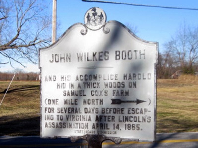
1. John Wilkes Booth Marker
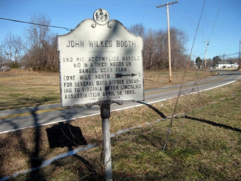
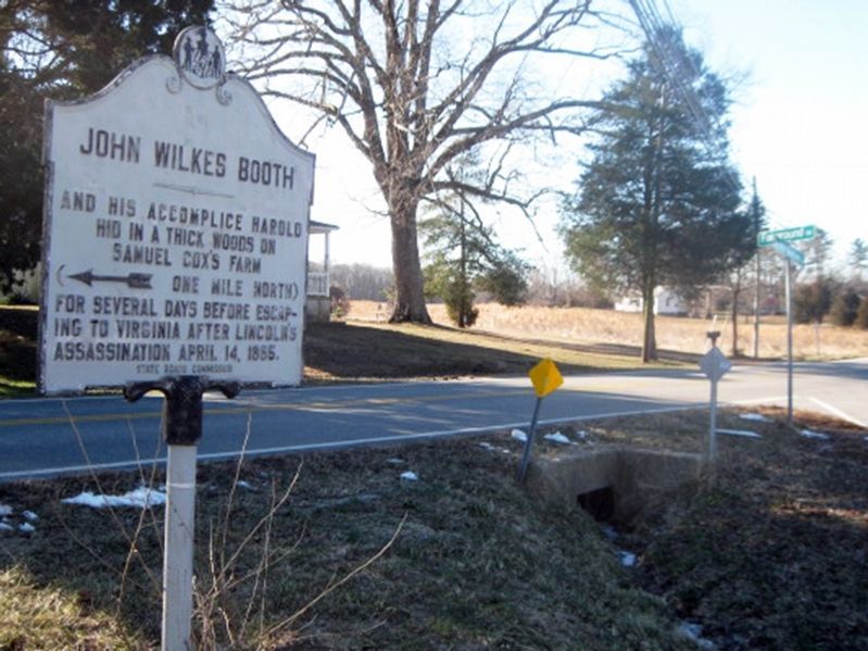
John Wilkes Booth and his accomplice Harold hid in a thick woods on Samuel Cox's farm. (One mile north →) for several days before escaping to Virginia after Lincoln's assassination April 14, 1865.
Erected 2000 by State Roads Commission.
Topics and series. This historical marker is listed in this topic list: War, US Civil. In addition, it is included in the Booth's Escape, and the Maryland Historical Trust series lists. A significant historical date for this entry is April 14, 1865.
Location. 38° 27.735′ N, 76° 59.239′ W. Marker is in Bel Alton, Maryland, in Charles County. It is at the intersection of Bel Alton Newtown Road and Fairground Road, on the left when traveling east on Bel Alton Newtown Road. Marker is 400 feet north of the Bel Atlon Fire Department. Touch for map. Marker is at or near this postal address: 9765 Bel Alton Newtown Rd, Bel Alton MD 20611, United States of America. Touch for directions.

Regionally, this marker is in the Washington Metropolitan Area and in Southern Maryland. It is also in the American South, specifically in the Upper South, in the Mid-Atlantic, in the Tidewater, and on the Eastern
this page online
Other nearby markers. At least 8 other markers are within 2 miles of this marker, measured as the crow flies: Pine Thicket (about 500 feet away, measured in a direct line); John Wilkes Booth and David Herold (about 500 feet away); Bel Alton High School (approx. ¾ mile away); a different marker also named Rich Hill (approx. 1.3 miles away); Rich Hill Through the Years (approx. 1.3 miles away); Rich Hill Farm in the 19th Century: Samuel Cox and his Award-Winning Farm (approx. 1.3 miles away); Archaeology Provides a Key to the History of Rich Hill (approx. 1.3 miles away); Rich Hill Farm in the 20th Century (approx. 1.3 miles away). Touch for a list and map of all markers in Bel Alton.
Another marker is no longer nearby. Rich Hill (was approx. 1.3 miles away but has been confirmed missing).
Regarding John Wilkes Booth. David Edgar Herold's name is misspelled in the marker
National Park Service, Thomas Stone National Historic Site, January 22, 2019
2. John Wilkes Booth Marker
Also see . . .
1. Booth's Escape Byway. Maryland Office of Tourism website entry (Submitted on January 23, 2019, by David Lassman of Waldorf, Maryland.)
2. Rich Hill. Maryland's National Register Properties website entry (Submitted on January 23, 2019, by David Lassman of Waldorf, Maryland.)
National Park Service, Thomas Stone National Historic Site, January 22, 2019
3. John Wilkes Booth Marker
National Park Service, Thomas Stone National Historic Site, January 22, 2019
4. John Wilkes Booth Marker at Fairground and Bel Alton Newtown Roads
National Park Service, Thomas Stone National Historic Site, November 15, 2015
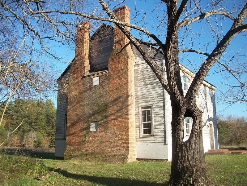
5. Samuel Cox's home of Rich Hill, which is located 1.4 miles north on Bel Alton Newtown Road
Credits. This page was last revised on January 18, 2025. It was originally submitted on January 23, 2019. This page has been viewed 2,046 times since then and 107 times this year. Photos: 1. submitted on January 10, 2025, by Rico Ramirez of Prince Frederick, Maryland. 2. submitted on January 23, 2019. 3. submitted on January 23, 2019, by David Lassman of Waldorf, Maryland. 4, 5. submitted on January 23, 2019. • Bernard Fisher was the editor who published this page.
