Port Tobacco in Charles County, Maryland — The American Northeast (Mid-Atlantic)
The Tension of Liberty
Inscription.
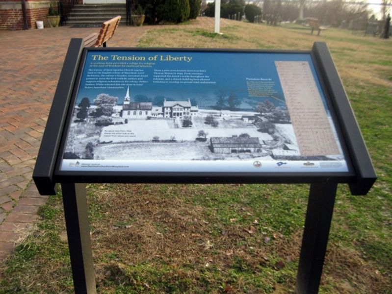
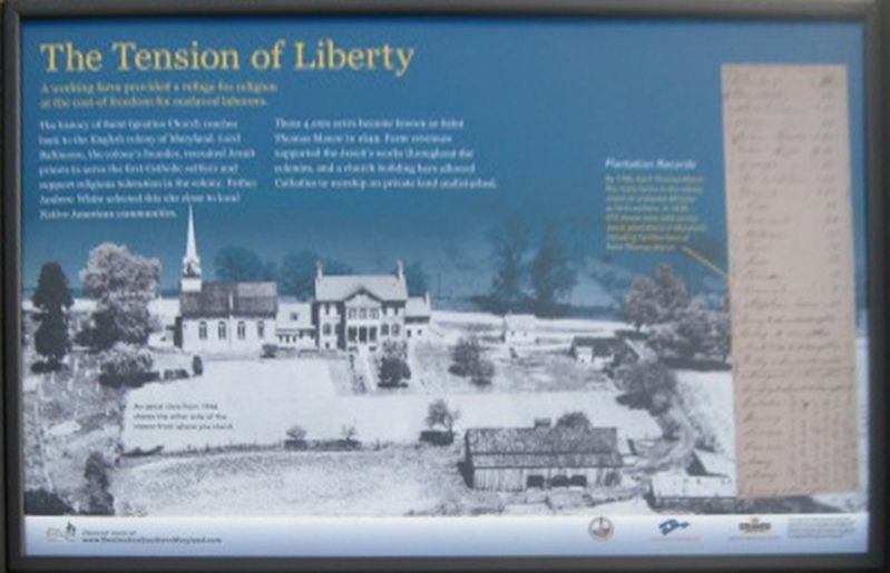
A working farm provided a refuge for religion at the cost of freedom for enslaved laborers.
The history of Saint Ignatius Church reaches back to the English colony of Maryland. Lord Baltimore, the colony's founder, recruited Jesuit priests to serve the first Catholic settlers and support religious toleration in the colony. Father Andrew White selected this site close to local Native American communities.
These 4,000 acres became known as Saint Thomas Manor in 1649. Farm revenues supported the Jesuit's works throughout the colonies, and a church building here allowed Catholics to worship on private land undisturbed.
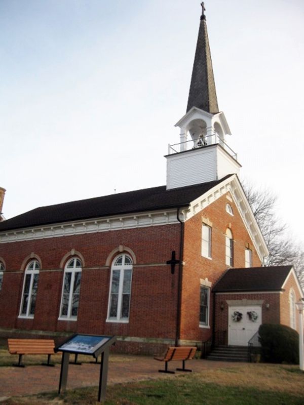
(Image of the church.)
An aerial view from 1944 shows the other side of the manor from where you stand.
(Image of document.)
Plantation Records
By 1700, Saint Thomas Manor, like many farms in the colony, relied on enslaved Africans as farm workers. In 1830, 272 slaves were sold across Jesuit plantation in Maryland, including families here at Saint Thomas Manor.
(Logo for Southern Maryland Heritage Area Consortium)
Discover more at www.DestinationSouthernMaryland.com
(Logos for St. Ingatius Church, Maryland Byways, Maryland Heritage Areas Authority)
This project has been financed in part with state funds from the Maryland Heritage Areas Authority, an instrumentality of the State of Maryland. However, the contents and opinions do not necessarily reflect views or policies of the Maryland Heritage Areas Authority.
Erected 2018 by St. Ingatius Church, Maryland Byways, Maryland Heritage Areas Authority.
Topics. This historical marker is listed in these topic lists: African Americans • Agriculture • Churches & Religion • Colonial Era. A significant historical year for this entry is 1649.
Location. 38° 27.933′ N, 77° 1.433′ W. Marker is in Port Tobacco, Maryland, in Charles County. Marker is on Chapel Point Road, half a mile west of Aries Road, on the left when traveling west. Touch for map. Marker is at or near this postal address: 8855 Chapel Point Rd, Port Tobacco MD 20677, United States of America. Touch for directions.
Other nearby markers. At least 8 other markers are within 2 miles of this marker, measured as the crow flies. Saint Ignatius' Church (a few steps from this marker); Rise from the Ashes (within shouting distance of this marker); St. Ignatius Catholic Church (within shouting distance of this marker); Saint Thomas Manor (within shouting distance of this marker); Ways to Explore Southern Maryland’s Scenic and Historic Routes (within shouting distance of this marker); Chapel Point Park (approx. 0.2 miles away);
Mulberry Grove (approx. 1.9 miles away); John Hanson (approx. 1.9 miles away). Touch for a list and map of all markers in Port Tobacco.
Also see . . .
1. St. Ignatius Church History. Church website entry (Submitted on January 25, 2019.)
2. St. Thomas Manor. Maryland's National Register Properties website entry (Submitted on January 25, 2019.)
3. Chapel Point State Park. Maryland Inventory of Historic Properties website entry (Submitted on January 25, 2019.)
4. Religious Freedom Byway. Visit Maryland website entry (Submitted on January 25, 2019.)
Credits. This page was last revised on February 20, 2022. It was originally submitted on January 25, 2019. This page has been viewed 207 times since then and 16 times this year. Photos: 1, 2, 3. submitted on January 25, 2019. • Bill Pfingsten was the editor who published this page.


