Nanjemoy in Charles County, Maryland — The American Northeast (Mid-Atlantic)
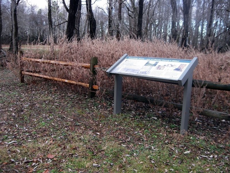
Friendship House...one of Charles County's Oldest
Inscription.
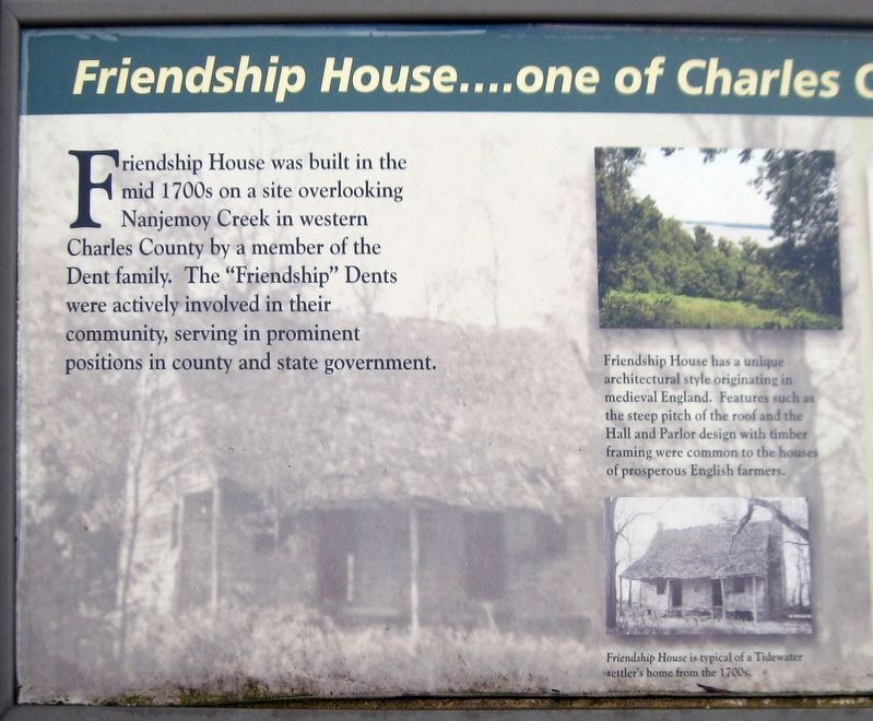
Friendship House was built in the mid 1700s on a site overlooking Nanjemoy Creek in western Charles County by a member of the Dent family. The "Friendship" Dents were actively involved in their community, serving in prominent positions in county and state government.
Friendship House has a unique architectural style originating in medieval England. Features such as a steep pitch of the roof and the Hall and Parlor design with timber framing were common to the houses of prosperous English farmers.
Friendship House is typical of a Tidewater settler's house from the 1700s.
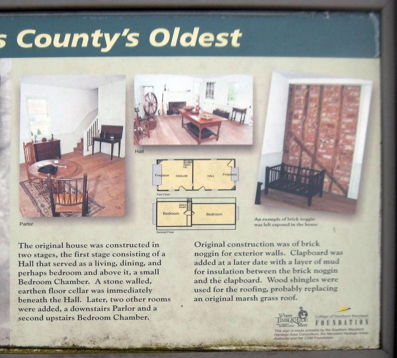
(Image of an interior wall.
An example of brick noggin was left exposed in the house.
The original house was constructed in two stages, the first stage consisting of a Hall that served as a living, dining, and perhaps bedroom and above it, a small Bedroom Chamber. A stone walled, earthen floor cellar was immediately beneath the Hall. Later, two other rooms were added, a downstairs Parlor and a second upstairs Bedroom Chamber.
Original construction was brick noggin for exterior walls. Clapboard was added at a later date with a layer of mud for insulation between the brick noggin and the clapboard. Wood shingles were used for the roofing, probably replacing an original marsh grass roof.
(Logos for the Southern Maryland Heritage Area Consortium and the College of Southern Maryland Foundation.)
This sign is made possible by the Southern Maryland Heritage Area Consortium, the Maryland Heritage Authority and the CSM Foundation.
Erected by Southern Maryland Heritage Area Consortium, the Maryland Heritage Authority and the College of Southern Maryland Foundation.
Topics. This historical marker is listed in these topic lists: Colonial Era • Settlements & Settlers.
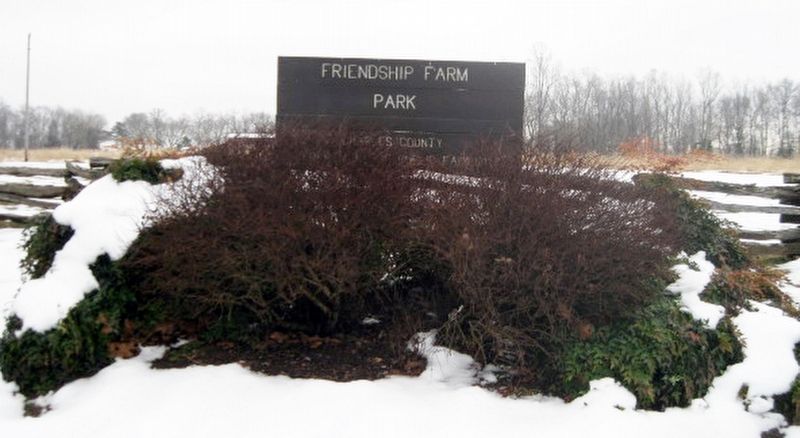
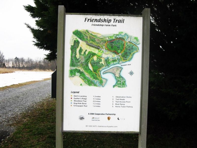
Location. 38° 27.383′ N, 77° 9.067′ W. Marker is in Nanjemoy, Maryland, in Charles County. Marker can be reached from Friendship Landing Road, 1.3 miles Ironsides Rd (County Route 425). Follow Friendship Landing Road for 1.3 miles. After entering Friendship Farm Park, go to the Dent's Landing Trailhead. Follow the trail for about 100 feet to reach marker. Touch for map. Marker is at or near this postal address: 4705 Friendship Landing Road, Nanjemoy MD 20662, United States of America. Touch for directions.
Other nearby markers. At least 8 other markers are within 6 miles of this marker, measured as the crow flies. Bald Eagle (approx. 0.4 miles away); Durham Parish (approx. 2.3 miles away); "Efton Hills" (approx. 3 miles away); Nanjemoy Baptist Church (approx. 3.1 miles away); Washington's Farm (approx. 3.6 miles away);
General Daniel E. Sickles, U.S.A. (approx. 4.7 miles away); "Brentland" (approx. 5.1 miles away); Memories of Douglas Point (approx. 5.7 miles away). Touch for a list and map of all markers in Nanjemoy.
Also see . . .
1. Friendship House. Historical Society of Charles County website entry (Submitted on January 20, 2024, by Larry Gertner of New York, New York.)
2. Friendship Farm Park/Friendship Landing. Charles County Government website entry (Submitted on January 29, 2019.)
Credits. This page was last revised on January 20, 2024. It was originally submitted on January 28, 2019. This page has been viewed 437 times since then and 49 times this year. Last updated on January 29, 2019. Photos: 1, 2, 3, 4, 5, 6. submitted on January 28, 2019. • Andrew Ruppenstein was the editor who published this page.

