Battle in East Sussex, England, United Kingdom — Northwestern Europe (the British Isles)
Rebuilding the Abbey Church
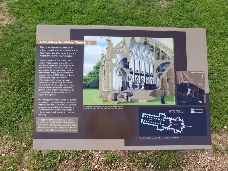
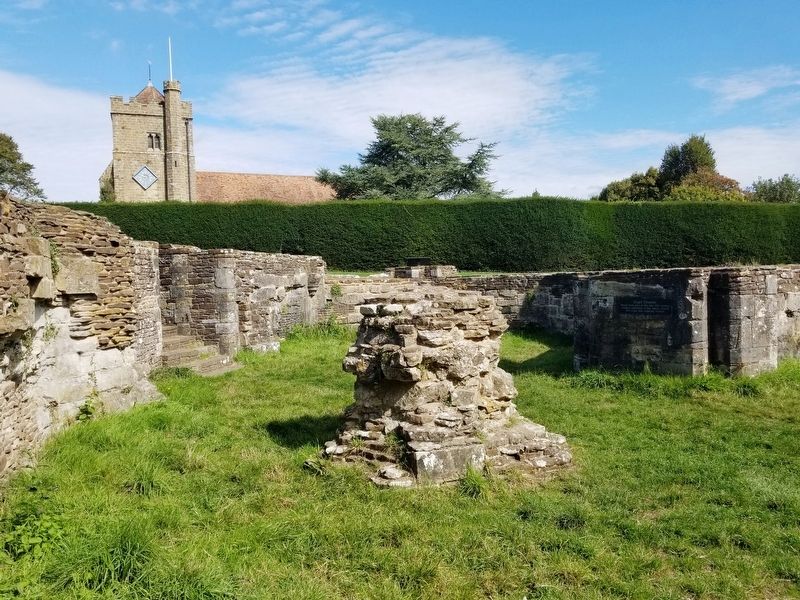
The most ambitious part of the 13th-century modernisation of the abbey was the reconstruction and enlargement of the east end of the abbey church. The plan was inspired by the new abbey church at Westminster, largely rebuilt by Henry III between 1245 and 1272. Abbots of Battle attending the king's court next to Westminster Abbey would have seen and admired it. By adopting the plan and extending the new seven-bay choir to the east, the Battle monks gave themselves a spacious setting of some magnificence with a grand chevet of five radiating chapels beyond the high altar.
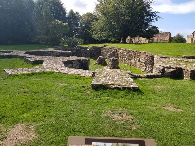
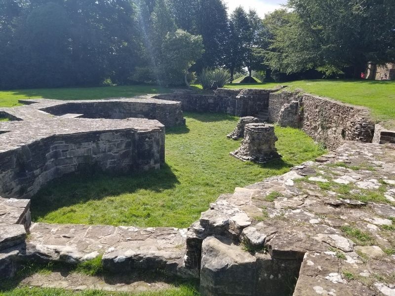
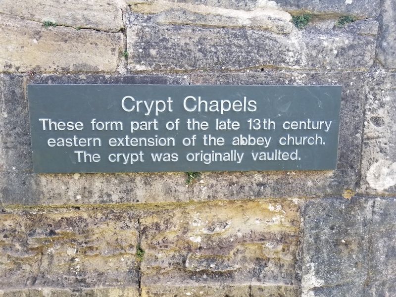
The sloping ground here enabled the builders to include a crypt with a further five chapels under the east end. This more than doubled the number of available altars, important to a community with an increasing number of ordained monks, each needing to celebrate mass daily.
The crypt was partly excavated and conserved in 1817 by Sir Godfrey Webster. More systematic archaeological exploration took place in the 1930s, following a fire in the west range, and in the late 1970s when the abbey was acquired for the nation.
( photo captions )
- A cutaway reconstruction of the east end of the abbey showing the crypt with the choir and high altar above.
- Plan of the abbey church before and after its extension.
Topics. This historical marker is listed in these topic lists: Churches & Religion • Notable Events. A significant historical year for this entry is 1245.
Location. 50° 54.878′ N, 0° 29.298′ E. Marker is in Battle, England, in East Sussex. Marker can be reached from the intersection of High Street and Park Lane, on the right when traveling south. Located next to Battle Abbey along the battlefield path at the Battle of Hastings Battlefield. Touch for map. Marker is in this post office area: Battle, England TN33 0AD, United Kingdom. Touch for directions.
Other nearby markers. At least 8 other markers are within walking distance of this marker. The High Altar of Battle Abbey (within shouting distance of this marker); The 11th-century Church (within shouting distance of this marker); The East Range (within shouting distance of this marker); Dairy and Icehouse (within shouting distance of this marker); The Cloister (within shouting distance of this marker); The Chapter House (within shouting distance of this marker); The Dormitory (within shouting distance of this marker); Parlour (within shouting distance of this marker). Touch for a list and map of all markers in Battle.
Also see . . . English Heritage - 1066 Battle of Hastings, Abbey and Battlefield
. (Submitted on January 30, 2019, by Michael Herrick of Southbury, Connecticut.)
Credits. This page was last revised on January 27, 2022. It was originally submitted on January 30, 2019, by Michael Herrick of Southbury, Connecticut. This page has been viewed 210 times since then and 13 times this year. Photos: 1, 2, 3, 4, 5. submitted on January 30, 2019, by Michael Herrick of Southbury, Connecticut.
