Dade City in Pasco County, Florida — The American South (South Atlantic)
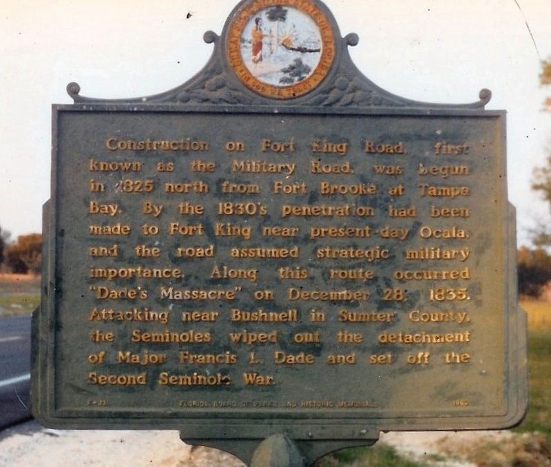
Fort King Road
Erected 1962 by Florida Board of Parks and Historic Memorials. (Marker Number F-71.)
Topics. This historical marker is listed in these topic lists: Roads & Vehicles • Wars, US Indian. A significant historical date for this entry is December 28, 1835.
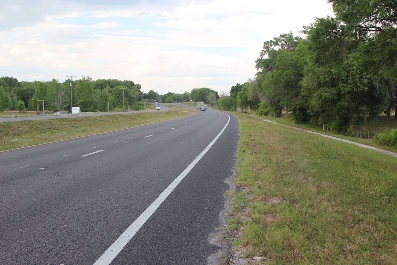
Location. Marker is missing. It was located near 28° 24.349′ N, 82° 11.645′ W. Marker was in Dade City, Florida, in Pasco County. Marker was at the intersection of U.S. 98/301 and Bluegrass Road, on the right when traveling north on U.S. 98/301. Touch for map. Marker was in this post office area: Dade City FL 33523, United States of America. Touch for directions.
Other nearby markers. At least 8 other markers are within 3 miles of this location, measured as the crow flies. William M. and Emily Larkin (approx. 1˝ miles away); Whitehouse (approx. 2.3 miles away); Dade City Grammar School (approx. 2.6 miles away); Saint Paul Missionary Baptist Church (approx. 2.6 miles away); Dade City Cemetery (approx. 2.6 miles away); Site of World War II Prisoner of War Camp (approx. 2.6 miles away); Jones' Nursing Home (approx. 2.6 miles away); Mount Zion African Methodist Episcopal Church (approx. 2.6 miles away). Touch for a list and map of all markers in Dade City.
More about this marker. This was one of two Florida state markers that did not have a title. It was listed in state records as Fort King Road.
Marker disappeared between 1988 when I took the picture and 1991 when I drove by to check its status. FDOT admitted they picked it up and destroyed it because it was leaning!!
Credits. This page was last revised on March 30, 2020. It was originally submitted on January 30, 2019, by Tim Fillmon of Webster, Florida. This page has been viewed 353 times since then and 50 times this year. Photos: 1. submitted on January 30, 2019, by Tim Fillmon of Webster, Florida. 2. submitted on March 27, 2020, by Tim Fillmon of Webster, Florida. • Bernard Fisher was the editor who published this page.

