Emigrant Gap in Placer County, California — The American West (Pacific Coastal)
Emigrant Gap
Inscription.
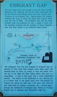
The first wagon train ever brought across the Sierra Nevada Mountains into California was lead by Caleb Greenwood. He led the Steven-Town (sic, Townsend) - Murphy party and came through what is known as the Emigrant Trail. Approximately fifty wagons followed this route in 1845, and about 500 wagons rolled over the trail in 1846. The Emigrant Trail was the main overland route into California for only a couple of years, but the hardships endured and the fortitude of these emigrants have long been written in our California history books.
The emigrants from the east stopped at Emigrant gap for periods of time while their wagons were taken apart and lowered piece by piece, by means of rope and tackle, from the top of the ridge into Bear Valley, where they were reassembled. It was at this point that a small settlement formed. The history of the settlement is very sketchy, but it is known that in the great push from Sacramento to Virginia City during the gold rush a few years later, this trail was well-used by wagons, horsemen, etc., coming again through the settlement of Emigrant Gap, thence to Truckee, Virginia City, or wherever their destination might be.
Topics and series. This historical marker is listed in these topic lists: Roads & Vehicles • Settlements & Settlers . In addition, it is included in the Donner Summit Historical Society, and the Truckee Trail series lists.
Location. 39° 17.524′ N, 120° 40.713′ W. Marker is in Emigrant Gap, California, in Placer County. Marker is on Nyack Road near Interstate 80, on the left when traveling north. Touch for map. Marker is at or near this postal address: 42180 Nyack Road, Emigrant Gap CA 95715, United States of America. Touch for directions.
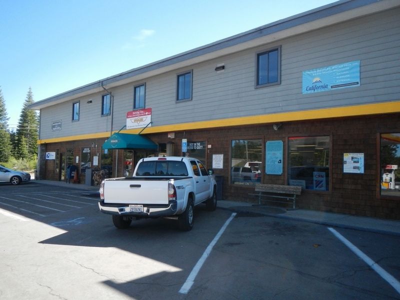
Other nearby markers. At least 8 other markers are within 7 miles of this marker, measured as the crow flies. Nyack Lodge (a few steps from this marker); a different marker also named Emigrant Gap (approx. 0.6 miles away); Nevada City Road - Washington Ridge Summit (approx. 4.2 miles away); Alpha and Omega (approx. 4.3 miles away); Ormonde (approx. 6 miles away); Truckee Trail - Ascent to Lake and Valley (approx. 6.4 miles away); Nevada City Road - Opposite Washington Diggings (approx. 6.4 miles away); Meadow Lake (approx. 6.6 miles away).
Credits. This page was last revised on February 2, 2019. It was originally submitted on February 2, 2019, by Barry Swackhamer of Brentwood, California. This page has been viewed 414 times since then and 44 times this year. Photos: 1, 2. submitted on February 2, 2019, by Barry Swackhamer of Brentwood, California.

