Wallula in Walla Walla County, Washington — The American West (Northwest)
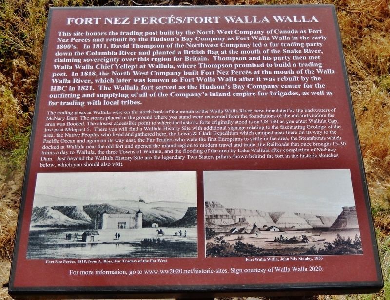
Fort Nez Percés / Fort Walla Walla
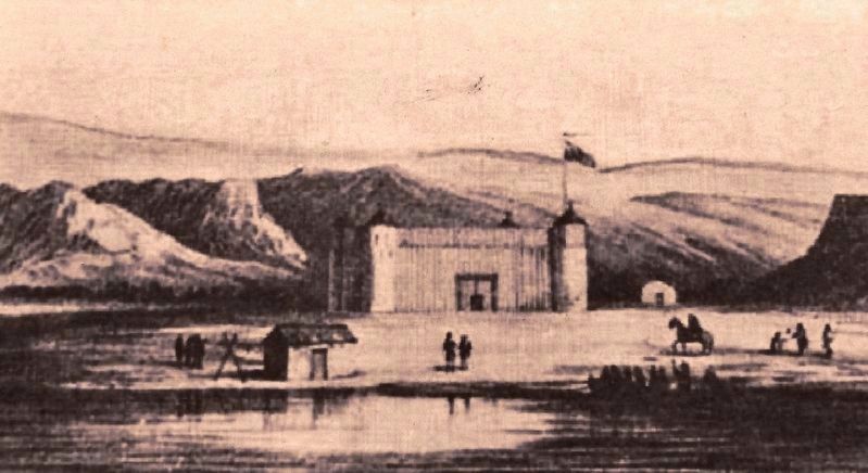
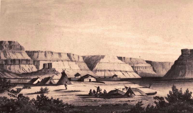
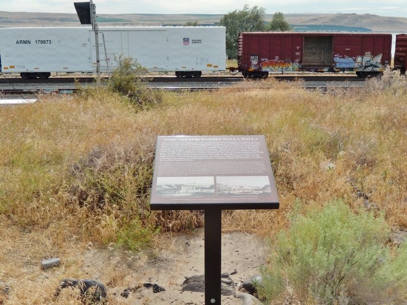
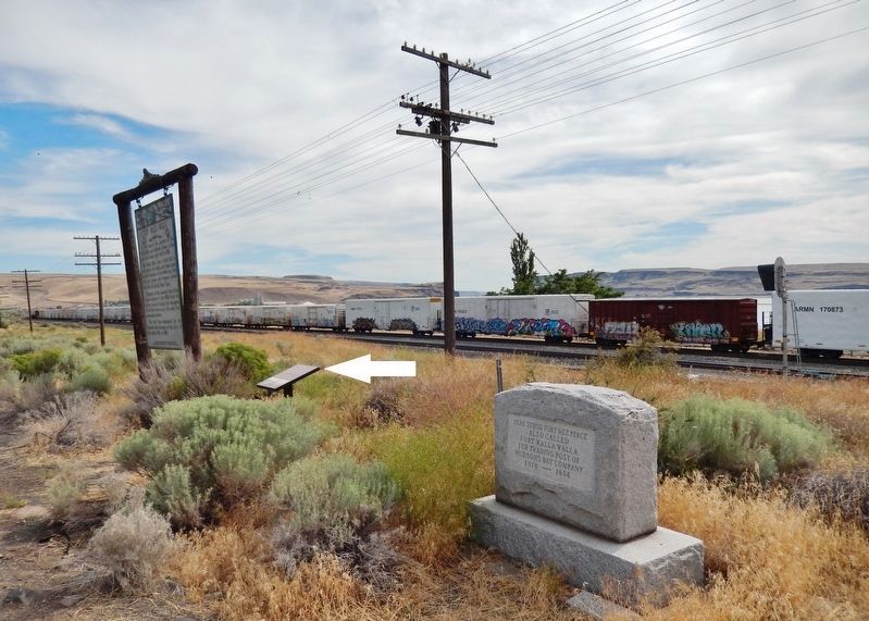
The trading posts at Wallula were on the north bank of the mouth of the Walla Walla River, now inundated by the backwaters of McNary Dam. The stones placed in the ground where you stand were recovered from the foundations of the old forts before the area was flooded. The closest accessible point to where the historic forts originally stood is on US 730 as you enter Wallula Gap, just past Milepost 5. There you will find a Wallula History Site with additional signage relating to the fascinating Geology of the area, the Native Peoples who lived and gathered here, the Lewis & Clark Expedition which camped near there on its way to the Pacific Ocean and again on its way east, the Fur Traders who were the first Europeans to settle in the area, the Steamboats which docked at Wallula near the old fort and opened the inland region to modern travel and trade, the Railroads that once brought 15-30 trains a day to Wallula, the three Towns of Wallula, and the flooding of the area by Lake Wallula after completion of McNary Dam. Just beyond the Wallula History Site are the legendary Two Sisters pillars shown behind the fort in the historic sketches below, which you should also visit.
Erected by Walla Walla 2020.
Topics. This historical marker is listed in these topic lists: Exploration • Forts and Castles • Native Americans • Settlements & Settlers. A significant historical year for this entry is 1818.
Location. 46° 5.067′ N, 118° 54.576′ W. Marker is in Wallula, Washington, in Walla Walla County. Marker is on U.S. 12, ¼ mile north of Columbia Way, on the left when traveling north. Marker is located in a pull-out on the west side of the highway, overlooking the Columbia River. Touch for map. Marker is in this post office area: Wallula WA 99363, United States of America. Touch for directions.
Other nearby markers. At least 7 other markers are within 11 miles of this marker, measured as the crow flies. Here Stood Fort Nez Perce (here, next to this marker); Fort Walla Walla (a few steps from this marker); The History of Wallula (approx. 2.4 miles away); a different marker also named The History of Wallula (approx. 2.4 miles away); Lewis and Clark Trail (approx. 10.3 miles away); Ainsworth (approx. 10.8 miles away); Sacagawea (approx. 10.8 miles away).
More about this marker. Marker is a framed composite plaque, mounted horizontally on a waist-high metal post.
Also see . . .
1. Fort Nez Percés. Constructed on the east bank of the Columbia River, Fort Nez Percés was half a mile north of the mouth of the Walla Walla River and a few miles below the mouth of the Snake River. The location was chosen for its strategic geographic value. The nearby Walla Walla Valley had long been an important rendezvous point for parties working several peripheral fur districts. Essentially all company exports and supplies passed through the Columbia Gorge. The location of Fort Nez Percés at the eastern end of this trunk line to the ocean made it the most important post in the interior. In addition, increasing tensions from occupying the homelands of the local Native Americans necessitated a permanent fortified post. Finally, the area was significant to the Indians. Not only was it a major meeting and trading ground, but it was where Lewis and Clark had first met the indigenous peoples of the Columbia River and had made an informal treaty of friendship. (Submitted on February 3, 2019, by Cosmos Mariner of Cape Canaveral, Florida.)
2. North West Company builds Fort Nez Percés on future site of Wallula in 1818. Donald McKenzie supervised the erection of a palisade of planks, 20 feet high and six inches thick. Bastions at each corner housed cannon and 200 gallons of water apiece in the event of siege. The establishment was dubbed The Gibraltar of the Columbia. Alexander Ross was the first factor for the post. The post was abandoned during the Indian War of 1855-1856. The site became the town of Wallula. (Submitted on February 3, 2019, by Cosmos Mariner of Cape Canaveral, Florida.)
3. Fort Nez Percés. This drawing of fur trading at Fort Nez Perce (also known as Fort Walla Walla) was drawn by Joseph Drayton, one of several artists hired for a United States naval expedition led by Lieutenant Charles Wilkes from 1838 to 1842. The drawing depicts Archibald Mckinley,
chief trader for the Hudson’s Bay Company at Fort Nez Perce, inspecting pelts for trade presented by Indian women.
The wooden fort depicted in this drawing was destroyed by fire in 1841. The fort was rebuilt primarily of adobe and continued to be a productive post until it was destroyed by fire again in 1855 amidst a war between Americans and several of the Indian bands of the mid-Columbia region. (Submitted on February 3, 2019, by Cosmos Mariner of Cape Canaveral, Florida.)
4. Walla Walla 2020 Historic Research Hub. (Submitted on February 3, 2019, by Cosmos Mariner of Cape Canaveral, Florida.)
Credits. This page was last revised on February 4, 2019. It was originally submitted on February 2, 2019, by Cosmos Mariner of Cape Canaveral, Florida. This page has been viewed 579 times since then and 65 times this year. Photos: 1, 2, 3, 4, 5. submitted on February 3, 2019, by Cosmos Mariner of Cape Canaveral, Florida. • Andrew Ruppenstein was the editor who published this page.
