Canterbury in Kent, England, United Kingdom — Northwestern Europe (the British Isles)
Wincheap Gate
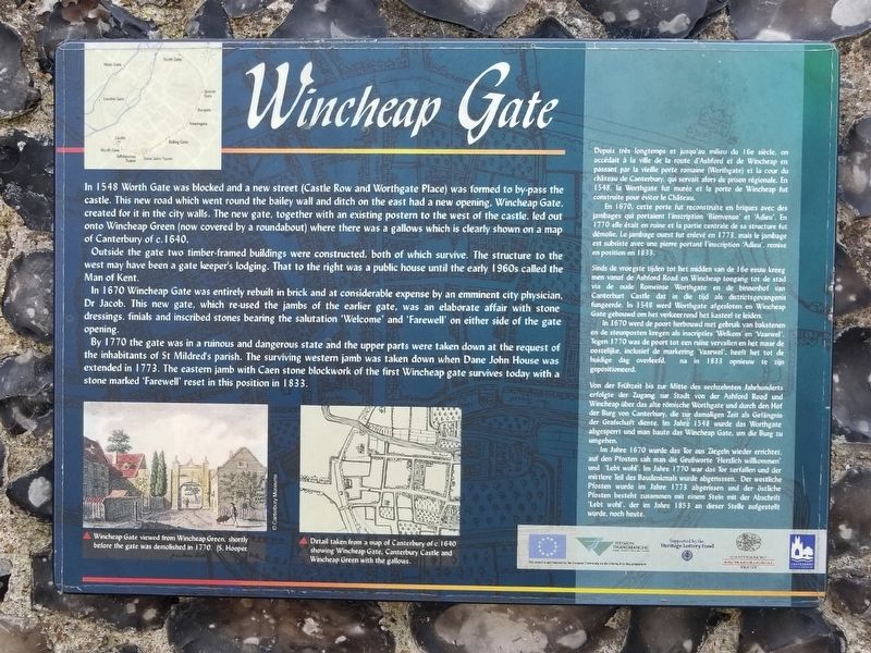
In 1548 Worth Gate was blocked and a new street (Castle Row and Worthgate Place) was formed to by-pass the castle. This new road which went round the bailey wall and ditch on the east had a new opening, Wincheap Gate, created for it in the city walls. The new gate, together with an existing postern to the west of the castle, led out onto Wincheap Green (now covered by a roundabout) where there was a gallows which is clearly shown on a map of Canterbury of c. 1640.
Outside the gate two timber-framed buildings were constructed, both of which survive. The structure to the west may have been a gate keeper's lodging. That to the right was a public house until the early 1960s called the Man of Kent.
In 1670 Wincheap Gate was entirely rebuilt in brick and at considerable expense by an emminent city physician, Dr Jacob. This new gate, which re-used the jambs of the earlier gate, was an elaborate affair with stone dressings. finials and inscribed stones bearing the salutation 'Welcome' and 'Farewell' on either side of the gate opening.
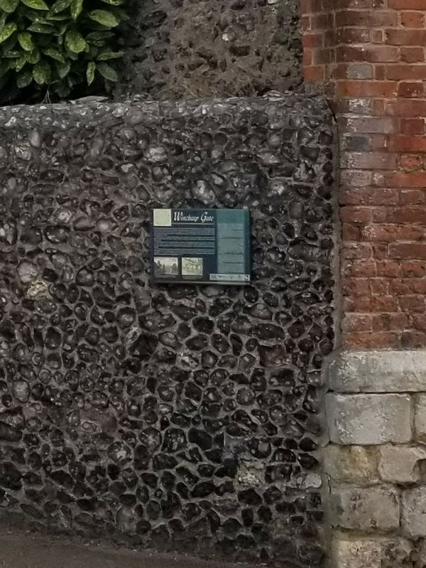
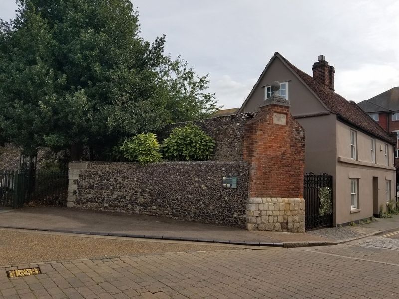
By 1770 the gate was in a ruinous and dangerous state and the upper parts were taken down at the request of the inhabitants of St Mildred's parish. The surviving western jamb was taken down when Dane John House was extended in 1773. The eastern jamb with Caen stone blockwork of the first Wincheap gate survives today with a stone marked 'Farewell’ reset in this position in 1833.
Topics. This historical marker is listed in these topic lists: Parks & Recreational Areas • Roads & Vehicles. A significant historical year for this entry is 1548.
Location. 51° 16.504′ N, 1° 4.547′ E. Marker is in Canterbury, England, in Kent. Marker is on Pin Hill close to Castle Row, on the right when traveling west. Located at the entrance to Dane John Gardens. Touch for map. Marker is in this post office area: Canterbury, England CT1 2SY, United Kingdom. Touch for directions.
Other nearby markers. At least 8 other markers are within walking distance of this marker. Dr. Frank Wagher Fountain (within shouting distance of this marker); The Simmons Memorial (about 150 meters away, measured in a direct line); Royal East Kent Imperial Yeomanry Boer War Memorial (about 210 meters away); Royal East Kent Yeomanry Memorial (approx. half a kilometer away); High Street Bridge (approx. 0.6 kilometers away); James Simmons (approx. 0.6 kilometers away); Canterbury War Memorial (approx. 0.6 kilometers away); Christopher Marlowe (approx. 0.6 kilometers away). Touch for a list and map of all markers in Canterbury.
Credits. This page was last revised on January 27, 2022. It was originally submitted on February 5, 2019, by Michael Herrick of Southbury, Connecticut. This page has been viewed 200 times since then and 14 times this year. Photos: 1, 2, 3. submitted on February 5, 2019, by Michael Herrick of Southbury, Connecticut.


