Urban Core in Jacksonville in Duval County, Florida — The American South (South Atlantic)
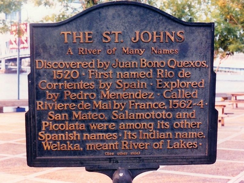
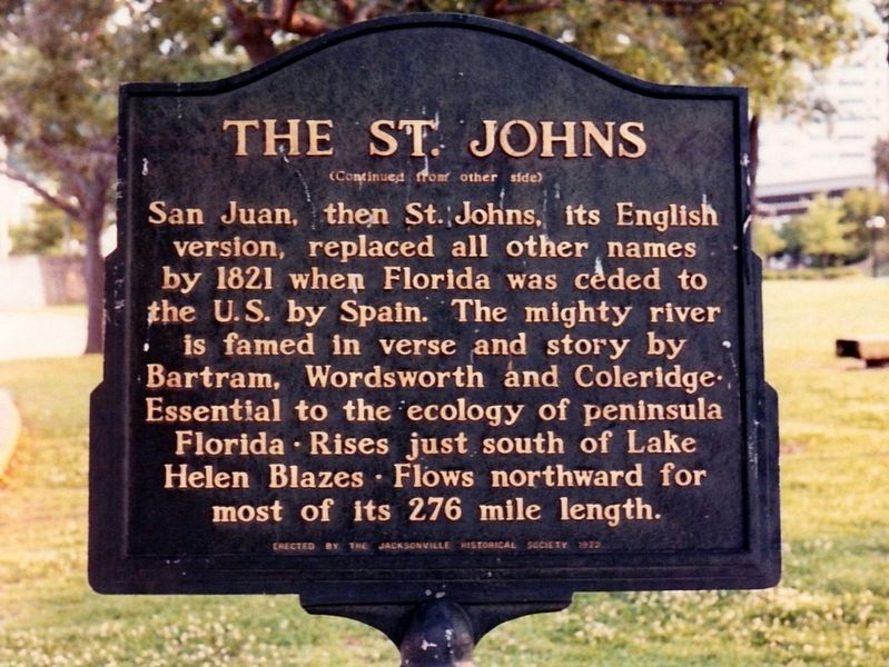
The St. Johns
A River of Many Names
Discovered by Juan Bono Quexos, 1520 • First named Rio de Corrientes by Spain • Explored by Pedro Menendez • Called Riviere de Mai by France, 1562-4 • San Mateo, Salamototo and Picolata were among its other Spanish names • Its Indian name, Welaka, meant River of Lakes •
Erected 1972 by Jacksonville Historical Society.
Topics. This historical marker is listed in these topic lists: Exploration • Waterways & Vessels. A significant historical year for this entry is 1520.
Location. Marker has been reported missing. It was located near 30° 19.203′ N, 81° 39.617′ W. Marker was in Jacksonville, Florida, in Duval County. It was in Urban Core. Marker could be reached from Museum Circle just west of South Main Street (U.S. 1) , on the right when traveling west. Marker was located in Friendship Park near the fountain. Touch for map. Marker was at or near this postal address: 1015 Museum Circle, Jacksonville FL 32207, United States of America. Touch for directions.
Other nearby markers. At least 8 other markers are within walking distance of this location. Historic King's Road British East Florida (a few steps from this marker); Soldiers of the American Revolution Associated with Jacksonville’s History (approx. 0.2 miles away); Jessie Ball DuPont Park (approx. ¼ mile away); Sinking of the Maple Leaf (approx. 0.3 miles away); Andrew Jackson (approx. 0.4 miles away); The Beginning (approx. half a mile away); Jacksonville National Bank - 1902 (approx. half a mile away); Duval County (approx. half a mile away). Touch for a list and map of all markers in Jacksonville.
Credits. This page was last revised on February 3, 2023. It was originally submitted on February 7, 2019, by Tim Fillmon of Webster, Florida. This page has been viewed 189 times since then and 13 times this year. Photos: 1, 2. submitted on February 7, 2019, by Tim Fillmon of Webster, Florida. • Bernard Fisher was the editor who published this page.

