Near Breckenridge in Stephens County, Texas — The American South (West South Central)
Half-Way Oak
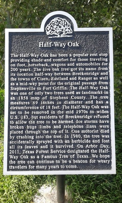
Photographed by Kayla Harper, February 3, 2019
1. Half-Way Oak Marker
Topics. This historical marker is listed in these topic lists: Environment • Horticulture & Forestry.
Location. 32° 33.796′ N, 98° 53.582′ W. Marker is near Breckenridge, Texas, in Stephens County. It can be reached from U.S. 183 near County Road 160, on the right when traveling north. At a rest stop on the side of the highway. Touch for map. Marker is in this post office area: Breckenridge TX 76424, United States of America. Touch for directions.

Regionally, this marker is in Big Country. Globally, it is in North America, a Gulf of Mexico state, the Western Hemisphere, the Western World, and the Anglosphere. Historically, it finds itself in what was once New Spain,
this page online
Other nearby markers. At least 8 other markers are within 12 miles of this marker, measured as the crow flies: Gunsight Community (approx. 1.9 miles away); Wayland School (approx. 4.9 miles away); Parks Camp (approx. 7 miles away); Mount Zion Cemetery (approx. 11.1 miles away); Last Mob Lynching in the State of Texas (approx. 11.9 miles away); The Townsend Bell (approx. 11.9 miles away); Connellee - Majestic Theatre (approx. 11.9 miles away); Old Rip (approx. 11.9 miles away).
Also see . . . Half-Way Oak. Famous Trees of Texas (Submitted on February 8, 2019.)
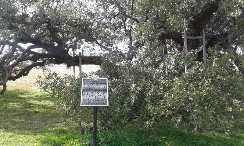
Photographed by Kayla Harper, February 3, 2019
2. Half-Way Oak Marker
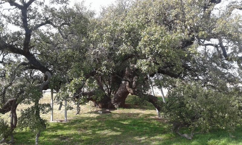
Photographed by Kayla Harper, February 3, 2019
3. Half-Way Oak Marker
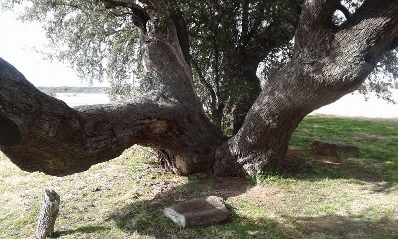
Photographed by Kayla Harper, February 3, 2019
4. Half-Way Oak Marker
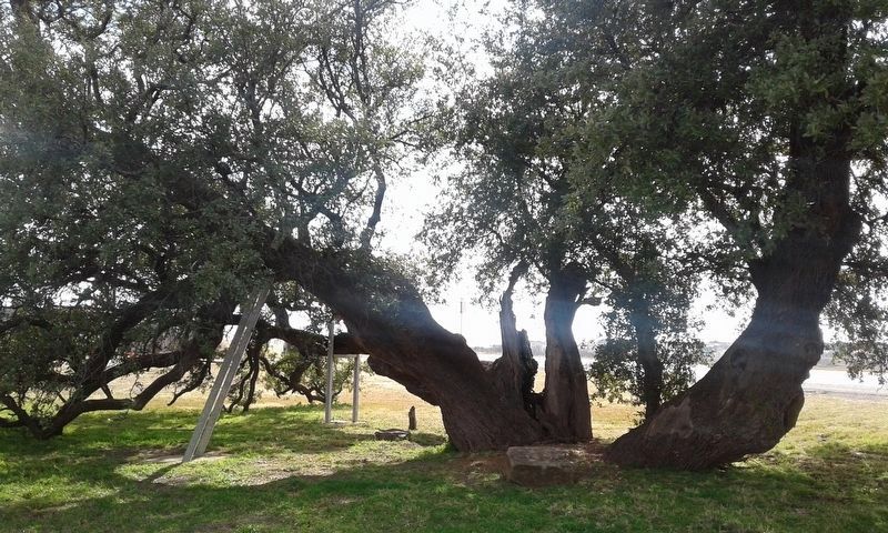
Photographed by Kayla Harper, February 3, 2019
5. Half-Way Oak Marker
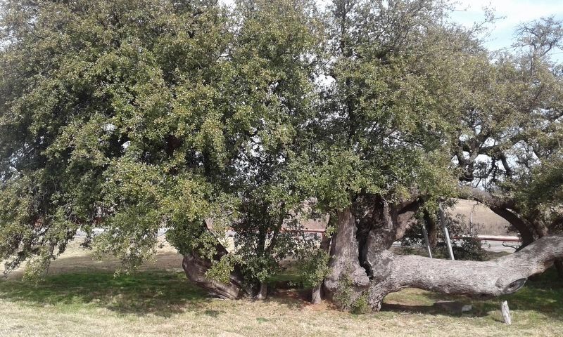
Photographed by Kayla Harper, February 3, 2019
6. Half-Way Oak Marker
Credits. This page was last revised on February 8, 2019. It was originally submitted on February 7, 2019, by Kayla Harper of Dallas, Texas. This page has been viewed 525 times since then and 41 times this year. Photos: 1, 2, 3, 4, 5, 6. submitted on February 7, 2019, by Kayla Harper of Dallas, Texas. • Bernard Fisher was the editor who published this page.
