Near Myersville in Washington County, Maryland — The American Northeast (Mid-Atlantic)
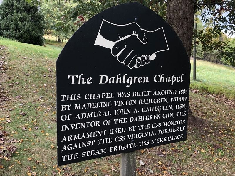
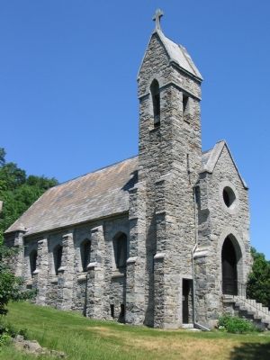
The Dahlgren Chapel
Topics. This historical marker is listed in these topic lists: Churches & Religion • War, US Civil • Women. A significant historical year for this entry is 1881.
Location. 39° 29.04′ N, 77° 37.098′ W. Marker is near Myersville, Maryland, in Washington County. Marker is at the intersection of Historic National Road (Alternate U.S. 40) and Dahlgren Road, on the right when traveling west on Historic National Road. Touch for map. Marker is at or near this postal address: 1514 Dahlgren Rd, Myersville MD 21773, United States of America. Touch for directions.
Other nearby markers. At least 8 other markers are within walking distance of this marker. South Mountain Summit (about 300 feet away, measured in a direct line); Turner's Pass Tablet T. P. 1 (about 400 feet away); Turner's Pass Tablet T. P. 2 (about 400 feet away); Turner's Pass Tablet T. P. 3 (about 400 feet away); Turner's Pass Tablet T. P. 4 (about 400 feet away); Turner's Pass Tablet T. P. 5 (about 400 feet away); Turner's Pass Tablet T. P. 6 (about 400 feet away); 19th Century Backpacker (about 500 feet away).
Credits. This page was last revised on October 6, 2021. It was originally submitted on June 24, 2007, by Craig Swain of Leesburg, Virginia. This page has been viewed 3,366 times since then and 16 times this year. Photos: 1. submitted on October 12, 2020, by Devry Becker Jones of Washington, District of Columbia. 2. submitted on June 24, 2007, by Craig Swain of Leesburg, Virginia. 3, 4. submitted on August 11, 2018, by Allen C. Browne of Silver Spring, Maryland. • J. J. Prats was the editor who published this page.


