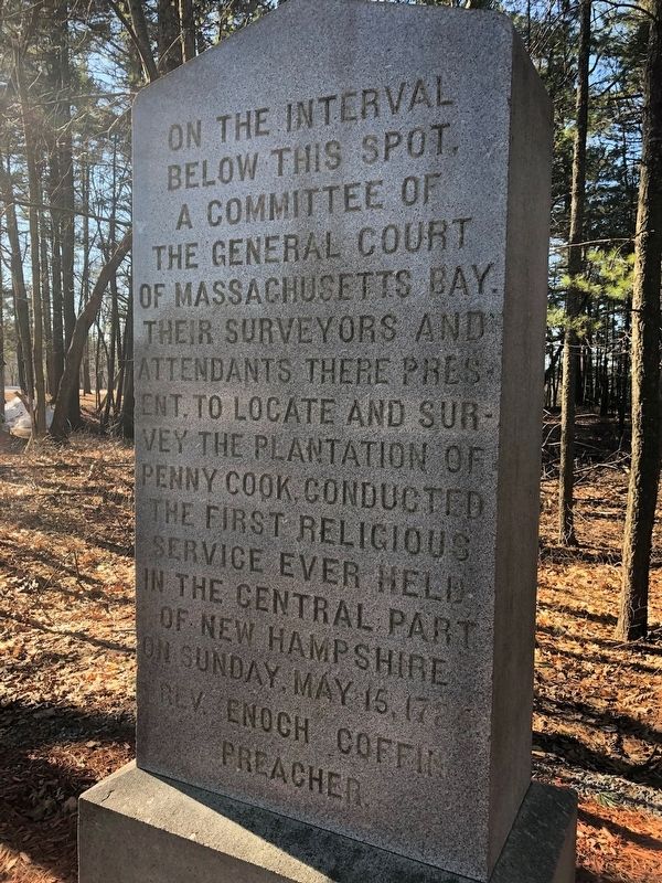
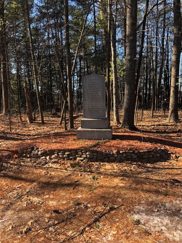
On The Interval Below This Spot
(Obverse Side) Erected by the Congregational Societies of Concord, October, 1899.
Erected 1899 by Congregational Societies of Concord.
Topics. This historical marker is listed in these topic lists: Churches & Religion • Colonial Era • Settlements & Settlers. A significant historical date for this entry is May 15, 1726.
Location. 43° 13.538′ N, 71° 30.492′ W. Marker is in Concord, New Hampshire, in Merrimack County. Marker is on East Side Drive (New Hampshire Route 132), on the right when traveling south. Approximately 100 feet south of West Sugar Ball Road. The marker sets back roughly 75 to 100 feet from the street.
The marker sits on a wooded plot approximately an acre in size which was originally known as Memorial park. The land is owned by First Congregational Church. Touch for map. Marker is in this post office area: Concord NH 03301, United States of America. Touch for directions.
Other nearby markers. At least 8 other markers are within 2 miles of this marker, measured as the crow flies. The Pennacook (approx. one mile away); Concord's Civil War Mustering Camps
Regarding On The Interval Below This Spot. The original inscription did not include Rev. Enoch Coffin, Preacher, but was added sometime later.
Footnote from the periodical The Granite Monthly: The last line, "Rev. Enoch Coffin, Preacher," has been cut upon the monument, in justice to the facts, since the photograph was taken for the half-tone illustration.
Thorne, John C. "Reverend Enoch Coffin." The Granite Monthly vol XXXII pp. 25.
Also see . . . The Granite Monthly - A NH Magazine. (Submitted on February 9, 2019, by Douglas Finney of Concord, New Hampshire, USA.)
Credits. This page was last revised on February 11, 2019. It was originally submitted on February 9, 2019, by Douglas Finney of Concord, New Hampshire, USA. This page has been viewed 185 times since then and 23 times this year. Photos: 1, 2. submitted on February 9, 2019, by Douglas Finney of Concord, New Hampshire, USA. • Andrew Ruppenstein was the editor who published this page.

