Douglass in Southeast Washington in Washington, District of Columbia — The American Northeast (Mid-Atlantic)
Escape Allée (1838)
Douglass Community Center
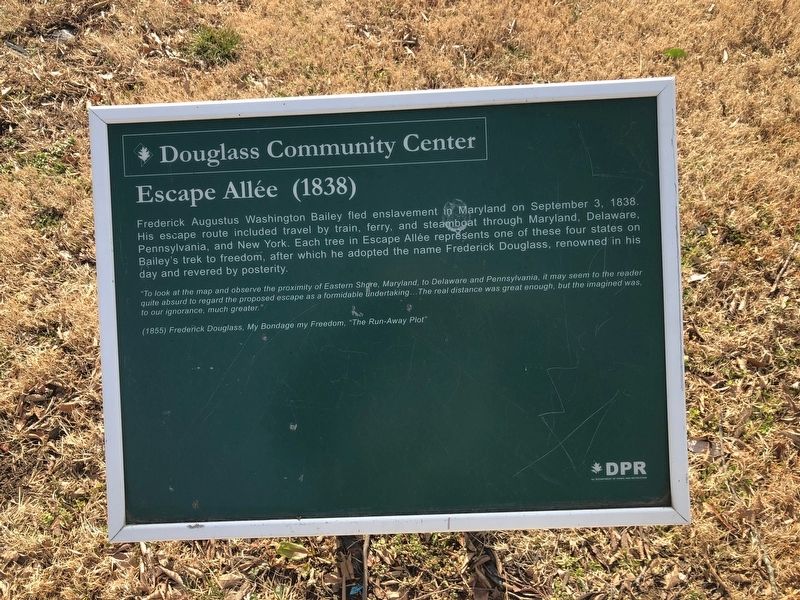
Frederick Augustus Washington Bailey fled enslavement in Maryland on September 3, 1838. His escape route included travel by train, ferry, and steamboat through Maryland, Delaware, Pennsylvania, and New York. Each tree in Escape Allée represents one of these four states on Bailey's trek to freedom, after which he adopted the name Frederick Douglass, renowned in his day and revered by posterity.
"Too look at the map and observe the proximity of Eastern Shore, Maryland, to Delaware and Pennsylvania, it may seem to the reader quite absurd to regard the proposed escape as a formidable undertaking...The real distance was great enough, but the imagined was, to our ignorance, much greater."
(1855) Frederick Douglass, My Bondage my Freedom, "The Run-Away Plot"
Erected by DC Department of Parks and Recreation (DPR).
Topics. This historical marker is listed in these topic lists: Abolition & Underground RR • African Americans. A significant historical date for this entry is September 3, 1838.
Location. 38° 51.14′ N, 76° 58.64′ W. Marker is in Southeast Washington in Washington, District of Columbia. It is in Douglass. It is on Frederick
this page online

Regionally, this marker is in the Washington Metropolitan Area. It is also in the American Northeast, in the Upper South, in the Mid-Atlantic, in the Tidewater, and in the Chesapeake Bay Region. Globally, it is in North America, the Western Hemisphere, the Western World, and the Anglosphere.
Other nearby markers. At least 8 other markers are within walking distance of this marker: Memorial Grove (1841-1895) (within shouting distance of this marker); Activist Grove (1833-1845) (about 300 feet away, measured in a direct line); Freedom Grove (1838) (about 400 feet away); A Museum Without Walls (approx. 0.3 miles away); Battery Ricketts (approx. 0.3 miles away); Welcome to the Demonstration Garden (approx. 0.3 miles away); The Litter Bell (approx. 0.3 miles away); The Anacostia River: Pride and Preservation (approx. 0.3 miles away).
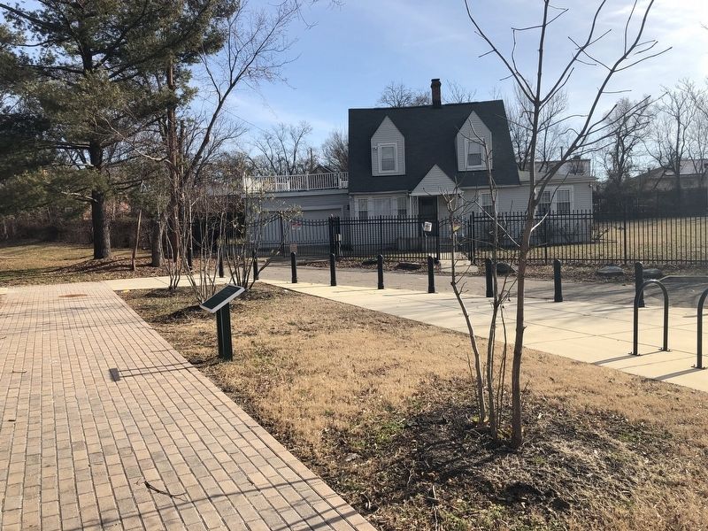
Another marker is no longer nearby. Thurgood Marshall (was approx. 0.3 miles away but has been permanently removed).
Credits. This page was last revised on January 30, 2023. It was originally submitted on February 10, 2019, by Devry Becker Jones of Washington, District of Columbia. This page has been viewed 317 times since then and 24 times this year. Photos: 1, 2. submitted on February 10, 2019, by Devry Becker Jones of Washington, District of Columbia. • Bill Pfingsten was the editor who published this page.
