Central Ward in Newark in Essex County, New Jersey — The American Northeast (Mid-Atlantic)
First Constitution of the Province of New Jersey
Inscription.
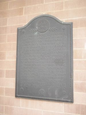
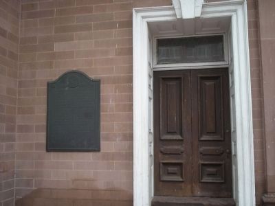
To commemorate the granting of the Concessions and Agreements, the first Constitution of the Province of New Jersey by Lord John Berkeley, Baron of Stratton, and Sir George Carteret, Knight and Baronet Lords Proprietor to the Settlers of their Province of Nova Caesarea or New Jersey on February 10, 1665, and to commemorate the commissioning of Philip Carteret as governor of the province on the same date, this tablet is erected on the two hundred and seventy-fifth anniversary by the Society of Colonial Wars in the State of New Jersey. ------ 1940
Erected 1940 by Society of Colonial Wars in the State of New Jersey.
Topics. This historical marker is listed in this topic list: Colonial Era. A significant historical month for this entry is February 1914.
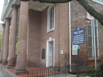
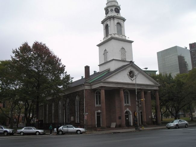
Location. 40° 44.423′ N, 74° 10.156′ W. Marker is in Newark, New Jersey, in Essex County. It is in the Central Ward. Marker is at the intersection of Broad Street and Rector Street, on the left when traveling south on Broad Street. Touch for map. Marker is in this post office area: Newark NJ 07104, United States of America. Touch for directions.
Other nearby markers. At least 8 other markers are within walking distance of this marker. Washington Passed Beneath this Tower (here, next to this marker); Historic Site (here, next to this marker); Trinity Church (here, next to this marker); Griffith Piano Company (a few steps from this marker); Training Place (about 300 feet away, measured in a direct line); Philip Kearny (about 400 feet away); Historic Plane Tree (about 400 feet away); The Wars of America (about 600 feet away). Touch for a list and map of all markers in Newark.
Credits. This page was last revised on February 16, 2023. It was originally submitted on October 25, 2008, by Bill Coughlin of Woodland Park, New Jersey. This page has been viewed 930 times since then and 12 times this year. Photos: 1, 2, 3, 4. submitted on October 25, 2008, by Bill Coughlin of Woodland Park, New Jersey.


