Krotz Springs in St. Landry Parish, Louisiana — The American South (West South Central)
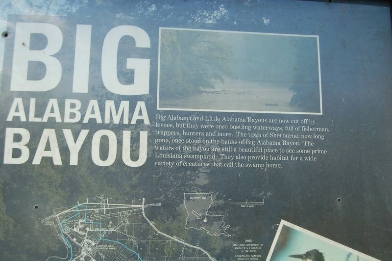
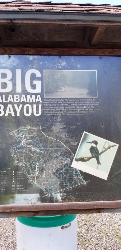
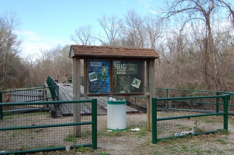
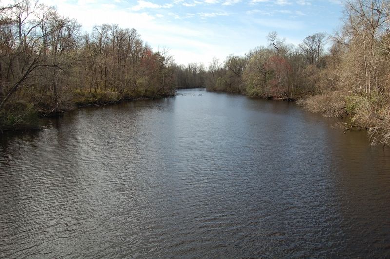
Big Alabama Bayou
Big Alabama Bayou
Big Alabama and Little Alabama Bayous are now cut off by levees, but once were bustling waterways, full of fisherman, trappers, hunters and more. The town of Sherburne, now long gone, once stood on the banks of the Big Alabama Bayou. The waters of the bayou are still a beautiful place to see some prime Louisiana swampland. They also provide habitat for a wide variety of creatures that call the swamp home.
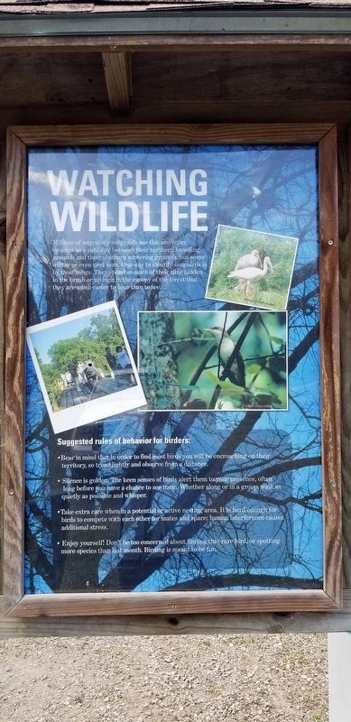
Watching Wildlife
Millions of migratory songbirds use this and other swamps as a pathway between their northern breeding grounds and their southern wintering grounds, but some winter or even nest here. One way to identify songbirds is by their songs. They spend so much of their time hidden in the brush or up high in the canopy of the forest that they are much easier to hear than see.
Suggested rules of behavior for birders:
•Bear in mind that in order to find most birds you will be encroaching on their territory, so tread lightly and observe from a distance.
•Silence is golden. The keen senses of birds alert them to your presence, often long before you have a chance to see them. Whether alone or in a group, walk as quietly as possible and whisper.
•Take extra care when in a potential or active nesting area. It is hard enough for birds to compete with each other for
•Enjoy yourself. Don't be too concerned about finding that rare bird, or spotting more species than last month. Birding is meant to be fun.
Topics. This historical marker is listed in these topic lists: Animals • Environment • Waterways & Vessels.
Location. 30° 25.46′ N, 91° 40.316′ W. Marker is in Krotz Springs, Louisiana, in St. Landry Parish. Marker is on Bayou Manuel Road, 1½ miles north of Whiskey Bay Highway (State Highway 975), on the left when traveling north. Touch for map. Marker is in this post office area: Krotz Springs LA 70750, United States of America. Touch for directions.
Other nearby markers. At least 8 other markers are within 12 miles of this marker, measured as the crow flies. Bottomland Hardwoods (within shouting distance of this marker); Atchafalaya Floodway (approx. 2.6 miles away); Atchafalaya River (approx. 6½ miles away); Louisiana Airborne Memorial Bridge (approx. 6½ miles away); a different marker also named Atchafalaya River (approx. 10 miles away); a different marker also named Atchafalaya Floodway (approx. 10.2 miles away); a different marker also named Atchafalaya River (approx. 11.2 miles away); Livonia Mounds (approx. 11.9 miles away). Touch for a list and map of all markers in Krotz Springs.
More about this marker. Whiskey Bay Highway and Bayou Manuel Road are gravel. Take any necessary steps for visit.
Credits. This page was last revised on February 23, 2024. It was originally submitted on February 10, 2019, by Cajun Scrambler of Assumption, Louisiana. This page has been viewed 473 times since then and 65 times this year. Photos: 1, 2, 3, 4, 5. submitted on February 10, 2019.
