Phoebus in Hampton, Virginia — The American South (Mid-Atlantic)
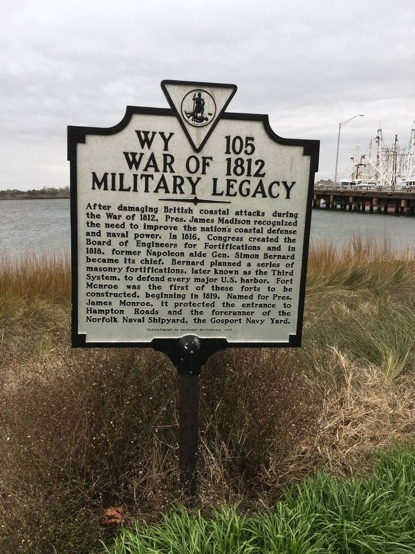
War of 1812
Military Legacy
Erected 2011 by Virginia Department of Historic Resources. (Marker Number WY-105.)
Topics and series. This historical marker is listed in these topic lists: Colonial Era • Forts and Castles • War of 1812. In addition, it is included in the Former U.S. Presidents: #04 James Madison, and the Virginia Department of Historic Resources (DHR) series lists.
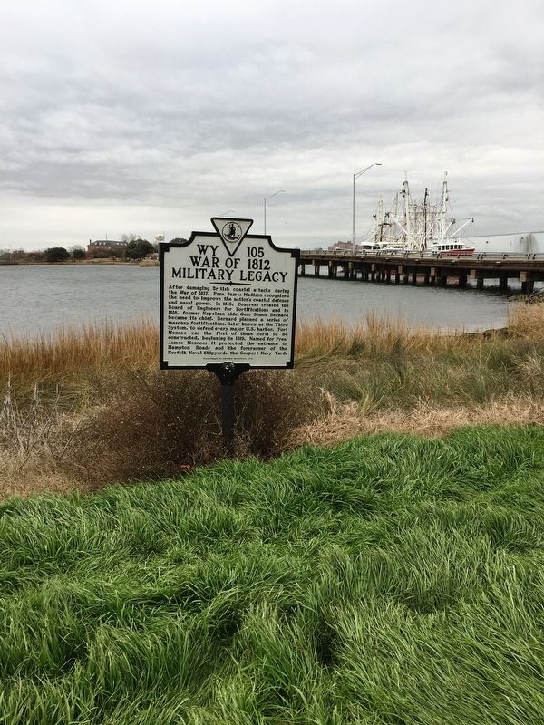
Location. 37° 0.871′ N, 76° 19.085′ W. Marker is in Hampton, Virginia. It is in Phoebus. Marker is on Melon Street, 0.1 miles west of Water Street, on the left when traveling south. located within Phoebus Waterfront Park near the shoreline. Touch for map. Marker is in this post office area: Hampton VA 23663, United States of America. Touch for directions.
Other nearby markers. At least 8 other markers are within walking distance of this marker. Camp Hamilton (here, next to this marker); Saint Mary Star Of The Sea And Its School (about 400 feet away, measured in a direct line); In Memoriam (approx. 0.3 miles away); Phoebus - The Gateway To The New World (approx. 0.3 miles away); Town Hall / Fire Department (approx. 0.3 miles away); Harrison Phoebus (approx. 0.3 miles away); Phoebus Life (approx. 0.3 miles away); Chesapeake & Ohio (approx. 0.4 miles away). Touch for a list and map of all markers in Hampton.
Credits. This page was last revised on February 1, 2023. It was originally submitted on February 11, 2019, by Brandon D Cross of Flagler Beach, Florida. This page has been viewed 217 times since then and 19 times this year. Last updated on February 13, 2019, by Brandon D Cross of Flagler Beach, Florida. Photos: 1, 2. submitted on February 11, 2019, by Brandon D Cross of Flagler Beach, Florida. • Andrew Ruppenstein was the editor who published this page.

