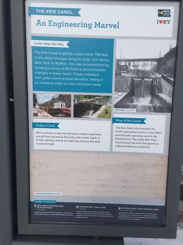
Fultonville in Montgomery County, New York — The American Northeast (Mid-Atlantic)
The Erie Canal
An Engineering Marvel
Locks Open the Way
The Erie Canal originally scaled some 700 feet in elevation changes along its route from Rome, New York to Buffalo. This was accomplished by building a series of 83 locks to accomodate changes in water levels. These chambers with gates acted as boat elevators, letting in or releasing water to raise or lower boats.
Today's Canal
After increases in size over the years, today's canal locks are 328 feet long and 45 feet wide, with a water depth of 12 feet, allowing vessels 300 feet long and 43.5 wide to pass through.
King of the Canals
The Erie Canal, which marked its 200th anniversary in 2017, is the oldest continuously operating canal in the United States. The entire New York Canal System has been designated a National Historic Landmark.
Nearby Attractions
-Erie Canal Heritage Center at Fort Byron, Fort Byron
-Camillus Erie Canal Park, Camillus
-Old Erie Canal State Historic Park, Dewitt to Rome
Erected by Path Through History/ I Love New York.
Topics and series. This historical marker is listed in this topic list: Waterways & Vessels. In addition, it is included in the Erie Canal, and the National Historic Landmarks series lists.
Location. 42° 54.993′ N, 74° 26.829′ W. Marker is in Fultonville, New York, in Montgomery County. Marker can be reached from NY Thruway (Interstate 90) when traveling west. Marker is at the Mohawk Valley Welcome Center. Touch for map. Marker is in this post office area: Fultonville NY 12072, United States of America. Touch for directions.
Other nearby markers. At least 8 other markers are within walking distance of this marker. A different marker also named The Erie Canal (within shouting distance of this marker); a different marker also named The Erie Canal (within shouting distance of this marker); The Mohawk Valley (within shouting distance of this marker); a different marker also named The Erie Canal (within shouting distance of this marker); a different marker also named The Mohawk Valley (within shouting distance of this marker); History of the Buoy Boat (within shouting distance of this marker); Transportation is King / Modernization (within shouting distance of this marker); a different marker also named The Mohawk Valley (within shouting distance of this marker). Touch for a list and map of all markers in Fultonville.
Credits. This page was last revised on February 13, 2019. It was originally submitted on February 13, 2019, by Steve Stoessel of Niskayuna, New York. This page has been viewed 138 times since then and 11 times this year. Photo 1. submitted on February 13, 2019, by Steve Stoessel of Niskayuna, New York. • Bill Pfingsten was the editor who published this page.
