Wythe in Hampton, Virginia — The American South (Mid-Atlantic)
Deaf and Blind School
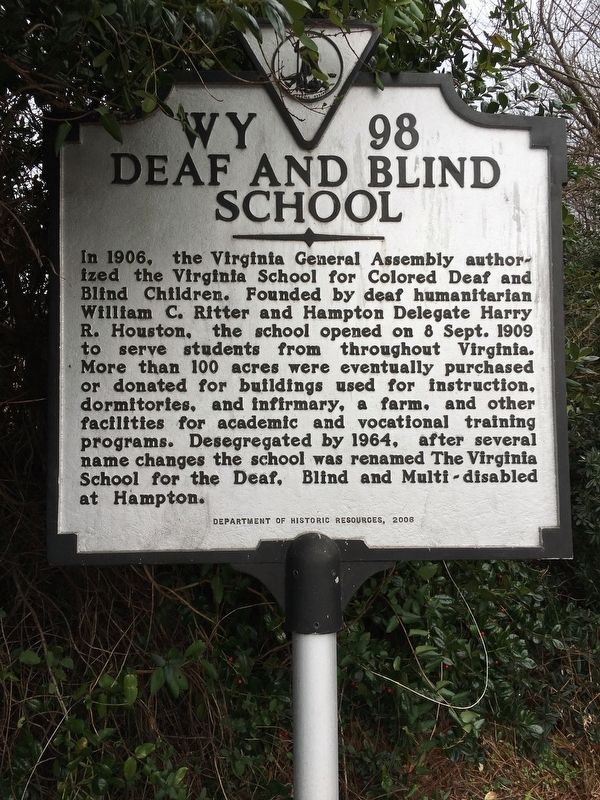
Photographed by Brandon D Cross, January 20, 2019
1. Deaf and Blind School Marker
Erected 2006 by Virginia Department of Historic Resources. (Marker Number WY 98.)
Topics and series. This historical marker is listed in these topic lists: African Americans • Agriculture • Education. In addition, it is included in the Virginia Department of Historic Resources (DHR) series list.
Location. 37° 0.119′ N, 76° 24.066′ W. Marker is in Hampton, Virginia. It is in Wythe. It is at the intersection of Shell Road and Aberdeen Road when
this page online

Regionally, this marker is on Virginia’s Peninsula and in Coastal Virginia. It is also in the American South, specifically in the Upper South, in the Tidewater, and on the Eastern Seaboard. Globally, it is in the North Atlantic Region, North America, the Western Hemisphere, the Western World, and the Anglosphere. Historically, it finds itself in what was once the territory of the Mississippian Culture, one of the original Thirteen Colonies, one of the Confederate States of America, and the Antebellum South.
Other nearby markers. At least 8 other markers are within walking distance of this marker: Pleasant Shade Cemetery (approx. 0.4 miles away); Newport News POW Camp (approx. half a mile away); Confederate Dead (approx. half a mile away); Veterans Memorial (approx. 0.7 miles away); Greenlawn Cemetery (approx. 0.7 miles away); The Clark Oak (approx. ¾ mile away); George Wythe Schools (approx. 0.8 miles away); Newsome House (approx. 0.8 miles away).
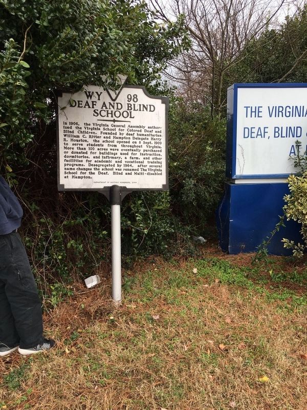
Photographed by Brandon D Cross, January 20, 2019
2. Deaf and Blind School Marker
Regarding Deaf and Blind School. This facility is closed. Commercial/Residential development is close at hand.
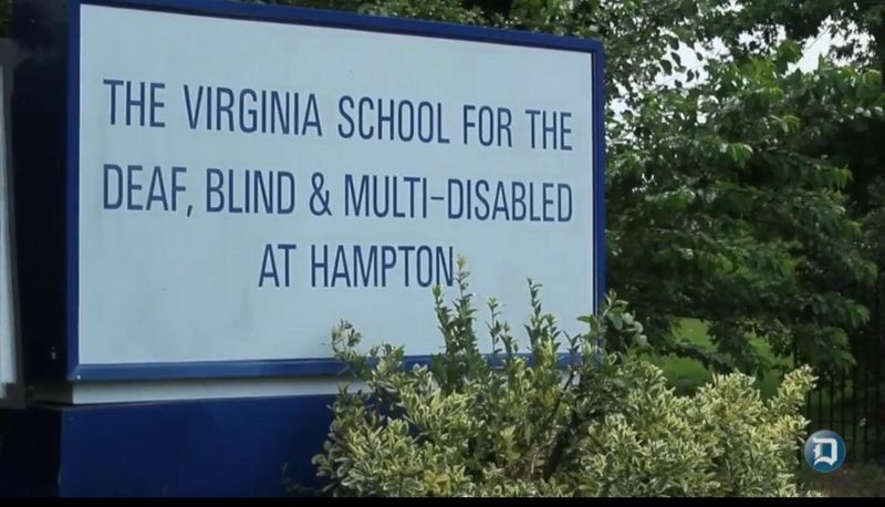
Photographed by Brandon D Cross
3. Deaf and Blind School location sign still visible
Credits. This page was last revised on February 1, 2023. It was originally submitted on February 13, 2019, by Brandon D Cross of Flagler Beach, Florida. This page has been viewed 2,573 times since then and 132 times this year. Photos: 1, 2, 3. submitted on February 13, 2019, by Brandon D Cross of Flagler Beach, Florida. • Bill Pfingsten was the editor who published this page.
