Near Calaveritas in Calaveras County, California — The American West (Pacific Coastal)
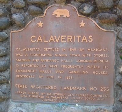
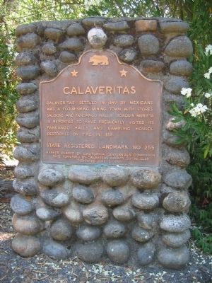
Calaveritas
Erected 1950 by The California Centennials Commission. Base furnished by Calaveras County 20-30 Club, June 18, 1950. (Marker Number 255.)
Topics and series. This historical marker is listed in these topic lists: Disasters • Hispanic Americans • Industry & Commerce • Settlements & Settlers. In addition, it is included in the California Historical Landmarks series list. A significant historical year for this entry is 1849.
Location. 38° 9.477′ N, 120° 36.741′ W. Marker is near Calaveritas, California, in Calaveras County. Marker is at the intersection of Calaveritas Road and Costa Road, on the right when traveling east on Calaveritas Road. Marker is 4.5 miles southeast of San Andreas. Touch for map. Marker is in this post office area: San Andreas CA 95249, United States of America. Touch for directions.
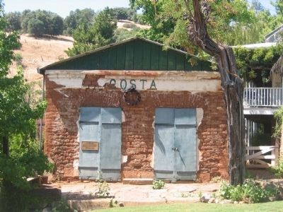
Other nearby markers. At least 8 other markers are within 5 miles of this marker, measured as the crow flies. The Costa Store (about 300 feet away, measured in a direct line); Attempted Stage Robbery (approx. 2.2 miles away); Fourth Crossing (approx. 2.2 miles away); Calaveras County Hospital Cemetery (approx. 3˝ miles away); The Red Barn (approx. 3.6 miles away); Calaveras County War Memorial (approx. 3.8 miles away); Model 1841 12-Pound Field Howitzers (approx. 3.8 miles away); San Andreas (approx. 4.6 miles away).
Regarding Calaveritas. This site has been designated as California Registered Historical Landmark No.255
Also see . . .
1. Wikipedia Account of Calaveritas. (Submitted on October 26, 2008, by Syd Whittle of Mesa, Arizona.)
2. Malakoff: Calaveritas. (Submitted on October 26, 2008, by Syd Whittle of Mesa, Arizona.)
Additional keywords. Gold Rush
Credits. This page was last revised on November 3, 2019. It was originally submitted on October 26, 2008, by Syd Whittle of Mesa, Arizona. This page has been viewed 2,387 times since then and 29 times this year. Photos: 1, 2, 3, 4. submitted on October 26, 2008, by Syd Whittle of Mesa, Arizona.


