
Hollywood Hills in Los Angeles in Los Angeles County, California — The American West (Pacific Coastal)
Nancy Pohl Overlook at Fryman Canyon
Mulholland Scenic Parkway
Photographed by Craig Baker, February 12, 2019
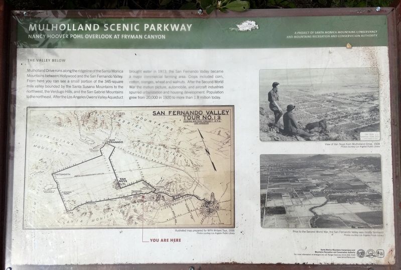
1. Nancy Pohl Overlook Marker
The Valley Below
Mulholland Drive runs along the ridgeline of the Santa Monica Mountains between Hollywood and the San Fernando Valley. From here you can see a small portion of the 345-square-mile valley bounded by the Santa Susana Mountains to the west, the Verdugo Hills and the San Gabriel Mountains to the northeast. After the Los Angeles Owens Valley Aqueduct brought water in 1913, the San Fernando Valley became a major commercial farming area. Crops included corn, cotton, oranges, wheat, and walnuts. After the Second World War, the motion picture, automobile, and aircraft industries spurred urbanization and housing development. Population grew from 20,000 in 1920 to more than 1.8 million today.
Erected by Santa Monica Mountains Conservancy; and Mountains Recreation and Conservation Authority.
Topics. This historical marker is listed in this topic list: Roads & Vehicles. A significant historical year for this entry is 1913.
Location. 34° 7.338′ N, 118° 23.125′ W. Marker is in Los Angeles, California, in Los Angeles County. It is in Hollywood Hills. It is on Mulholland Drive 0.7 miles west of Laurel Canyon Boulevard,
this page online

Regionally, this marker is in California’s Transverse Ranges. It is also on the American Pacific Coast. Globally, it is in North America, on the Ring of Fire, in the Pacific Rim, in the Western Hemisphere, in the Western World, and in the Anglosphere. Historically, it finds itself in what was once New Spain and also Mexico’s Alta California.
Other nearby markers. At least 8 other markers are within 2 miles of this marker, measured as the crow flies: El Paradiso (approx. 0.4 miles away); Bailey House (approx. half a mile away); Barbara A. Fine Overlook (approx. 0.7 miles away); Shulman House (approx. one mile away); Lankershim Monument (approx. 1.2 miles away); The Basin Residence (approx. 1.2 miles away); Universal City Overlook (approx. 1.2 miles away); "The Store Where The Creatures Meet" (approx. 1.3 miles away). Touch for a list and map of all markers in Los Angeles.
Regarding Nancy Pohl Overlook at Fryman Canyon. Mulholland
Photographed by Craig Baker, February 12, 2019
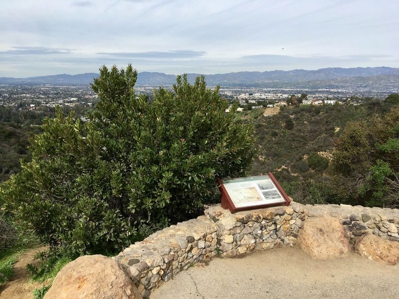
2. Nancy Pohl Overlook and Marker
From parkway vista points you can see panoramas of the city, mountains, and beaches, or hike trails into pockets of wilderness in the canyons. Mulholland Scenic Corridor runs approximately 50 miles from Griffith Park to Leo Carrillo State Beach. It links city, county, state, and federal parks within the Santa Monica Mountains National Recreation Area.
Photographed by Craig Baker, February 12, 2019
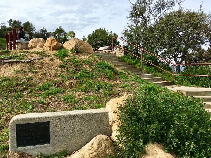
3. The marker is at the top of the stairs
courtesy LAPL
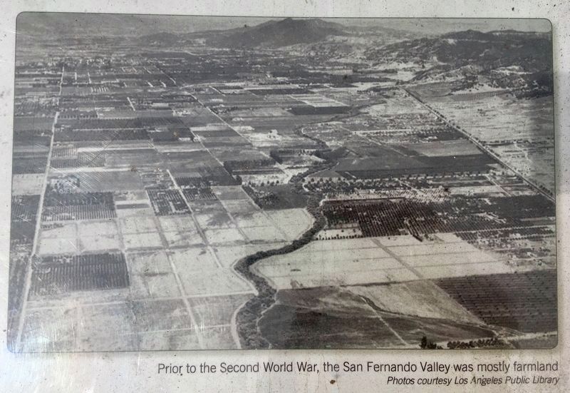
4. Marker Detail
Prior to the Second World War, the San Fernando Valley was mostly farmland.

courtesy LAPL, 1928
5. Marker Detail -- Wrong Valley
Photo on the marker is not the San Fernando Valley/Van Nuys, it is the Coachella Valley/Palm Springs.
Credits. This page was last revised on February 2, 2026. It was originally submitted on February 13, 2019, by Craig Baker of Sylmar, California. This page has been viewed 868 times since then and 34 times this year. Photos: 1, 2, 3, 4. submitted on February 13, 2019, by Craig Baker of Sylmar, California. 5. submitted on July 26, 2024, by Craig Baker of Sylmar, California. • Andrew Ruppenstein was the editor who published this page.
