Auburn in Placer County, California — The American West (Pacific Coastal)
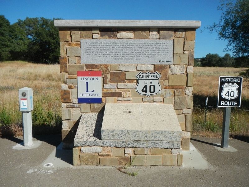
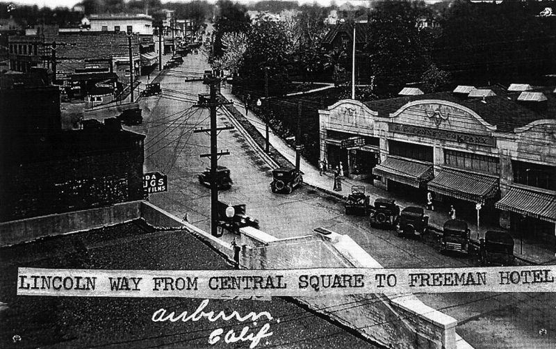
Lincoln Highway
Erected by Placer County Water Agency.
Topics and series. This historical marker is listed in this topic list: Roads & Vehicles. In addition, it is included in the Lincoln Highway series list. A significant historical date for this entry is July 1, 1913.
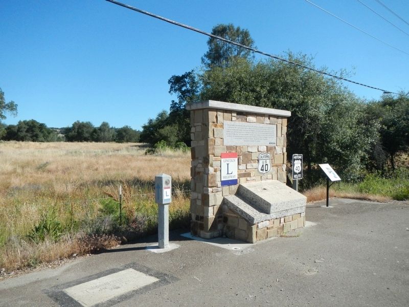
Location. 38° 53.11′ N, 121° 6.279′ W. Marker is in Auburn, California, in Placer County. Marker is on Ophir Road near Werner Road, on the right when traveling west. Touch for map. Marker is at or near this postal address: 10530 Ophir Road, Auburn CA 95603, United States of America. Touch for directions.
Other nearby markers. At least 8 other markers are within 2 miles of this marker, measured as the crow flies. Wise Power Plant (a few steps from this marker); Town of Ophir (approx. 1.2 miles away); Bloomers Cut (approx. 1.3 miles away); Jean Baptiste Charbonneau (approx. 1˝ miles away); The Auburn Joss House (approx. 1.6 miles away); Claude Chana (approx. 1.6 miles away); Gietzen Fire Station (approx. 1.6 miles away); Chinese Houses (approx. 1.6 miles away). Touch for a list and map of all markers in Auburn.
Also see . . . The Lincoln Highway -- Federal Highway Administraton. In 1912, the Nation's highways were just emerging from the "Dark Ages" of road building in the second half of the 19th Century. Railroads dominated interstate transportation of people and goods. Roads were primarily of local interest. Outside cities, "market roads" were maintained, for better or worse, by counties or townships. Many States were prohibited by their constitution from paying for "internal improvements," such as road projects.... On July 1, 1913, a group of automobile enthusiasts and industry officials established the Lincoln Highway Association (LHA) "to procure the establishment of a continuous improved highway from the Atlantic to the Pacific, open to lawful traffic of all description without toll charges." In its time, the Lincoln Highway would become the Nation's premier highway... (Submitted on February 14, 2019, by Barry Swackhamer of Brentwood, California.)
Credits. This page was last revised on February 14, 2019. It was originally submitted on February 14, 2019, by Barry Swackhamer of Brentwood, California. This page has been viewed 370 times since then and 29 times this year. Photos: 1, 2, 3, 4, 5, 6. submitted on February 14, 2019, by Barry Swackhamer of Brentwood, California.

