Shady Side in Anne Arundel County, Maryland — The American Northeast (Mid-Atlantic)
At Work — At Play on the Bay
From Waterman's Home to Fishing Club
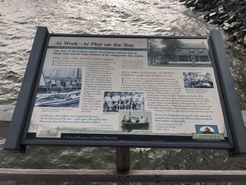
The story of the Captain Salem Avery House mirrors that of Shady Side and the larger history of the Chesapeake Bay region.
1860-1921 The Avery Family Home
In the mid-19th century, a young man came to Shady Side from New York to make his fortune as a waterman. Over-dredging had exhausted Northern oyster beds, and Captain Salem Avery was just one of many mariners drawn to the Chesapeake by its abundant oyster stock. Avery married Lucretia Weedon of Mayo (just across the river), and in 1860 they built a home here in "The Great Swamp" where they raised seven children. A buy boat captain at the height of Chesapeake oystering, Salem Avery bought oysters from local "tongers" and took the catch to market in Baltimore. Captain Salem Avery died in 1887. Avery's son Andrew and his wife Augusta lived in the home until 1921.
Couldn't go in there without Aunt Augusta feeding you! Oh, she'd feed you all the time—crabs, oyster, fish and hog meat. The average house had hogs as much as they had children.
— Erwood Avery, Captain Salem Avery's grandson
Soon after acquiring Captain Avery's home, the National Masonic Fishing and Country Club removed the original one-story kitchen and built a large addition in its place which you can see today. The addition featured a spacious assembly hall and eight private homes. The old house was divided into boys and girls dormitories.
1923-1989 National Masonic Fishing and Country Club
In
this page online
It's sort of a family place, but sort of a club, and sort of a country place. It was a big, old house where everybody lived together, one big family.
— Annette Kamerow Gould, Fishing Club Member (1951-1972)
A National Register of Historic Places Site
Erected by Chesapeake Bay Gateways Network.
Topics.
Photographed by Devry Becker Jones (CC0), February 16, 2019
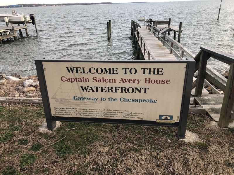
2. At Work — At Play on the Bay Marker is on the dock in the background
Location. 38° 51.008′ N, 76° 30.702′ W. Marker is in Shady Side, Maryland, in Anne Arundel County. It is on East West Shady Side Road west of Bast Avenue, on the right when traveling north. Touch for map. Marker is at or near this postal address: 1420 East West Shady Side Road, Shady Side MD 20764, United States of America. Touch for directions.

Regionally, this marker is in Central Maryland. It is also in the American Mid-Atlantic, in the Chesapeake Bay Region, and on the Eastern Seaboard. Globally, it is in the North Atlantic Region, North America, the Western Hemisphere, the Western World, and the Anglosphere. Historically, it finds itself in what was once one of the original Thirteen Colonies and also the Antebellum South.
Other nearby markers. At least 8 other markers are within walking distance of this marker: Imagine Yourself on the River (a few steps from this marker); Cannon - From Shady Side's Rural Home Hotel
Photographed by Devry Becker Jones (CC0), February 16, 2019
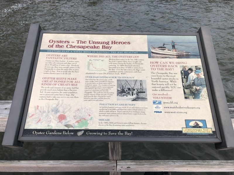
3. Oysters — The Unsung Heroes of the Chesapeake Bay
Nature marker on the dock
Photographed by Devry Becker Jones (CC0), February 16, 2019
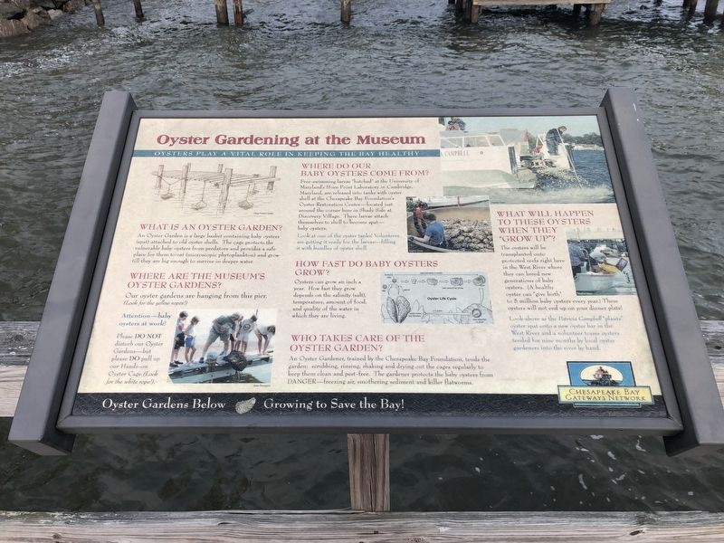
4. Oyster Gardening at the Museum
Plaque describing environmental project at the museum
Photographed by Devry Becker Jones (CC0), February 16, 2019
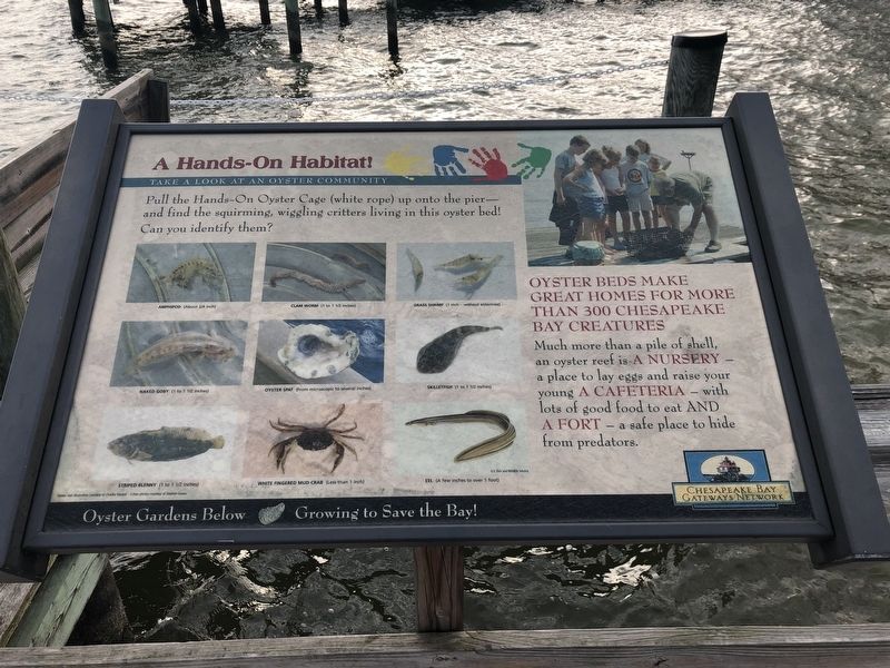
5. A Hands-On Habitat!
Nature marker nearby
Photographed by Devry Becker Jones (CC0), February 16, 2019
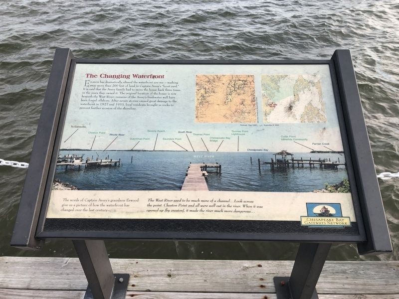
6. The Changing Waterfront
Identical to the marker near to the dock.
Credits. This page was last revised on January 25, 2021. It was originally submitted on February 16, 2019, by Devry Becker Jones of Washington, District of Columbia. This page has been viewed 397 times since then and 52 times this year. Photos: 1, 2, 3, 4, 5, 6. submitted on February 16, 2019, by Devry Becker Jones of Washington, District of Columbia. • Bill Pfingsten was the editor who published this page.
