Noxapater in Winston County, Mississippi — The American South (East South Central)
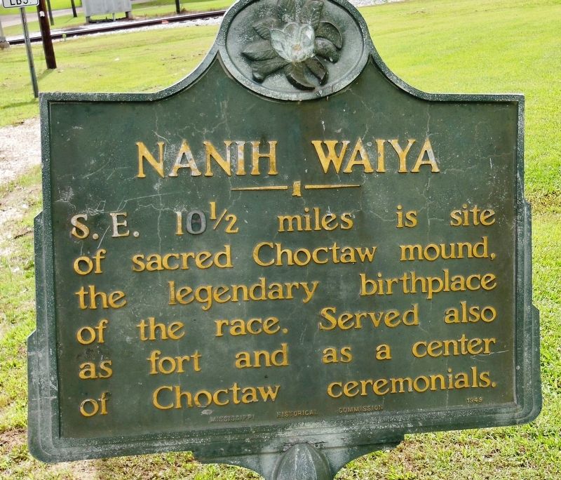
Nanih Waiya
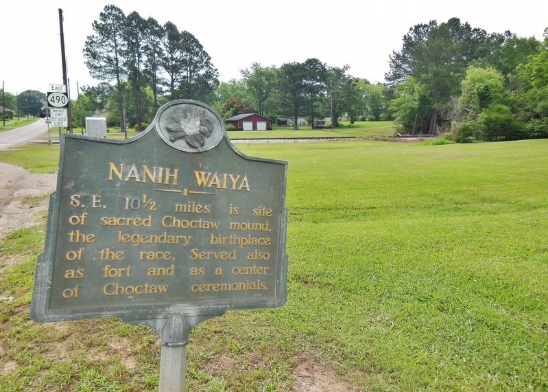
S.E. 10 ˝ miles is site of sacred Choctaw mound, the legendary birthplace of the race. Served also as fort and as a center of Choctaw ceremonials.
Erected 1949 by Mississippi Historical Commission.
Topics and series. This historical marker is listed in these topic lists: Forts and Castles • Native Americans • Notable Places. In addition, it is included in the Mississippi State Historical Marker Program series list.
Location. Marker is missing. It was located near 32° 59.539′ N, 89° 3.772′ W. Marker was in Noxapater, Mississippi, in Winston County. Marker was at the intersection of East Main Street (State Highway 490) and West Front Street, on the right when traveling east on East Main Street. Marker is located on the south side of Main Street about 50 yards west of the railroad tracks. Touch for map. Marker was in this post office area: Noxapater MS 39346, United States of America. Touch for directions.
Other nearby markers. At least 8 other markers are within 12 miles of this location, measured as the crow flies. A different marker also named Nanih Waiya (approx. 8.3 miles away); Community House (approx. 9 miles away); Grierson's Raid (approx. 9 miles away); First Presbyterian Church (approx. 9 miles away); Winston County War Memorial (approx. 9.1 miles away); Carl Jackson (approx. 9.1 miles away); Winston County Soldiers Monument (approx. 9.1 miles away); “Big Iron” and Camp Palila (approx. 11.2 miles away).
Also see . . . Nanih Waiya. Wikipedia entry:
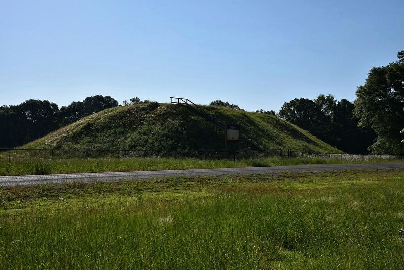
Nanih Waiya is an ancient earthwork mound in southern Winston County, Mississippi, constructed by indigenous people during the Middle Woodland period, about 1-300 CE. The mound of Nanih Waiya is about 25 feet tall, 140 feet wide, and 220 feet long. The 19th-century naturalist and physician Gideon Lincecum recorded a surviving Choctaw oral tradition of their arrival in the area and the construction of the mound. (Submitted on February 18, 2019, by Cosmos Mariner of Cape Canaveral, Florida.)
Additional commentary.
1. Marker knocked down and stored.
Talked to the City Hall in Noxapater and the marker was knocked down and is being stored in the town shops and has just not been put back up.
— Submitted September 18, 2019, by Mark Hilton of Montgomery, Alabama.
Credits. This page was last revised on March 26, 2024. It was originally submitted on February 18, 2019, by Cosmos Mariner of Cape Canaveral, Florida. This page has been viewed 249 times since then and 32 times this year. Photos: 1, 2. submitted on February 18, 2019, by Cosmos Mariner of Cape Canaveral, Florida. 3. submitted on March 26, 2024, by Larry Gertner of New York, New York. • Andrew Ruppenstein was the editor who published this page.


