Jourdanton in Atascosa County, Texas — The American South (West South Central)
Jourdan Campbell
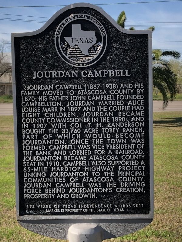
Photographed by Brian Anderson, February 17, 2019
1. Jourdan Campbell Marker
Erected 2011 by Texas Historical Commission. (Marker Number 16705.)
Topics. This historical marker is listed in these topic lists: Industry & Commerce • Railroads & Streetcars • Roads & Vehicles • Settlements & Settlers. A significant historical year for this entry is 1907.
Location. 28° 55.464′ N, 98° 32.135′ W. Marker is in Jourdanton, Texas, in
this page online

Regionally, this marker is in the Hill Country and in the San Antonio Metropolitan Area. Globally, it is in North America, a Gulf of Mexico state, the Western Hemisphere, the Western World, and the Anglosphere. Historically, it finds itself in what was once New Spain, the Republic of Texas, and one of the Confederate States of America.
Other nearby markers. At least 8 other markers are within walking distance of this marker: Mercy Hospital (here, next to this marker); Jourdanton (here, next to this marker); Ralph Roy Smith (here, next to this marker); St. John Evangelical Lutheran Church (within shouting distance of this marker); Revolutionary War Patriots (approx. 0.7 miles away); Atascosa County Courthouse (approx. 0.7 miles away); Atascosa County (approx. 0.7 miles away); Old Atascosa County Jail (approx. ¾ mile away). Touch for a list and map of all markers
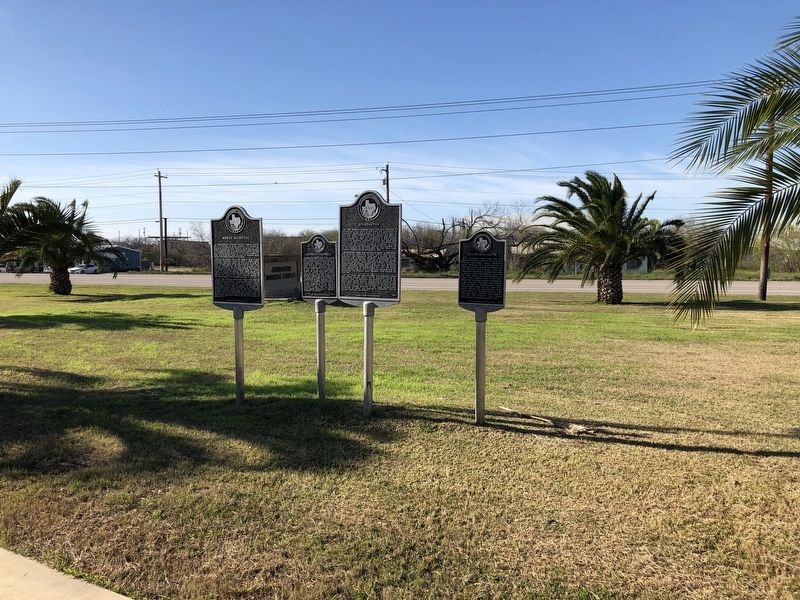
Photographed by Brian Anderson, February 17, 2019
2. Jourdan Campbell Marker
Another marker is no longer nearby. Atascosa County Courthouse (was approx. 0.7 miles away but has been confirmed missing).
Credits. This page was last revised on December 18, 2019. It was originally submitted on February 21, 2019, by Brian Anderson of New Albany, Ohio. This page has been viewed 877 times since then and 103 times this year. Photos: 1, 2. submitted on February 21, 2019, by Brian Anderson of New Albany, Ohio.
