Near Taft in Kern County, California — The American West (Pacific Coastal)
Tulamniu Indian Site
Photographed by Craig Baker, February 23, 2019
1. Tulamniu Indian Site Marker
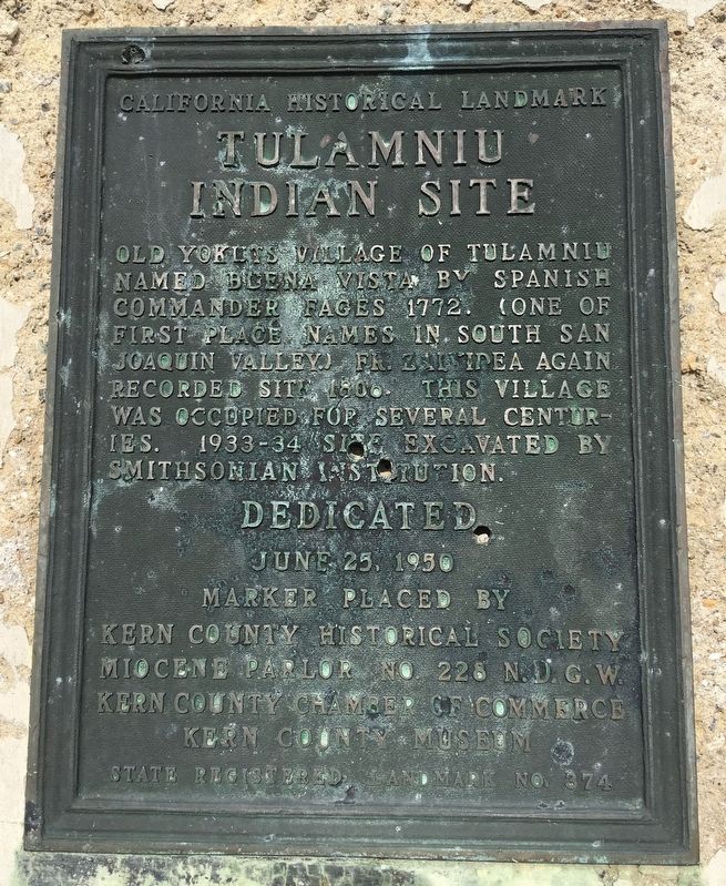
The old Yokuts village of Tulamniu was named Buena Vista by Spanish Commander Fages in 1772. (One of first place names in south San Joaquin Valley.) Fr. Zalvidea again recorded the site in 1806. This village was occupied for several centuries. 1933-34, site excavated by Smithsonian Institution. California Historical Landmark No. 374.
Erected 1950 by Kern County Historical Society; N.D.G.W.; Kern County Chamber of Commerce; and Kern County Museum. (Marker Number 374.)
Topics and series. This historical marker is listed in this topic list: Indigenous Peoples and Communities. In addition, it is included in the California Historical Landmarks, and the Native Sons/Daughters of the Golden West series lists.
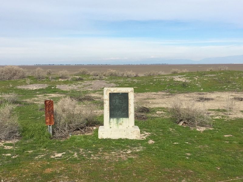
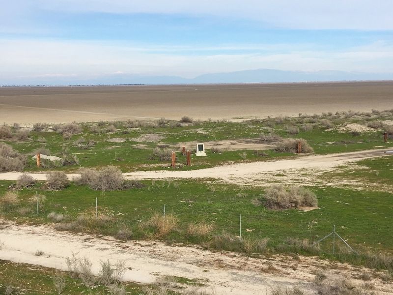
Location. 35° 10.544′ N, 119° 20.533′ W. Marker is near Taft, California, in Kern County. It can be reached from Lake Station Road 2.7 miles north of Gardner Field Road. Walk 1½ miles north-northwest from Plains Lake Pump Station. Touch for map. Marker is at or near this postal address: 3431 Lake Station Rd, Taft CA 93268, United States of America. Touch for directions.

Regionally,
this page online
Other nearby markers. At least 8 other markers are within 8 miles of this marker, measured as the crow flies: Gardner Field (approx. 5.4 miles away); West Kern Oil Museum (approx. 6.7 miles away); Midway Sunset Oilfield (approx. 6.7 miles away); Lakeview Gusher No.1 (approx. 6.7 miles away); Lakeview Gusher #1 (approx. 6.7 miles away); Duplex Pump (approx. 7.1 miles away); Oil Worker Monument (approx. 7.2 miles away); The Fort (approx. 7.2 miles away). Touch for a list and map of all markers in Taft.
Photographed by Craig Baker, February 23, 2019
2. Tulamniu Indian Site Marker
Photographed by Craig Baker, February 23, 2019
3. Tulamniu Indian Site Marker
Credits. This page was last revised on August 15, 2025. It was originally submitted on February 24, 2019, by Craig Baker of Sylmar, California. This page has been viewed 2,224 times since then and 268 times this year. Photos: 1, 2, 3. submitted on February 24, 2019, by Craig Baker of Sylmar, California. • Andrew Ruppenstein was the editor who published this page.
