New Oxford in Adams County, Pennsylvania — The American Northeast (Mid-Atlantic)
Fill 'Er Up
Lincoln Highway Heritage Corridor
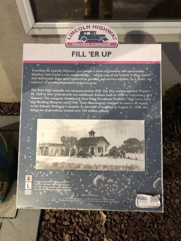
Traveling the Lincoln Highway gave people a sense of freedom and spontaneity. However, there came a new responsibility — taking care of the vehicle. Livery stables and blacksmith shops were replaced by gasoline and service stations. As a result, the industry of petroleum products began to grow.
The Aero Oil Company was incorporated in 1929. The first station opened October 26, 1929 in New Oxford with two additional stations built in 1930 in Gettysburg and Hanover. The company distributed Fleet Wing Petroleum Products, McCreary Tires and Reading Batteries until 1946. Then the company changed its source of supply to the Atlantic Refining Company. At the close of business in August 31, 1949, the deliveries of petroleum totaled over 103 million gallons.
Topics and series. This historical marker is listed in these topic lists: Industry & Commerce • Roads & Vehicles. In addition, it is included in the Lincoln Highway series list. A significant historical date for this entry is August 31, 1949.
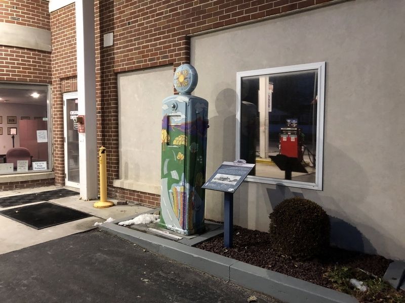
Location. 39° 51.932′ N, 77° 3.006′ W. Marker is in New Oxford, Pennsylvania, in Adams County. Marker is on Lincoln Way East (U.S. 30) east of Aero Avenue, on the right when traveling west. Touch for map. Marker is at or near this postal address: 230 Lincoln Way East, New Oxford PA 17350, United States of America. Touch for directions.
Other nearby markers. At least 8 other markers are within walking distance of this marker. New Oxford (about 500 feet away, measured in a direct line); New Oxford Veterans Memorial (approx. 0.3 miles away); Theo. Pfeiffer (approx. 0.3 miles away); World War II Veterans of New Oxford (approx. 0.3 miles away); Kuhn Tavern (approx. 0.4 miles away); Building the Highway (approx. 0.4 miles away); Gettysburg Campaign (approx. half a mile away); Road Versus Rail (approx. half a mile away). Touch for a list and map of all markers in New Oxford.
Credits. This page was last revised on August 31, 2021. It was originally submitted on February 24, 2019, by Devry Becker Jones of Washington, District of Columbia. This page has been viewed 195 times since then and 13 times this year. Photos: 1, 2. submitted on February 24, 2019, by Devry Becker Jones of Washington, District of Columbia. • Andrew Ruppenstein was the editor who published this page.

