McSherrystown in Adams County, Pennsylvania — The American Northeast (Mid-Atlantic)
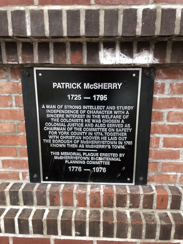
Patrick McSherry
1725 - 1795
Erected 1976 by McSherrystown Bi-Centennial Planning Committee.
Topics. This historical marker is listed in these topic lists: Colonial Era • Government & Politics • Settlements & Settlers.
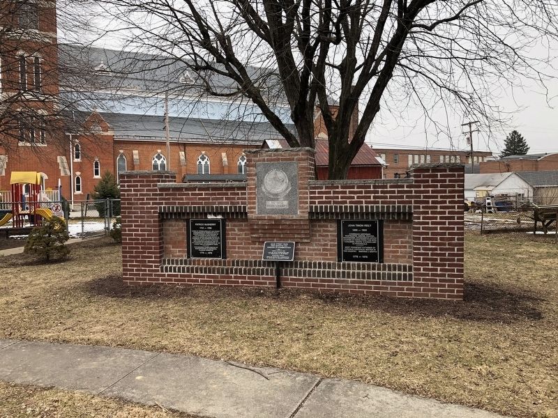
Location. 39° 48.211′ N, 77° 1.25′ W. Marker is in McSherrystown, Pennsylvania, in Adams County. Marker is on North Third Street north of Main Street (Route 116), on the right when traveling north. Touch for map. Marker is at or near this postal address: 307 Main Street, Mc Sherrystown PA 17344, United States of America. Touch for directions.
Other nearby markers. At least 8 other markers are within 2 miles of this marker, measured as the crow flies. John Timon Reily (here, next to this marker); McSherrystown (about 500 feet away, measured in a direct line); Hanover (approx. 1.2 miles away); a different marker also named Hanover (approx. 1.2 miles away); Stones from the Mass House (approx. 1.4 miles away); Conewago Chapel (approx. 1.4 miles away); Conewago Chapel Bell (approx. 1.4 miles away); Battle of Hanover (approx. 1.7 miles away). Touch for a list and map of all markers in McSherrystown.
Credits. This page was last revised on December 27, 2022. It was originally submitted on February 24, 2019, by Devry Becker Jones of Washington, District of Columbia. This page has been viewed 402 times since then and 31 times this year. Photos: 1, 2, 3. submitted on February 24, 2019, by Devry Becker Jones of Washington, District of Columbia. • Bill Pfingsten was the editor who published this page.


