The Berlin Wall
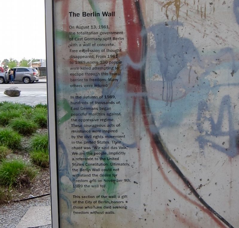
On August 13, 1961, the totalitarian government of East Germany split Berlin with a wall of concrete. Free expression of thought disappeared, From 1961 to 1989 some 130 people were killed attempting to escape through this brutal barrier to freedom. Many others were injured.
In the autumn of 1989, hundreds of thousands of East Germans began peaceful marches against the oppressive regime. These courageous acts of resistance were inspired by the civil rights movement in the United States. Their chant was "Wir sind das Volk," we are the people, implicitly a reference, to the United States Constitution. Ultimately, the Berlin Wall could not withstand the desire for freedom and on November 9th, 1989 the wall fell.
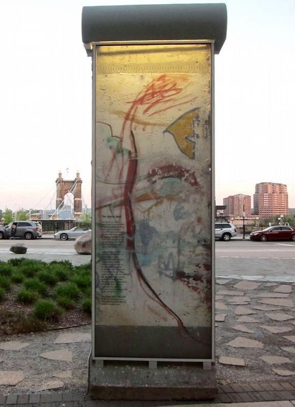
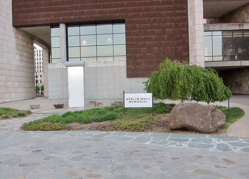
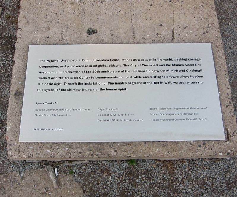
This section of the wall, a gift of the City of Berlin, honors those who have died seeking freedom without walls.
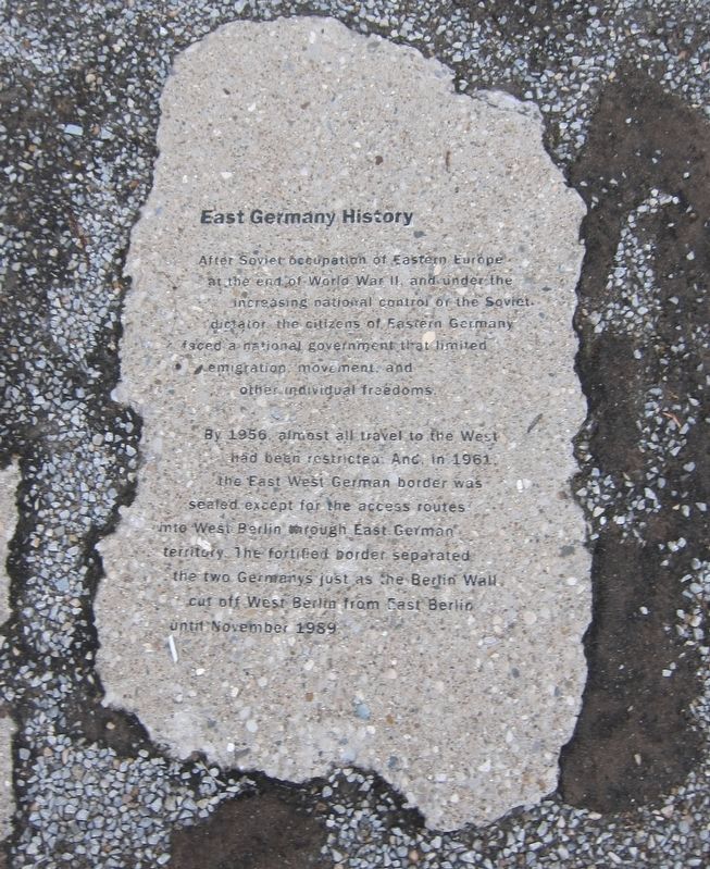
East Germany History
After Soviet occupation of Eastern Europe at the end of World War II, and under increasing control of the Soviet dictator the citizens of Eastern Germany faced a national government that limited emigration, movement, and other individual freedoms.
By 1956, almost all travel to the West had been restricted. And in 1961, the East West German border was sealed except for the access routes into West Berlin through East German territory. The fortified
this page online
Erected 2010.
Topics and series. This historical marker is listed in these topic lists: Political Subdivisions • War, Cold. In addition, it is included in the Berlin Wall series list. A significant historical date for this entry is August 13, 1961.
Location. 39° 5.834′ N, 84° 30.695′ W. Marker is in Cincinnati, Ohio, in Hamilton County. It is in the Central Business District. It is at the intersection of East Freedom Way and Vine Street, on the right when traveling west on East Freedom Way. Touch for map. Marker is at or near this postal address: 50 E Freedom Way, Cincinnati OH 45202, United States of America. Touch for directions.

Regionally, this marker is in the American Midwest and in the Ohio River Valley. Globally, it is in North America, the Western Hemisphere, the Western World, and the Anglosphere. Historically, it finds itself in what was once the Haudenosaunee (Iroquois) Confederacy, the territory of the Mississippian Culture, and the Northwest Territory.
Other nearby markers. At least 8 other markers are within walking distance of this marker: Harriet Tubman - The Beacon Of Hope (within shouting distance of this marker); The Burnet House (about 600 feet away, measured in a direct line); World’s Largest Chime Foot Piano
Also see . . . Berlin Wall (Wikipedia). (Submitted on February 26, 2019.)
Credits. This page was last revised on February 4, 2023. It was originally submitted on February 26, 2019, by Andrew Ruppenstein of Lamorinda, California. This page has been viewed 749 times since then and 71 times this year. Photos: 1, 2, 3, 4, 5. submitted on February 26, 2019, by Andrew Ruppenstein of Lamorinda, California.
