Bandera in Bandera County, Texas — The American South (West South Central)
Great Western Cattle Trail
Photographed by Brian Anderson, February 17, 2019
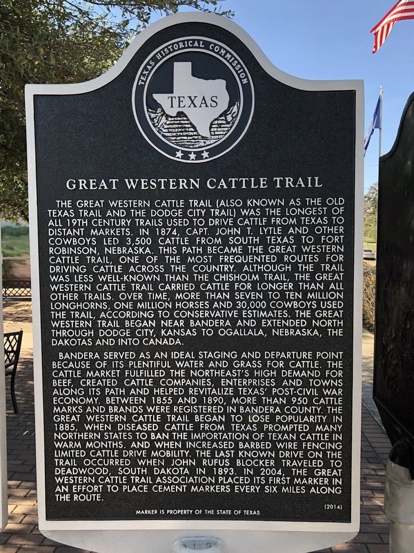
1. Great Western Cattle Trail Marker
Bandera served as an ideal staging and departure point because of its plentiful water and grass for cattle. The cattle market fulfilled the Northeast's high demand for beef, created cattle companies, enterprises and towns along its path and helped revitalize Texas' post-Civil War economy.
this page online
Erected 2014 by Texas Historical Commission. (Marker Number 17843.)
Topics. This historical marker is listed in this topic list: Roads & Vehicles. A significant historical year for this entry is 1874.
Location. 29° 43.545′ N, 99° 4.352′ W. Marker is in Bandera, Texas, in Bandera County. It is at the intersection of Main Street (State Highway 173/16) and Hackberry Street, on the right when traveling south on Main Street. Marker is located in the Western Trail Heritage Park. Touch for map. Marker is in this post office area: Bandera TX 78003,
Photographed by Brian Anderson, February 17, 2019
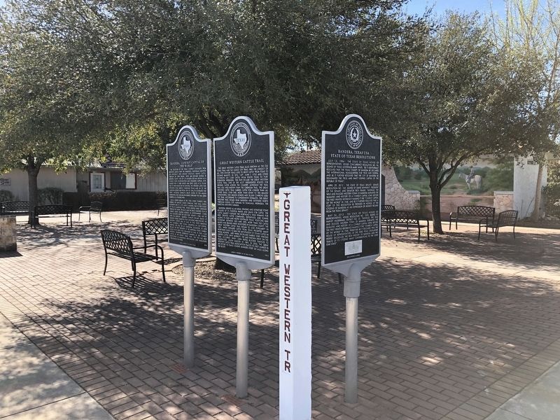
2. Great Western Cattle Trail Marker

Regionally, this marker is in the Hill Country and in the San Antonio Metropolitan Area. Globally, it is in North America, a Gulf of Mexico state, the Western Hemisphere, the Western World, and the Anglosphere. Historically, it finds itself in what was once New Spain, the Republic of Texas, and one of the Confederate States of America.
Other nearby markers. At least 8 other markers are within walking distance of this marker: Bandera, "Cowboy Capital of the World" (here, next to this marker); Bandera, Texas USA (here, next to this marker); a different marker also named Great Western Cattle Trail (a few steps from this marker); a different marker also named Bandera, Texas USA (a few steps from this marker); Recognizing Bandera "Cowboy Capital of the World" (a few steps from this marker); Camp Montel C.S.A. / Texas Civil War Frontier Defense (within shouting distance of this marker); Bandera County War Memorial (within shouting distance of this marker); Tribute to Valor (about 300 feet away, measured in a direct line). Touch for a list and map of all markers in Bandera.
Also see . . . Great Western Trail - The Handbook of Texas Online.
Photographed by Brian Anderson, February 17, 2019
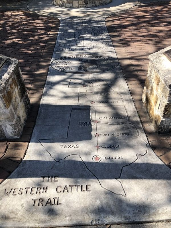
3. Map on Sidewalk Showing Route of the Great Western Cattle Trail
Credits. This page was last revised on February 27, 2019. It was originally submitted on February 26, 2019, by Brian Anderson of New Albany, Ohio. This page has been viewed 1,199 times since then and 95 times this year. Photos: 1, 2, 3. submitted on February 26, 2019, by Brian Anderson of New Albany, Ohio.
