New Castle Hundred in New Castle County, Delaware — The American Northeast (Mid-Atlantic)
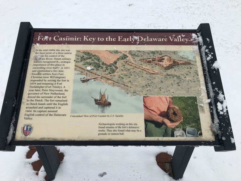
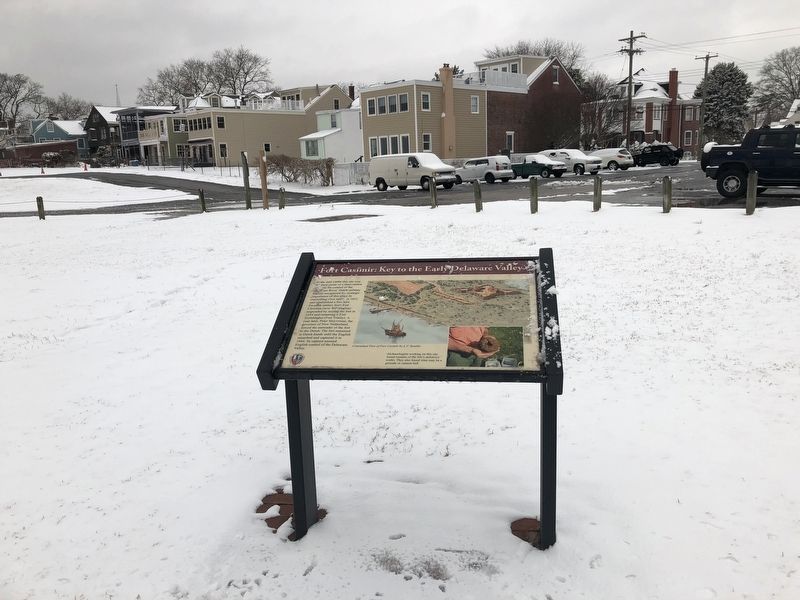
Fort Casimir: Key to the Early Delaware Valley
Photographed by Devry Becker Jones (CC0), March 1, 2019
1. Fort Casimir: Key to the Early Delaware Valley Marker
(Caption)
Archaeologists working on this site found remains of the fort's defensive works. They also found what may be a grenade or cannon ball.
Erected by New Castle Community Partnership.
Topics. This historical marker is listed in these topic lists: Colonial Era • Forts and Castles • Settlements & Settlers. A significant historical year for this entry is 1651.
Location. 39° 39.728′ N, 75° 33.561′ W. Marker is in New Castle, Delaware, in New Castle County. It is in New
this page online

Regionally, this marker is in Greater Wilmington and in Greater Philadelphia. It is also in the American Mid-Atlantic, on the Delmarva Peninsula, and on the Eastern Seaboard. Globally, it is in the North Atlantic Region, North America, the Western Hemisphere, the Western World, and the Anglosphere. Historically, it finds itself in what was once New Netherland and also one of the original Thirteen Colonies.
Other nearby markers. At least 8 other markers are within walking distance of this marker: Site of Fort Casimir (within shouting distance of this marker); Fort Casimir (within shouting distance of this marker); Broad Dyke (about 600 feet away, measured in a direct line); Veterans Memorial (about 600 feet away); Mount Salem U.M. Church (approx. 0.2 miles away); Midshipman John Stockton, United States Navy (approx. 0.2 miles away); George Read (approx. 0.2 miles away);
Photographed by Devry Becker Jones (CC0), March 1, 2019
2. Fort Casimir: Key to the Early Delaware Valley Marker
Credits. This page was last revised on May 28, 2026. It was originally submitted on March 1, 2019, by Devry Becker Jones of Washington, District of Columbia. This page has been viewed 934 times since then and 90 times this year. Photos: 1, 2. submitted on March 1, 2019, by Devry Becker Jones of Washington, District of Columbia. • Bill Pfingsten was the editor who published this page.
