Riverfront in Wilmington in New Castle County, Delaware — The American Northeast (Mid-Atlantic)
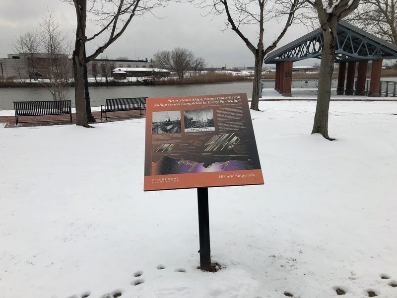
Historic Shipyards
Riverfront Wilmington
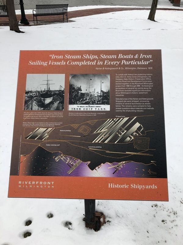
Harlan & Hollingsworth & Co., Wilmington, Delaware, 1878
To comply with federal law protecting historic sites, the U.S. Army Corps of Engineers, the Delaware State Historic Preservation Office, and the Riverfront Development Corporation worked together on the Riverfront Wilmington project from 1998 to 2000. Archeological excavations at several key points along the Riverfront revealed significant information about Wilmington's historic waterfront industries.
Selected areas of the Harlan and Hollingsworth Shipyard site were stripped, uncovering remains of several launchways as shown below. The remains were sampled to help answer questions about materials and methods used by the shipbuilding industry.
[Captions:]
This photo, taken about 1870, shows the Simpson Patent Drydock installed by Harlan & Hollingsworth to facilitate repair of large ships. The drydock was located west of the Elder Cut stream run and the launchways shown below in excavation.
Below: Sketch plan of excavations on the riverfront that revealed planking of the
this page online
Workers proudly pose in front of the Wyanoke, a ship built for the Old Dominion Steamship Company in 1870.
Erected by Riverfront Wilmington.
Topics. This historical marker is listed in this topic list: Waterways & Vessels. A significant historical year for this entry is 1878.
Location. 39° 44.2′ N, 75° 33.477′ W. Marker is in Wilmington, Delaware, in New Castle County. It is in Riverfront. It can be reached from River Place east of Justison Street, on the left when traveling east. Touch for map. Marker is at or near this postal address: 1 River Place, Wilmington DE 19801, United States of America. Touch for directions.

Regionally, this marker is in Greater Philadelphia. It is also in the American Mid-Atlantic, on the Delmarva Peninsula, and on the Eastern Seaboard. Globally, it is in the North Atlantic Region, North America, the Western Hemisphere, the Western World, and the Anglosphere. Historically, it finds itself in what was once New Netherland and also one of the original Thirteen Colonies.
Other nearby markers. At
Other markers no longer nearby. South Market Street Bridge (was approx. 0.2 miles away but has been replaced with another marker now near it); Freedom Lost (was approx. ¼ mile away but has been replaced with another marker now near it).
Additional keywords. archaeology
Photographed by Devry Becker Jones (CC0), March 1, 2019
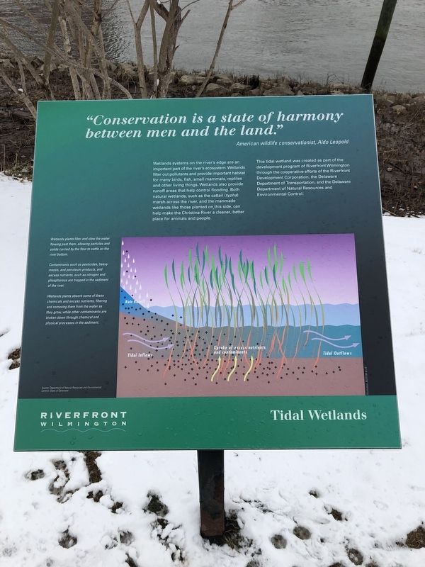
4. Tidal Wetlands Marker
Another nearby Nature Marker
Credits. This page was last revised on February 10, 2023. It was originally submitted on March 2, 2019, by Devry Becker Jones of Washington, District of Columbia. This page has been viewed 537 times since then and 37 times this year. Photos: 1, 2, 3, 4. submitted on March 2, 2019, by Devry Becker Jones of Washington, District of Columbia. • Bill Pfingsten was the editor who published this page.
