Anacostia in Southeast Washington in Washington, District of Columbia — The American Northeast (Mid-Atlantic)
Transit and Trade
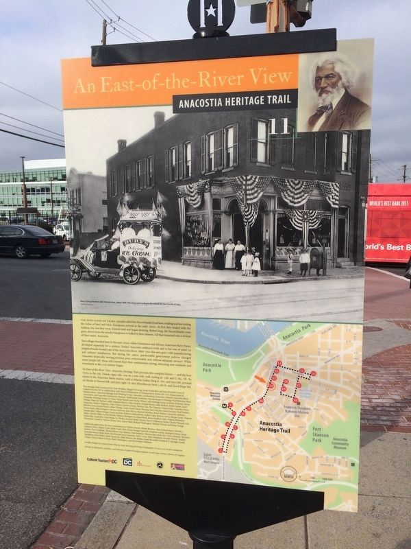
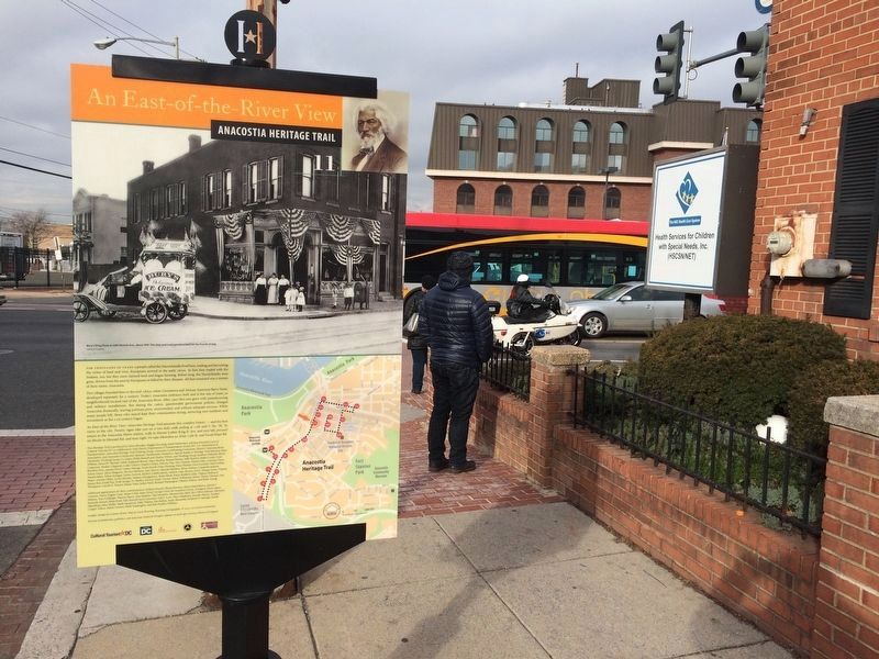
An East-of-the-River View
| — | Anacostia Heritage Trail | — |
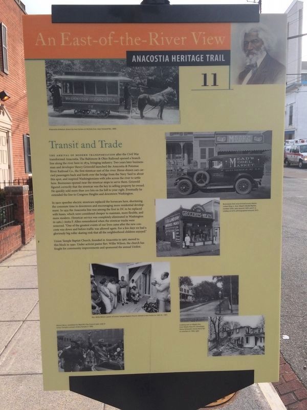
The arrival of modern transportation after the Civil War transformed Anacostia. The Baltimore & Ohio Railroad opened a branch line along the river here in 1874, bringing industry. Two years later businessman and developer Henry Griswold launched the Anacostia & Potomac River Railroad Co., the first streetcar east of the river. Horse-drawn cars carried passengers back and forth over the bridge from the Navy Yard to about this spot, and inspired Washingtonians with jobs across the river to settle here. Businesses opened near the streetcar stops to serve them. Griswold figured correctly that the streetcar was the key to selling property he owned. He quickly sold more than 200 lots on the hill to your right. Eventually he extended the line to Congress Heights and downtown Washington.
In 1900 speedier electric streetcars replaced the horsecars here, shortening the commute time to downtown and encouraging more residential development. In 1935 the Anacostia line was among the first in DC to be replaced with buses, which were considered cheaper to maintain, more flexible, and more modern. (Streetcar service was completely
this page online
Union Temple Baptist Church, founded in Anacostia in 1967, moved to this block in 1990. Under activist pastor Rev. Willie Wilson, the church has fought for community improvements and sponsored the annual Unifest.
Erected 2013 by Cultural Tourism DC. (Marker Number 11.)
Topics and series. This historical marker is listed in these topic lists: Industry & Commerce • Railroads & Streetcars • Religion & Religious Structures • Roads & Vehicles. In addition, it is included in the Anacostia Heritage Trail, and the Baltimore and Ohio Railroad (B&O) series lists. A significant historical year for this entry is 1874.
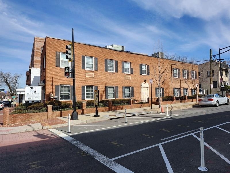
Location. 38° 51.896′ N, 76° 59.376′ W. Marker is in Southeast Washington in Washington, District of Columbia. It is in Anacostia. It is at the intersection of Martin Luther King Jr. Avenue Southeast

Regionally, this marker is in the Washington Metropolitan Area. It is also in the American Northeast, in the Upper South, in the Mid-Atlantic, in the Tidewater, and in the Chesapeake Bay Region. Globally, it is in North America, the Western Hemisphere, the Western World, and the Anglosphere.
Other nearby markers. At least 8 other markers are within walking distance of this marker: The Big Chair (within shouting distance of this marker); The World’s Largest Chair (within shouting distance of this marker); Union Temple Baptist Church (within shouting distance of this marker); a different marker also named The Big Chair (within shouting distance of this marker); A Neighborhood Oasis (about 500 feet away, measured in a direct line); A Legacy of Resilience (about 500 feet away); Barry Farm (about 500 feet away); New Covenant Baptist Church (about 600 feet
Photographed by J. Makali Bruton, February 22, 2025
4. Transit and Trade Marker
Credits. This page was last revised on March 2, 2025. It was originally submitted on January 15, 2018, by Devry Becker Jones of Washington, District of Columbia. This page has been viewed 640 times since then and 25 times this year. Last updated on March 7, 2019, by Devry Becker Jones of Washington, District of Columbia. Photos: 1, 2, 3. submitted on January 15, 2018, by Devry Becker Jones of Washington, District of Columbia. 4. submitted on March 2, 2025, by J. Makali Bruton of Washington, District of Columbia. • Bill Pfingsten was the editor who published this page.
