Pensacola in Escambia County, Florida — The American South (South Atlantic)
"Gloucester of the Gulf"
| — | Pensacola Maritime Heritage Trail | — |
Photographed by Mark Hilton, March 6, 2019
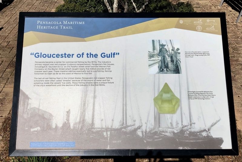
1. "Gloucester of the Gulf" Marker
The last all-sail fishing fleet in the United States, Pensacola's red snapper fishing schooners were often called "smacks" because of the sound of water and fish splashing inside the vessels' live wells. These fishing smacks were a unique fixture of the city's waterfront until the decline of the industry in the mid-1900s.
Photo captions:
Top right: Out at sea in the early 190Os, a commercial fisherman from Pensacola shows off his recent red snaper catch. (Image courtesy of the UWF Historic Trust)
Bottom right: Archaeologists recovered this deck prism from a commercial fishing shipwreck in the near Blackwater River. Prisms like these helped disperse daylight to dark areas in a ship's cabin. (Image courtesy of UWF Archaeology Institute)
Background Image: Red Snapper fishing schooners lined up along one of Pensacola's wharves, c 1910. (Image courtesy of the UWF Historic Trust)
Erected 2016
this page online
Topics. This historical marker is listed in these topic lists: Industry & Commerce • Waterways & Vessels. A significant historical year for this entry is 1910.
Location. 30° 24.271′ N, 87° 13.198′ W. Marker is in Pensacola, Florida, in Escambia County. It is on South Devilliers Street 0.1 miles south of West Main Street, on the right when traveling south. Near the Blue Wahoos Stadium. Touch for map. Marker is at or near this postal address: South Devilliers Street, Pensacola FL 32502, United States of America. Touch for directions.

Regionally, this marker is on the Florida Panhandle. It is also in the American South, specifically in the Deep South, and on the Gulf Coast. Globally, it is in the North Atlantic Region, North America, a Gulf of Mexico state, the Western Hemisphere, the Western World, and the Anglosphere. Historically, it finds itself in what was once New Spain, the territory of the Mississippian Culture, one of the Confederate States of America, and the Antebellum South.
Other nearby markers. At least 8 other
Photographed by Mark Hilton, March 6, 2019
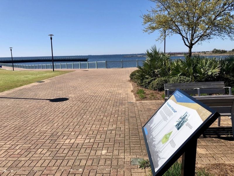
2. View of "Gloucester of the Gulf" Marker and the Pensacola Bay.
More about this marker. Photo caption spelling of "snaper" should be "snapper."
Photographed by Mark Hilton, March 6, 2019
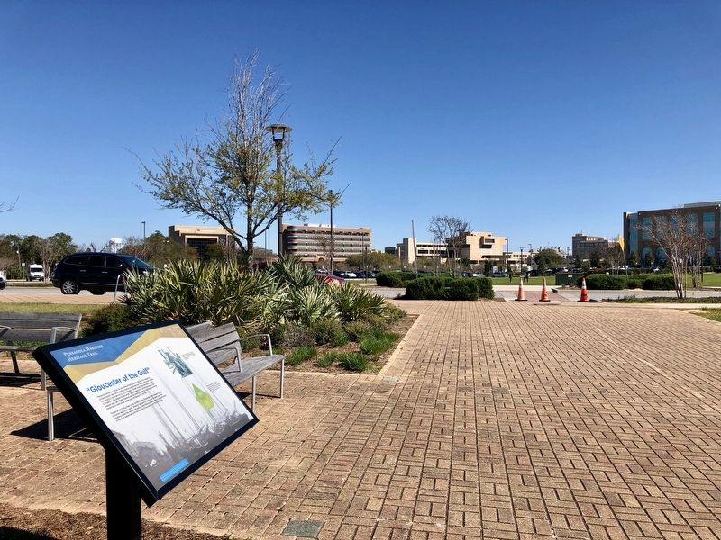
3. Marker with City of Pensacola buildings in background.
Credits. This page was last revised on October 9, 2020. It was originally submitted on March 8, 2019, by Mark Hilton of Montgomery, Alabama. This page has been viewed 654 times since then and 47 times this year. Photos: 1, 2, 3. submitted on March 8, 2019, by Mark Hilton of Montgomery, Alabama.
