Southwest Waterfront in Southwest Washington in Washington, District of Columbia — The American Northeast (Mid-Atlantic)
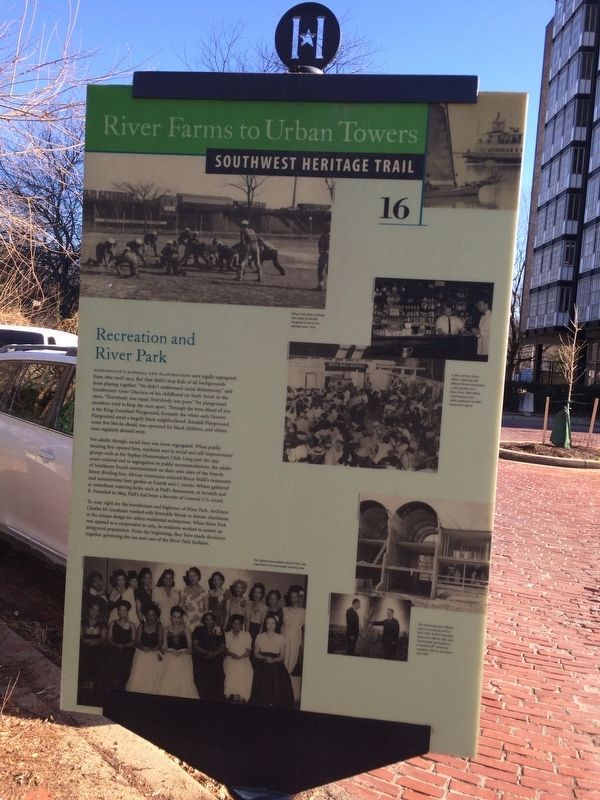
Recreation and River Park
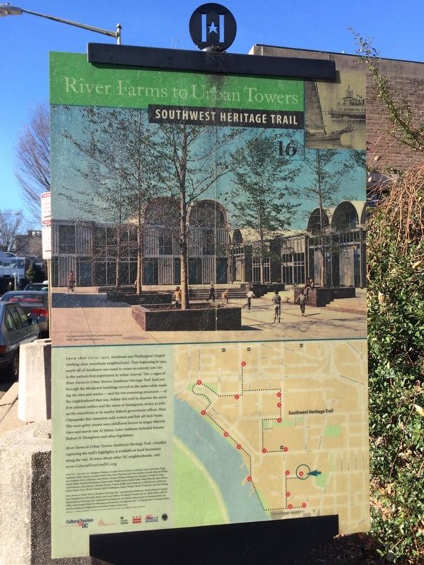
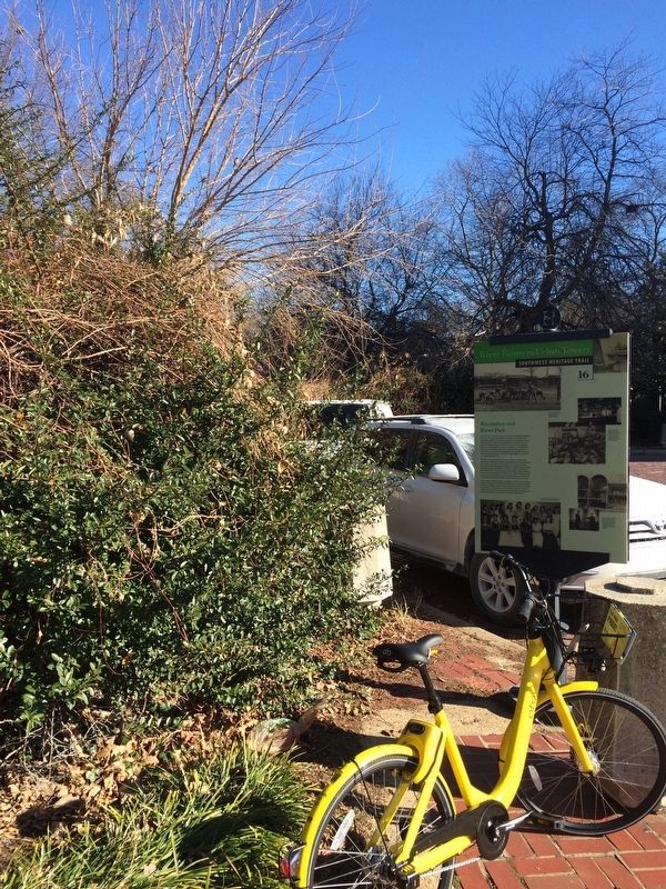
River Farms to Urban Towers
— Southwest Heritage Trail —
Washington's schools and playgrounds were legally segregated from 1862 until 1954. But that didn't stop kids of all backgrounds from playing together. "We didn't understand racial disharmony," said Southwester Gene Cherrico of his childhood on Sixth Street in the 1950s. "Everybody was equal. Everybody was poor." Yet playground monitors tried to keep the races apart. Through the trees ahead of you is the King-Greenleaf Playground, formerly the white-only Hoover Playground amid a largely black neighborhood. Randall Playground, some five blocks ahead, was operated for black children, and whites were regularly shooed away.
For adults, though, social time was more segregated. When public housing first opened here, residents met in social and self-improvement groups such as the Syphax Homemakers Club. Long past the 1953 court-ordered end to segregation in public accommodations, the adults of Southwest found entertainment on their own sides of the Fourth Street dividing line. African Americans enjoyed Bruce Wahl's restaurant and summertime beer garden at Fourth and C streets. Whites gathered at waterfront watering holes such as Hall's Restaurant, at Seventh and K. Founded in 1864, Hall's had been a favorite of General U.S. Grant.
To your right are the townhouses and highrises of River Park. Architect Charles M. Goodman worked with Reynolds Metals to feature aluminum in his unique design for urban residential architecture. When River Park was opened as a cooperative in 1963, its residents worked to ensure an integrated population. From the beginning, they have made decisions together governing the use and care of the River Park facilities.
Erected 2004 by Cultural Tourism DC. (Marker Number 16.)
Topics and series. This historical marker is listed in these topic lists: African Americans • Charity & Public Work • Parks & Recreational Areas. In addition, it is included in the Former U.S. Presidents: #18 Ulysses S. Grant, and the Southwest Heritage Trail series lists. A significant historical year for this entry is 1862.
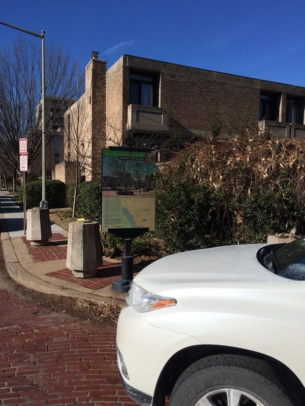
Location. 38° 52.48′ N, 77° 0.949′ W. Marker is in Southwest Washington in Washington, District of Columbia. It is in Southwest Waterfront. Marker is on N Street Southwest east of 4th Street Southwest. Touch for map. Marker is at or near this postal address: 203 N Street Southwest, Washington DC 20024, United States of America. Touch for directions.
Other nearby markers. At least 8 other markers are within walking distance of this marker. Blending Old and New (about 500 feet away, measured in a direct line); Wheat Row (about 600 feet away); Lewis House (about 600 feet away); Harbour Square (about 700 feet away); Linking the "Island" to the City
Additional keywords. segregation
Credits. This page was last revised on November 4, 2023. It was originally submitted on December 28, 2017, by Devry Becker Jones of Washington, District of Columbia. This page has been viewed 221 times since then and 18 times this year. Last updated on March 8, 2019, by Devry Becker Jones of Washington, District of Columbia. Photos: 1, 2, 3, 4. submitted on December 28, 2017, by Devry Becker Jones of Washington, District of Columbia.


