Canajoharie in Montgomery County, New York — The American Northeast (Mid-Atlantic)
Canajoharie/Canalway Trail/Pathway Through Mountains
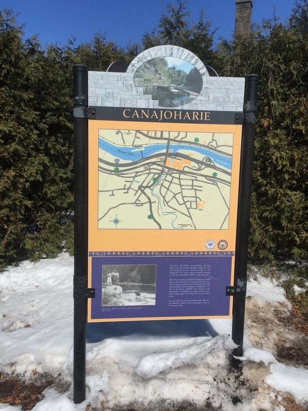
The Town and Village of Canajoharie take their name from the ancient Mohawk village that was once located in this area. Known by many as "the Boiling Pot", the name accurately translated as "The Pot That Washes Itself" or "The Clean Pot."
All of these variations refer to the distinctive circular hole in the rock bed of the Canajoharie Creek. Over ten feet deep and fifteen feet in diameter, the hole was formed by stones swirling in a whirlpool at the base of a prehistoric waterfalls. The women in the photograph are standing on a large circular stone whose rough edges were sanded off by this erosive action.
Over centuries the creek carved black shale cliff into the distinct shapes of the Canajoharie Gorge at Wintergreen Park.
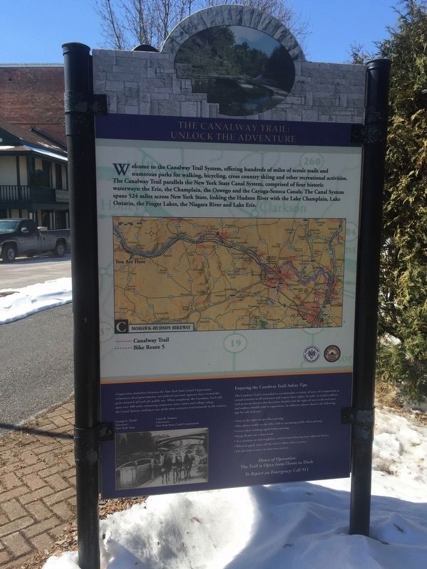
The Canalway Trail: Unock the Adventure
Welcome to the Canalway Trail System, offering hundreds of miles of scenic trails and numerous parks for walking, bicycling, crosscountry skiing, and other recreational activities. The Canalway Trail parallels the New York State Canal System, comprised of four historic waterways: the Erie, the Champlain, the Oswego, and the Cayuga-Seneca Canals. The Canal System spans 524 miles across New York State, linking the Hudson River with Lake Champlain, Lake Ontario, the Finger lakes and Lake Erie
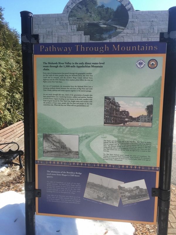
Pathway Through Mountains
The Mohawk valley is the only direct water-level route through the 1,300-mile Appalachian Mountain chain.
Every type of transportation has passed through this geographic corridor: the first trails of the native peoples along the Mohawk River; the 1825 Erie Canal and its towpath, and the modern Barge Canal; railroad lines; highways and the NYS Thruway. Even airplane pilots follow the river on flights across New York State.
Just east of Canajoharie, the mountains force the Mohawk River into a sweeping southern detour between the rock faces of Big Nose and Little Nose. Roads, railways, and canals squeeze together in the narrow passage.
As you travel through this area, think of the generations of people who have passed before you: wandering hunters, soldiers and patriots, families in horse-drawn wagons heading to new homes in the west, canallers with loads of grain bound for New York City, freight trains and truckers with products of later years, people who live here and people on the way somewhere else. What did they see? What will our grandchildren see?
This bicycle trail follows the path of the New York West Shore & Buffalo Railroad. The West Shore was built on the southern side of the of the Mohawk River to compete with the New York Central Railroad that ran on the north shore. The Mohawk Division of the 425-mile rail line opened in 1883 cutting through miles of rock at staggering construction cost. Three years later, the New York Central took over the line. Today, the right-of-way is owned by New York State.
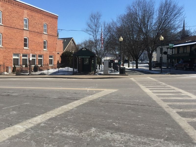
The West Shore Railroad passed through the center of Canajoharie. The Chamber of Commerce Tourist Information booth reproduces the watchman's shelter house at the corner of Church and Mohawk Streets, visible to the right of the ladies in this c. 1900 postcard.
The abutments of the Brooklyn Bridge used stone from Shaper's Cliff Street Quarry.
The hills of Canajoharie are made of very high-quality limestone. In 1849, Charles Shaper opened the first limestone quarry in town. Local stone was used in the early Erie Canal locks and on the New York Central Railroad., as well as the many stone buildings that you see throughout the village.
Large slabs of cut limestone were lifted out of quarry with tall wooden derricks and placed on horse-drawn wagons. Later, the stones were shipped to their destinations on canal barges and railroad cars.
Topics and series. This historical marker is listed in these topic lists: Bridges & Viaducts • Industry & Commerce • Settlements & Settlers • Waterways & Vessels. In addition, it is included in the Erie Canal series list. A significant historical year for this entry is 1825.
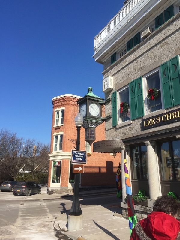
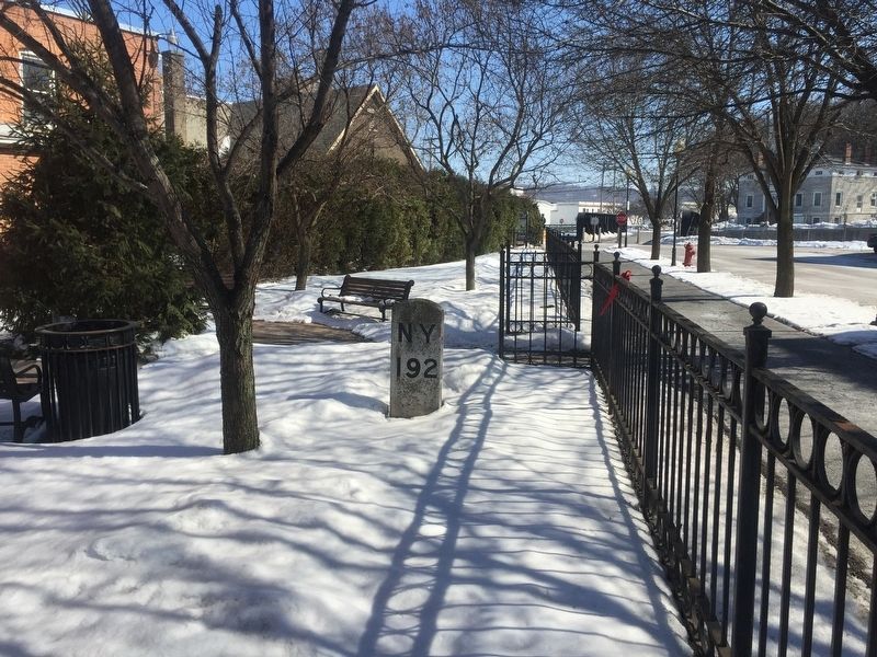
Location. 42° 54.331′ N, 74° 34.287′ W. Marker is in Canajoharie, New York, in Montgomery County. Marker is at the intersection of Montgomery Street and Church Street, on the right when traveling east on Montgomery Street. Touch for map. Marker is in this post office area: Canajoharie NY 13317, United States of America. Touch for directions.
Other nearby markers. At least 8 other markers are within walking distance of this marker. Northeastern Terminal (within shouting distance of this marker); Site of Johannes Reuff's Tavern (about 300 feet away, measured in a direct line); Van Alstyne Homestead (about 400 feet away); Canajoharie Academy (about 600 feet away); Routes of the Armies (about 700 feet away); Sullivan-Clinton Campaign (about 700 feet away); Chester B. Hoke (approx. ¼ mile away); Wagner Home (approx. 0.4 miles away). Touch for a list and map of all markers in Canajoharie.
Regarding Canajoharie/Canalway Trail/Pathway Through Mountains. Canajoharie was home to Beech Nut Foods. Its factory and large sign were landmarks on the Thruway. On 2014, Beech Nut was closed, and production moved to Florida, NY, and factory was torn down.
Also see . . .
1. Beech Nut. Wikipedia entry:
Beech-Nut's roots go back to 1891, to the Mohawk Valley town of Canajoharie, New York. Raymond P. Lipe, along with his friend John D. Zieley and their brothers, Walter H. Lipe and David Zieley, and Bartlett Arkell, founded The Imperial Packing Co. for the production of Beech-Nut ham. The product was based on the smoked hams of the Lipes' father, farmer Ephraim Lipe. The company's principal products were ham and bacon for the first seven years. The Zieleys sold their shares to the Lipe brothers in 1892.
The company was incorporated as the Beech-Nut Packing Company in 1899. Arkell was the first president of the company.[2] In 1900, the company's sales were $200,000. Engineers from Beech-Nut patented the first vacuum jar, with a design that included a gasket and top that could remain intact in transit and became a standard of the industry.
During the first 25 years of the 20th century, the company expanded its product line into peanut butter, jam, pork and beans, ketchup, chili sauce, mustard, spaghetti, macaroni, marmalade, caramel, fruit drops, mints, chewing gum, and coffee.
Beech Nut Baby Food was a staple in American life for years. (Submitted on March 10, 2019, by Steve Stoessel of Niskayuna, New York.)
2. About the Canalway Trail. New York State Canal Corporation website entry (Submitted on March 11, 2019, by Steve Stoessel of Niskayuna, New York.)
Additional keywords. Geology
Credits. This page was last revised on November 24, 2021. It was originally submitted on March 10, 2019, by Steve Stoessel of Niskayuna, New York. This page has been viewed 463 times since then and 54 times this year. Photos: 1, 2, 3, 4, 5, 6. submitted on March 10, 2019, by Steve Stoessel of Niskayuna, New York. • Bill Pfingsten was the editor who published this page.
