Surfside Beach in Horry County, South Carolina — The American South (South Atlantic)
Ark Plantation
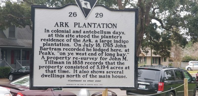
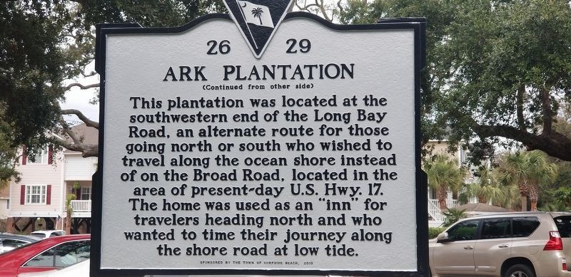
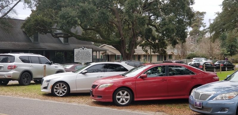
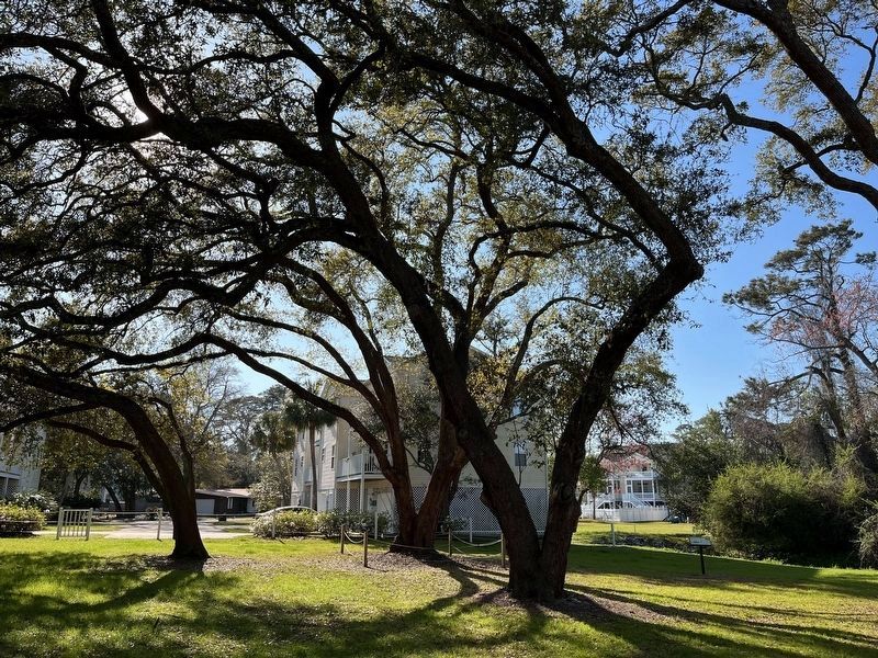
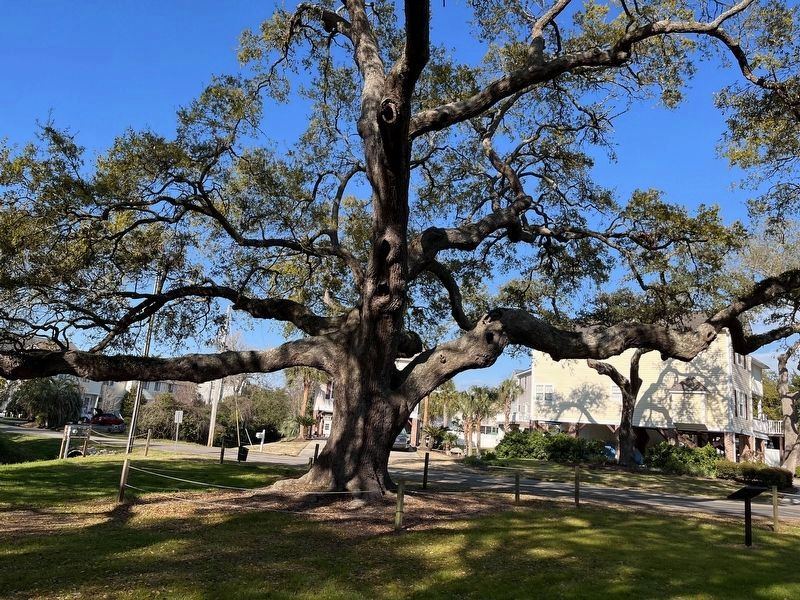
In colonial and antebellum days, at this site stood the planter's residence of the Ark, a large indigo plantation. On July 18, 1765 John Bartram recorded he lodged here, at Peak's, “on ye west end of long bay." A property re-survey for John M. Tillman in 1838 records that the property consisted of 3,194 acres at that time. It also shows several dwellings north of the main house.
Erected 2019 by Surfside Historical Society and Sponsored by the Town of Surfside Beach. (Marker Number 26 29.)
Topics. This historical marker is listed in these topic lists: Agriculture • Settlements & Settlers.
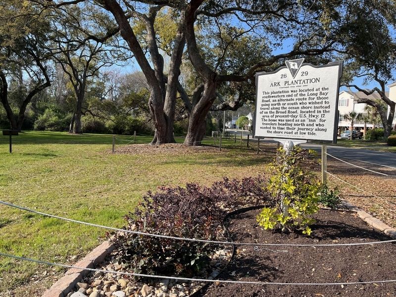
Location. 33° 36.322′ N, 78° 58.568′ W. Marker is in Surfside Beach , South Carolina, in Horry County. Marker is at the intersection of 3rd Avenue South and South Willow Drive, on the right when traveling south on 3rd Avenue South. Touch for map. Marker is in this post office area: Myrtle Beach SC 29575, United States of America. Touch for directions.
Other nearby markers. At least 8 other markers are within 4 miles of this marker, measured as the crow flies. The Ark Sand Ridge (a few steps from this marker); 1838 Ark Land Survey (a few steps from this marker); The Ark House and Shady Side Inn (within shouting distance of this marker); Ark Agriculture (within shouting distance of this marker); Surfside Beach Veterans Monument (approx. 0.2 miles away); Ark Cemetery (approx. 0.2 miles away); Jack Walker (approx. 3.6 miles away); St. James Rosenwald School (approx. 3.9 miles away). Touch for a list and map of all markers in Surfside Beach.
Credits. This page was last revised on March 23, 2023. It was originally submitted on March 10, 2019, by Charles Keller of Myrtle Beach, South Carolina. This page has been viewed 431 times since then and 29 times this year. Photos: 1, 2, 3. submitted on March 10, 2019, by Charles Keller of Myrtle Beach, South Carolina. 4, 5, 6. submitted on March 22, 2023, by Charles Wright of Surfside Beach, South Carolina. • Bernard Fisher was the editor who published this page.
