Little Falls in Herkimer County, New York — The American Northeast (Mid-Atlantic)
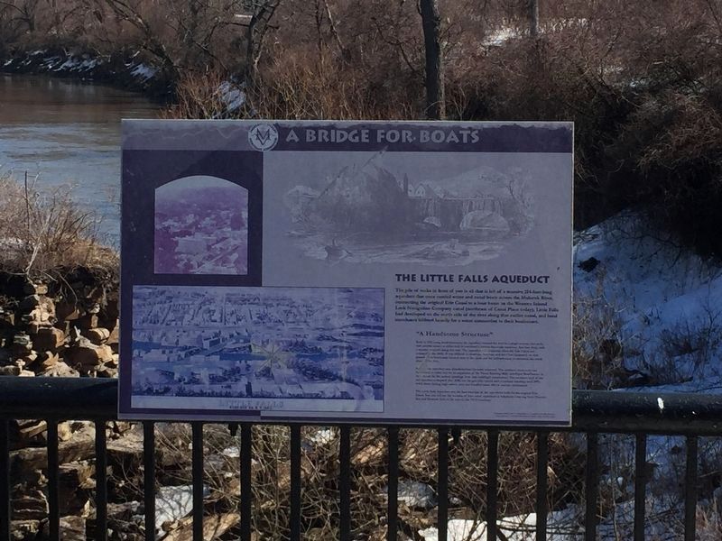
A Bridge for Boats
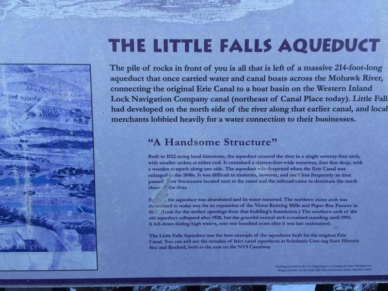
The Little Falls Aqueduct
Photographed by Steve Stoessel, March 23, 2019
1. A Bridge for Boats Marker
"A Handsome Structure"
Built in 1822 using local limestone, the aqueduct crossed the river in a single seventy-foot arch, with smaller arches at either end. It contained a sixteen-foot-wide waterway, four feet deep, with a wooden towpath along one side. The aqueduct was-deepened when the Erie Canal was enlarged in the 1840s. It was difficult to maintain, however, and used less frequently as time passed. New businesses located next to the canal and the railroad came to dominate the north shore the river.
By 1881, the aqueduct was abandoned and its water removed. The northern stone arch was dynamited to make way for an expansion of the Victor Knitting Mills and Paper Box
this page online
The Little Falls Aqueduct was the best example of the aqueducts built for the original Erie Canal. You can still see the remains of later canal aqueducts at Schoharie Crossing State Historic Site and Rexford, both to the east on the NYS Canalway.
Erected by US Department of Housing and Urban Development.
Topics and series. This historical marker is listed in these topic lists: Bridges & Viaducts • Waterways & Vessels. In addition, it is included in the Erie Canal series list. A significant historical year for this entry is 1822.
Location. 43° 2.391′ N, 74° 51.534′ W. Marker is in Little Falls, New York, in Herkimer County. It is at the intersection of Mohawk Street, on the left when traveling south on Mohawk Street. Touch for map. Marker is in this post office area: Little Falls NY 13365, United States of America. Touch for directions.

Regionally,
Photographed by Steve Stoessel, March 15, 2019
2. A Bridge for Boats Marker
Other nearby markers. At least 8 other markers are within walking distance of this marker: Lafayette's Tour (a few steps from this marker); Benton’s Landing (a few steps from this marker); Little Falls (within shouting distance of this marker); Route of the Little Falls Canal (about 400 feet away, measured in a direct line); The Cheese Business (approx. 0.2 miles away); The World's Best Cheddar (approx. 0.2 miles away); Little Falls Gristmill Attack (approx. 0.2 miles away); Herkimer County Bank — 1833 (approx. 0.2 miles away). Touch for a list and map of all markers in Little Falls.
Also see . . . The Travels of Tug 44 - Little Falls Aqueduct. (Submitted on October 19, 2024, by Howard C. Ohlhous of Duanesburg, New York.)
Photographed by Steve Stoessel, March 23, 2019
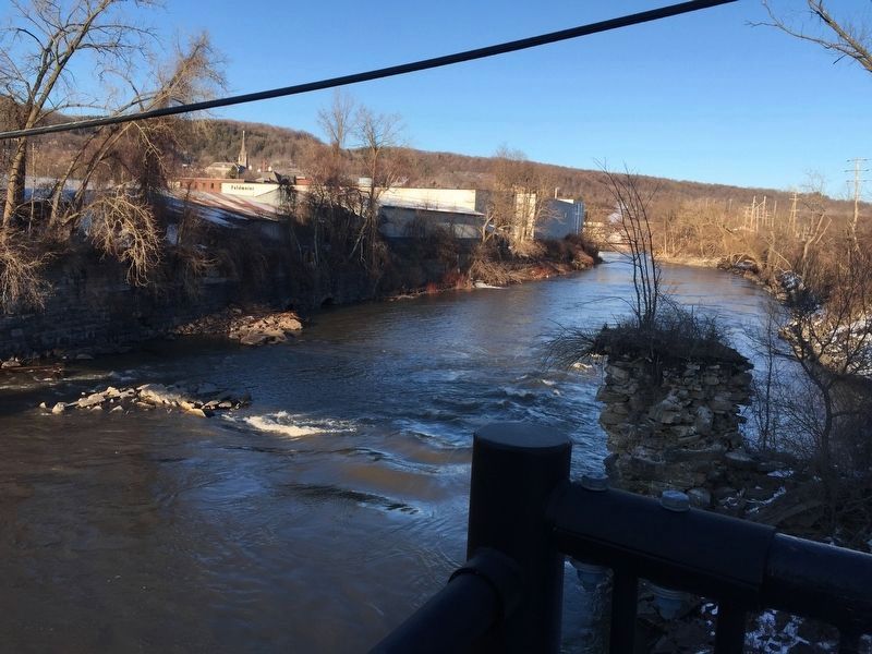
3. View Downstream from Marker
Photographed by Steve Stoessel, March 23, 2019
4. Looking upstream
Credits. This page was last revised on October 27, 2024. It was originally submitted on March 16, 2019, by Steve Stoessel of Niskayuna, New York. This page has been viewed 1,154 times since then and 49 times this year. Photos: 1. submitted on March 23, 2019, by Steve Stoessel of Niskayuna, New York. 2. submitted on March 16, 2019, by Steve Stoessel of Niskayuna, New York. 3, 4. submitted on March 23, 2019, by Steve Stoessel of Niskayuna, New York. • Bill Pfingsten was the editor who published this page.
