Anna Maria in Manatee County, Florida — The American South (South Atlantic)
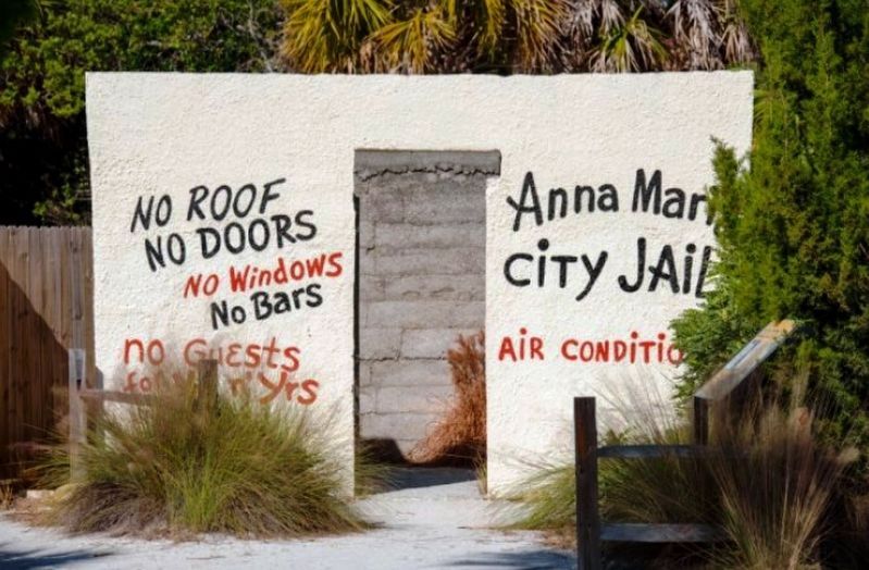
The Old City Jail
Photographed by Brandon D Cross, March 6, 2019
1. Old City Jail Marker
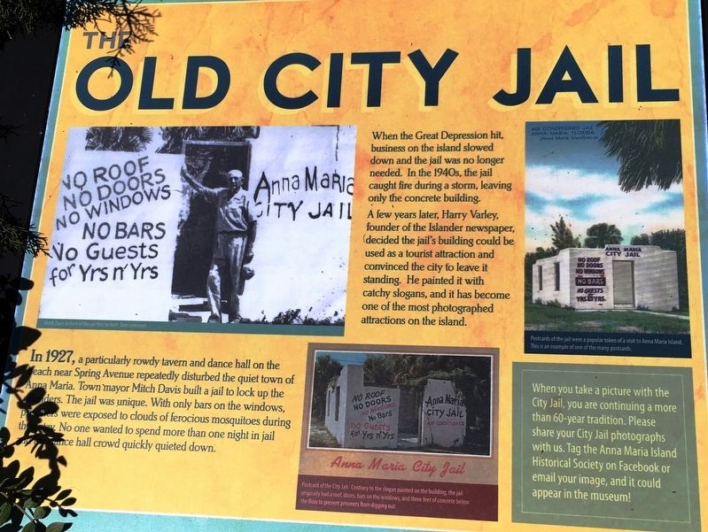
In 1927, a particularly rowdy tavern and dance hall on the beach near Spring Avenue rapidly disturbed the quiet town of Anna Maria. Town mayor Mitch Davis built a jail to lock up the offenders. The jail was unique. With only bars on the windows, prisoners were exposed to clouds of furious mosquitoes during their stay. No one wanted to spend more than one night in jail and the dance hall crowd quickly quieted down.
When the Great Depression hit, business on the island slowed down and the jail was no longer needed. In the 1940, the jail caught fire during a storm, leaving only the concrete building.
A few years later, Harry Varley, founder of the Islander newspaper, decided the jail’s building could be used as a tourist attraction and convinced the city to leave it standing. He painted it with catchy slogans, and has become one of the most photographed attractions on the island.
(sidebar)
When you take a picture with the City Jail, you are continuing a more than 60-year tradition. Please share your City Jail photographs with us. Tag the Anna Maria Island Historical Society on Facebook or email your image, and
this page online
Erected by Anna Maria Island Historical Museum.
Topics. This historical marker is listed in these topic lists: Parks & Recreational Areas • Settlements & Settlers. A significant historical year for this entry is 1927.
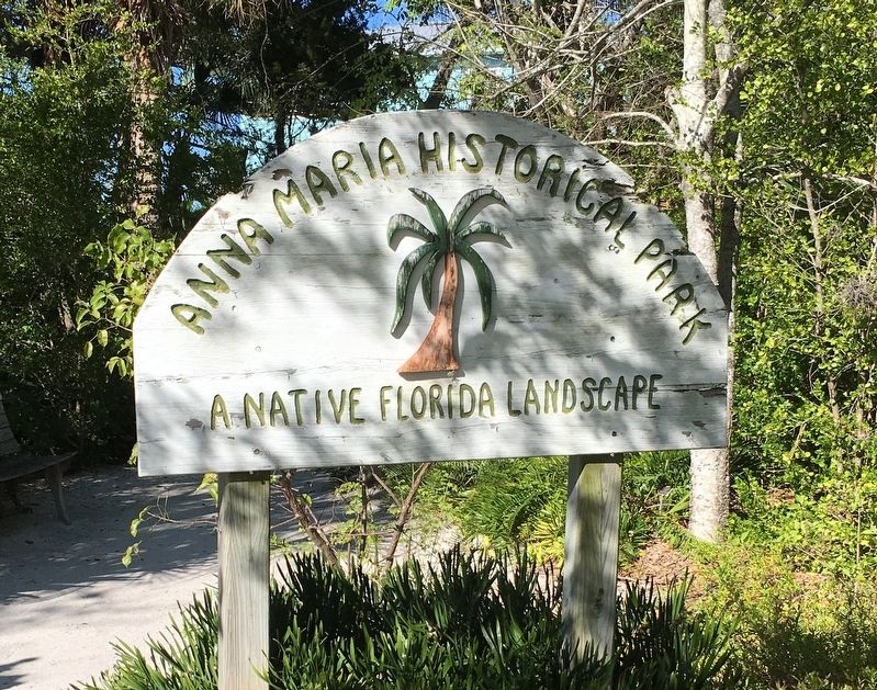
Location. 27° 31.775′ N, 82° 44.094′ W. Marker is in Anna Maria, Florida, in Manatee County. It is on Pine Avenue north of Crescent Drive, on the left when traveling north. Located inside Anna Maria Historical Park. Touch for map. Marker is at or near this postal address: 402 Pine Ave, Anna Maria FL 34216, United States of America. Touch for directions.

Regionally, this marker is on the Gulf Coast and on Tampa Bay. It is also in the American South and on the Gulf Coast. Globally, it is in the North Atlantic Region, North America, a Gulf of Mexico state, the Western Hemisphere, the Western World, and the Anglosphere. Historically, it finds itself in what was once New Spain, the territory of the Mississippian Culture, one of the Confederate States of America, and the Antebellum South.
Other nearby markers. At least 8 other markers are within walking distance of this

Photographed by Pete Skillman, March 11, 2026
2. The Old City Jail Marker - wide view
Also see . . . Anna Maria Island Historical Society Museum. (Submitted on March 24, 2019.)
Anna Marie Historical Society, March 6, 2019
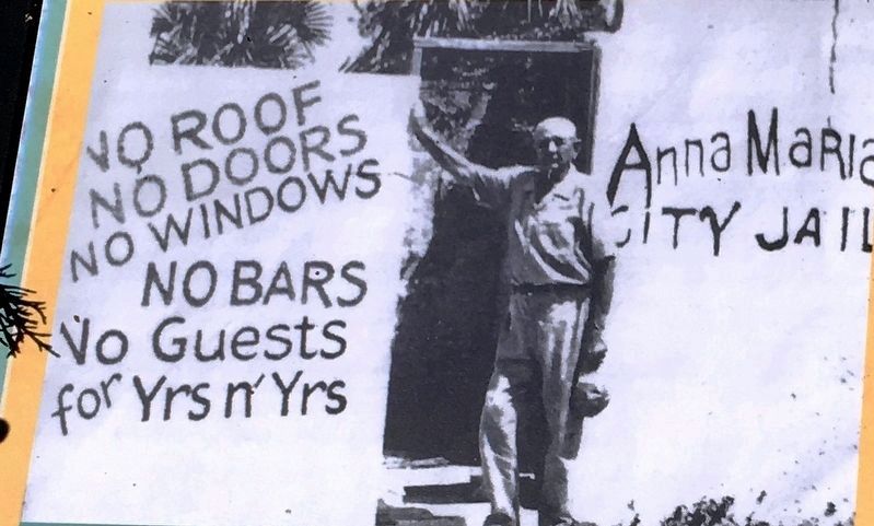
3. Marker detail: Mitch Davis in front of the jail that he built
Anna Maria Historical Society, March 6, 2019
4. Old City Jail
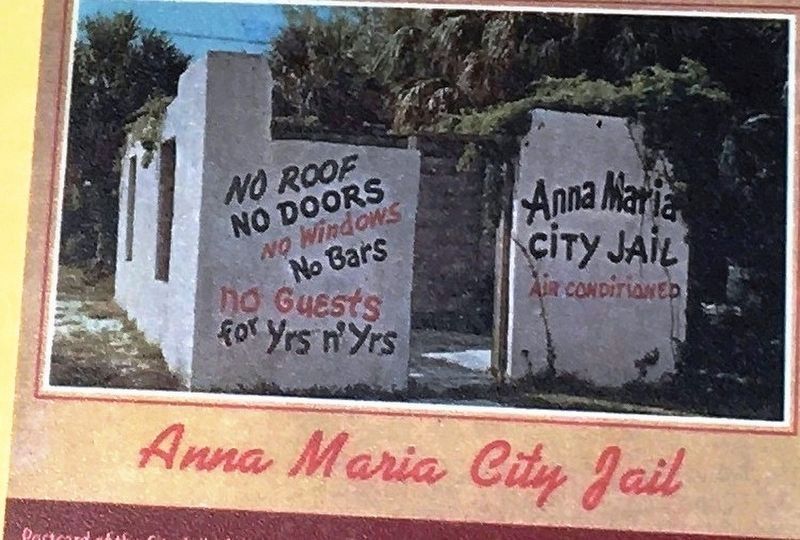
Post card of the City Jail. Contrary to the slogan painted on the building, the jail originally had had a roof, doors, bars on the windows, and three feet of concrete below the floor to prevent prisoners from digging out.
Anna Marie Historical Society, March 6, 2019
5. Old City Jail Marker
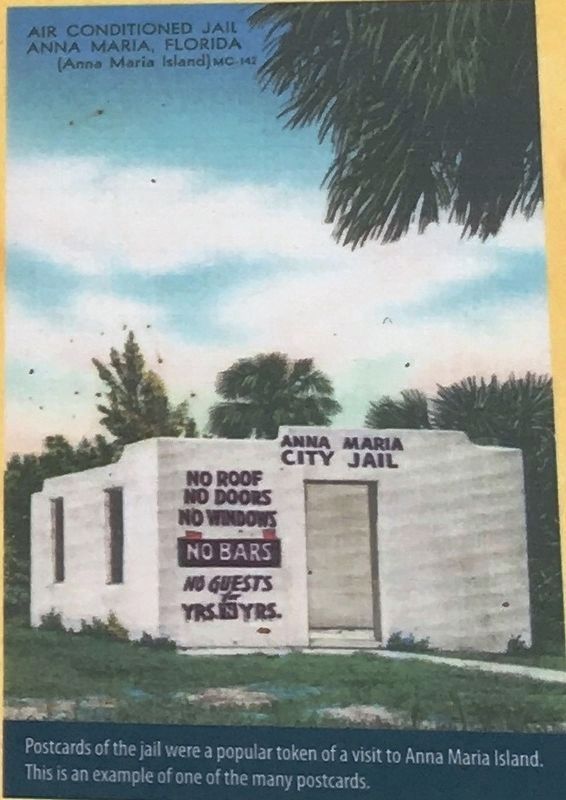
Post cards of the jail were a popular token of a visit to Anna Maria Island. This is an example of the many postcards.
Anna Maria Historical Society, March 6, 2019
6. Old City Jail Marker
Photographed by Brandon D Cross, March 6, 2019
7. Anna Maria Historical Park
Credits. This page was last revised on March 11, 2026. It was originally submitted on March 22, 2019, by Brandon D Cross of Flagler Beach, Florida. This page has been viewed 1,757 times since then and 166 times this year. Photos: 1. submitted on March 22, 2019, by Brandon D Cross of Flagler Beach, Florida. 2. submitted on March 11, 2026, by Pete Skillman of Wilmington, Delaware. 3, 4, 5, 6, 7. submitted on March 22, 2019, by Brandon D Cross of Flagler Beach, Florida. • Bernard Fisher was the editor who published this page.
