Gardner in Johnson County, Kansas — The American Midwest (Upper Plains)
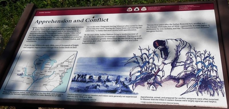
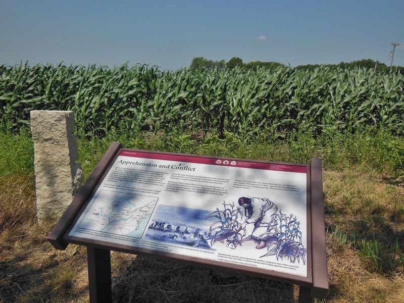
Apprehension and Conflict
From the late 1830s to the early 1860s, tens of thousands of freight and emigrant wagons passed through these Indian lands on their way to the west. Emigrants leaving Missouri often noted in their diaries that they were “leaving the United States and entering the wilderness,” a reality that most viewed with apprehension.
By the mid 1850s, Indian Nations living in territories west of here, felt their lifestyles increasingly threatened. The impacts of western expansion greatly diminished the vast herds of big game, vegetation, and other resources critical for survival and tribal independence.
Twenty-four years after the Indian Removal Act, another act — the Kansas-Nebraska Act of 1854 — opened the Kansas region to settlement by non-Indians, and the "Permanent Indian Frontier" was gone forever.
(photo captions)
• (bottom left) Many of the American Indians, north and east of the Ohio River, were moved to the Kansas and Nebraska region as a result of the Indian Removal Act of 1830.
• (bottom center) Conflicts between emigrant travelers and Indians were generally not experienced until the early 1850s and 1860s. (Emigrants Attacked by Comanches – ID#32246)
Denver Public Library – Western History Collection
• (bottom right) Apprehensive, armed, and prepared for conflict, emigrants were often surprised to discover that the tribes in eastern Kansas were largely agrarian and helpful. (Image courtesy of the Kansas State Historical Society.)
Erected by Santa Fe, Oregon and California National Historic Trails, City of Gardner and National Park Service.
Topics and series. This historical marker is listed in these topic lists: Native Americans • Roads & Vehicles • Settlements & Settlers. In addition, it is included in the California Trail, the Oregon Trail, and the Santa Fe Trail series lists. A significant historical year for this entry is 1830.
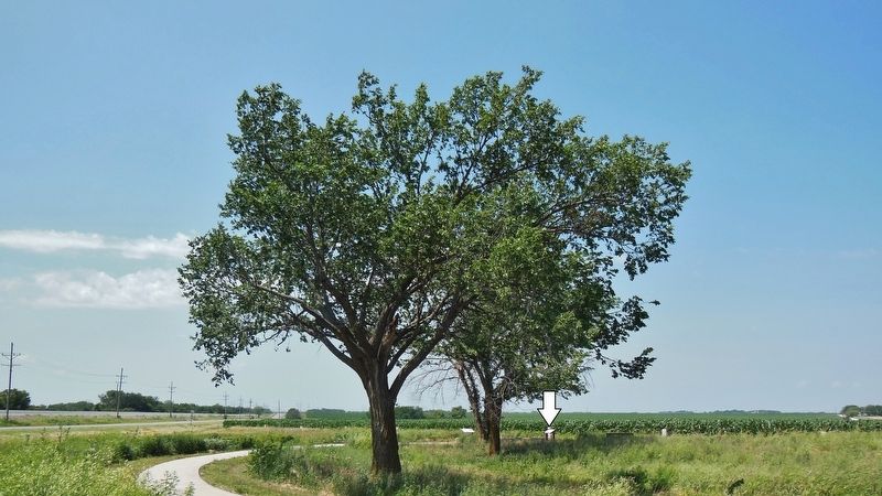
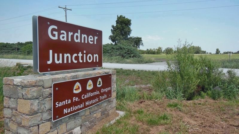
Location. 38° 47.773′ N, 94° 57.742′ W. Marker is in Gardner, Kansas, in Johnson County. Marker can be reached from the intersection of U.S. 56 and West 183rd Street, on the right when traveling west. Marker is located along the west side of the walkway loop in Gardner Junction Park. Touch for map. Marker is at or near this postal address: 32505 West 183rd Street, Gardner KS 66030, United States of America. Touch for directions.
Other nearby markers. At least 8 other markers are within 2 miles of this marker, measured as the crow flies. From Prairie Schooners to Locomotives (here, next to this marker); Following Their Dreams (within shouting distance of this marker); Eye of the Needle (within shouting distance of this marker); A Look Back in Time (within shouting distance of this marker); a different marker also named A Look Back in Time (within shouting distance of this marker); a different marker also named A Look Back in Time (within shouting distance of this marker); Overland Trails (approx. 2 miles away); The Herman B. Foster Home (approx. 2 miles away). Touch for a list and map of all markers in Gardner.
Also see . . .
1. Indian Removal Act (Wikipedia). In the early 1800s, the United States government began a systematic effort to remove American Indian tribes from the southeast. The Indian Removal Act was signed into law on May 28, 1830 by President Andrew Jackson. The law authorized the president to negotiate with southern Native American tribes for their removal to federal territory west of the Mississippi River in exchange for white settlement of their ancestral lands. (Submitted on March 24, 2019, by Cosmos Mariner of Cape Canaveral, Florida.)
2. Indian Treaties and the Removal Act of 1830. The U.S. Government used treaties as one means to displace Indians from their tribal lands, a mechanism that was strengthened with the Removal Act of 1830. In cases where this failed, the government sometimes violated both treaties and Supreme Court rulings to facilitate the spread of European Americans westward across the continent. (Submitted on March 24, 2019, by Cosmos Mariner of Cape Canaveral, Florida.)
3. Kansas–Nebraska Act (Wikipedia). The Kansas–Nebraska Act of 1854 was passed by the 33rd U.S. Congress and created the territories of Kansas and Nebraska. It was drafted by Democratic Senator Stephen A. Douglas of Illinois and President Franklin Pierce. The initial purpose of the Kansas–Nebraska Act was to open up thousands of new farms and make feasible a Midwestern Transcontinental Railroad. Prior to the organization of the Kansas–Nebraska territory in 1854, the Kansas and Nebraska Territories were consolidated as part of the Indian Territory. After 1854, white American settlers from both the free-soil North and pro-slavery South flooded the Northern Indian Territory. (Submitted on March 24, 2019, by Cosmos Mariner of Cape Canaveral, Florida.)
Credits. This page was last revised on March 24, 2019. It was originally submitted on March 22, 2019, by Cosmos Mariner of Cape Canaveral, Florida. This page has been viewed 375 times since then and 22 times this year. Photos: 1, 2, 3, 4. submitted on March 23, 2019, by Cosmos Mariner of Cape Canaveral, Florida.


